Ready to explore this trail?
View Trail Map in AppNo permit or fee is required. Vehicle access to the park runs 7:30 AM to 9:30 PM, May through October; the park is accessible on foot only from November through April.
Path Type
Loop
This route starts and ends at the Timms Hill trailhead, covering approximately 1.0 mile with roughly 220 vertical feet of gain.
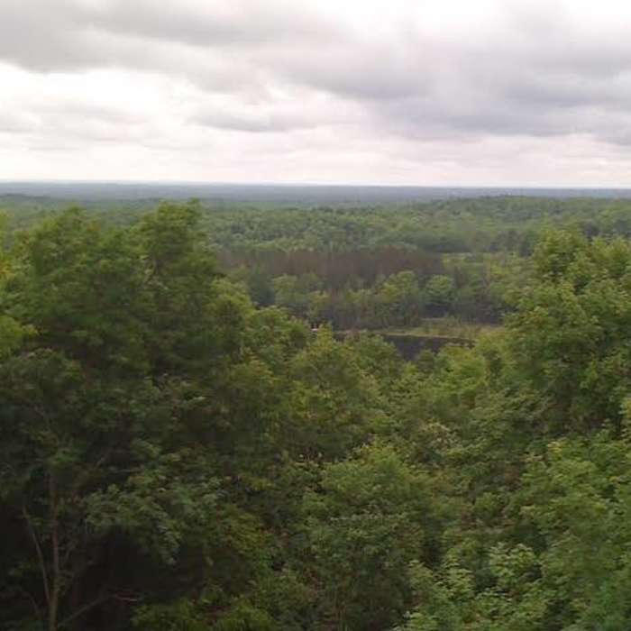
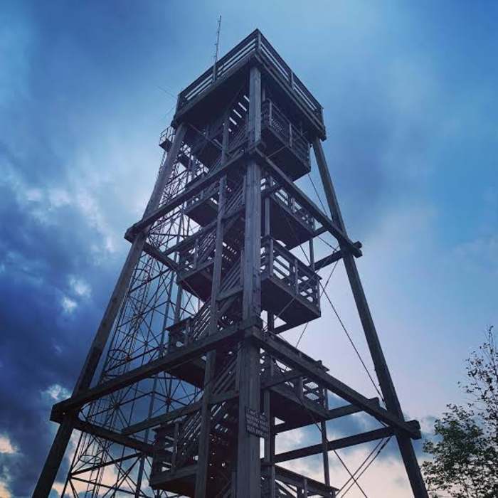
From the trailhead, the trail climbs gradually through hardwood forest, gaining about 80 vertical feet over the first 0.1 miles before leveling off along the hill's lower flank. Around 0.35 miles the trail dips into a shallow saddle, then climbs again — more steeply this time — to a high point near 0.6 miles, roughly 140 vertical feet above the saddle. A junction near the summit connects to the Timms Hill Observation Tower Trail, a short spur leading to the hill's twin observation towers, for hikers who want to add the high point itself. Continuing on the loop, the trail descends back toward the trailhead, closing the circuit.
No Condition Reports
Timms Hill Observation Tower
Timms Hill Observation Tower
Little Falls-Slough Gundy Scenic Area Trail
Little Falls-Slough Gundy Scenic Area Trail
Lake Trail
Lake Trail
Old Abe State Trail
Old Abe State Trail
Red Granite Falls Trail
Red Granite Falls Trail
Takesson Trail
Takesson Trail
Contributors

