Ready to explore this trail?
View Trail Map in AppNo permits or fees are required to access this route. Forest Road 112, which provides access to the trailhead, is a steep, winding gravel road that is not maintained or plowed during the winter months, making it generally impassable from late fall through early spring due to snow and ice.
Path Type
Loop
This route starts and ends at the Spruce Knob parking area at the end of Forest Road 112, gaining only 15 vertical feet over its entire distance.
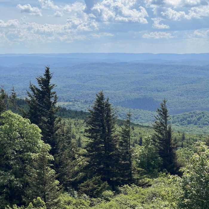
From the parking lot, head southwest on the gravel path. At 0.2 miles, reach the stone and wood Spruce Knob Observation Tower on the left. Continue straight past the tower to follow the path as it curves south along the edge of the ridge. At 0.3 miles, pass the overlook with views of the Seneca Creek area. Continue along the ridge through the red spruce forest, following the path as it turns north. At 0.4 miles, pass a short connector path on the left, keeping right to stay on the main trail as it curves north to return to the parking area, completing the 0.6-mile route.
No Condition Reports
Spruce Knob via Huckleberry Trail
Spruce Knob via Huckleberry Trail
Roaring Plains Circuit
Roaring Plains Circuit
Dolly Sods Circumnavigation
Dolly Sods Circumnavigation
Blackbird/Ridge Loop
Blackbird/Ridge Loop
Snarkley Route
Snarkley Route
Dolly Sods Challenge Hike - circumnavigation
Dolly Sods Challenge Hike - circumnavigation
Contributors

