Ready to explore this trail?
View Trail Map in AppRegional Classic
A must do route for the area handpicked by local experts.
No permits are required for parking, hiking, or backcountry camping in this area of Monongahela National Forest.
Spruce Mountain Road is not maintained in winter and is often closed or impassable due to snow from mid-November through mid-April.
Path Type
There and Back
This route begins and ends at the FS 274 Trailhead after reaching the summit and overlooks of Spruce Knob, by way of the Huckleberry Trail.
From the gate at Forest Service Road 274, follow the overgrown fire road northeast through mixed hardwood forest. At mile one, watch for a large washed-out culvert where a stream crosses the road. Roughly 100 yards past the culvert, around 1.1 miles, turn left at orange flagging and a line of large boulders, ascending the embankment onto a narrow connector trail. In under half a mile, reach a signed junction with Huckleberry Trail #533 at mile 1.5. Turn left, following the trail toward the summit.
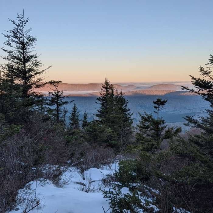
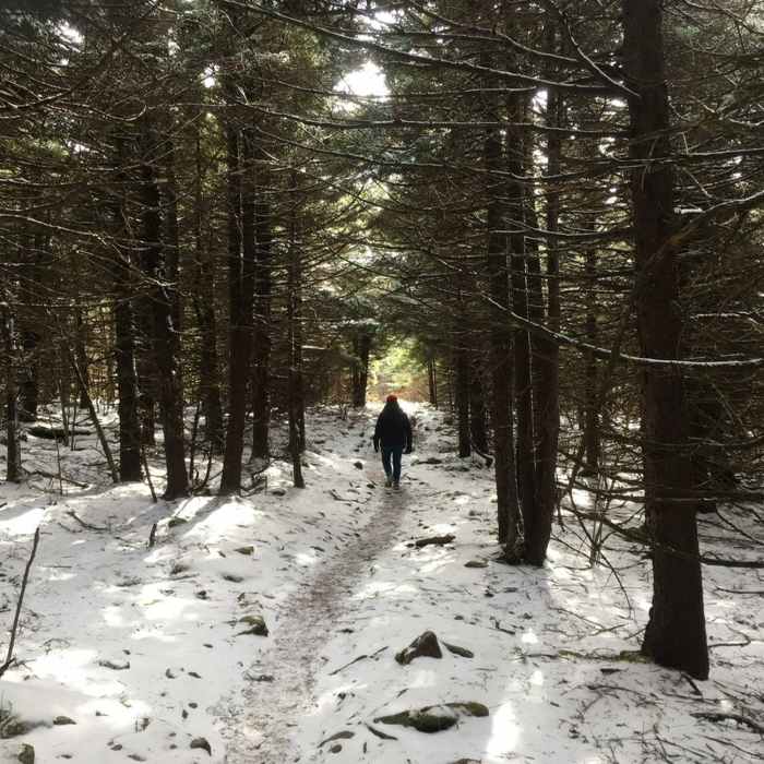
The Huckleberry Trail climbs gradually through a mosaic of red spruce, hardwoods, and open glades approaching 4,800'. Moss and lichen carpet the forest floor, and the trail offers occasional views through the trees to the hills and valleys beyond. Footing is intermittently rooty and muddy throughout.
At mile 5.0, cross the paved Spruce Mountain Road at the summit parking area. Follow the graveled Whispering Spruce Trail a short distance to the stone observation tower atop Spruce Knob at 4,863' — the highest point in West Virginia and the entire Allegheny Mountain range — at mile 5.3.
Continue to the south, past the observation tower to a viewpoint at 5.4 miles. Follow the trail back to the north and cross the summit parking area to head towards the Huckleberry Trail.
Return the way you came. Mark the connector trail junction on your GPS before the descent — it branches right off Huckleberry and is easy to miss.
No Condition Reports
Whispering Spruce
Whispering Spruce
Roaring Plains Circuit
Roaring Plains Circuit
Dolly Sods Circumnavigation
Dolly Sods Circumnavigation
Blackbird/Ridge Loop
Blackbird/Ridge Loop
Dolly Sods Challenge Hike - circumnavigation
Dolly Sods Challenge Hike - circumnavigation
Dolly Sods Wilderness
Dolly Sods Wilderness
Contributors

