


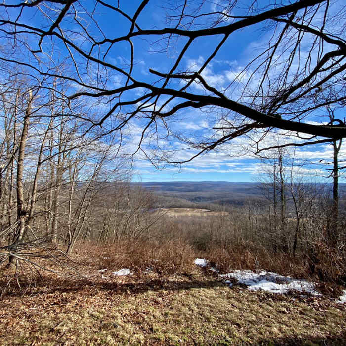
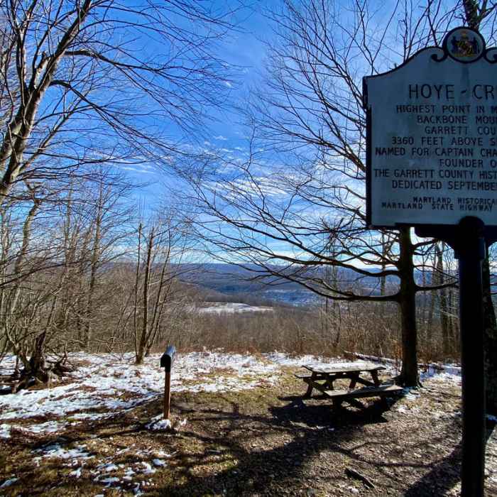
Ready to explore this trail?
View Trail Map in AppRegional Classic
A must do route for the area handpicked by local experts.
No permits or fees are required to hike this route. Parking is limited to a gravel pull-off along the shoulder of US Highway 219 that accommodates only a few vehicles.
The summit area is located on private property, so hikers must remain on the designated trail and pack out all trash to preserve public access.
Path Type
There and Back
The route begins and ends at the Hoye-Crest Trailhead after reaching the Hoye-Crest summit on Backbone Mountain.
From the highway, follow the trail heading southeast into the forest. The trail ascends steadily along an old logging road, gaining approximately 680 vertical feet over 0.9 miles. At 0.9 miles, reach the crest of Backbone Mountain and the West Virginia-Maryland state line, marked by a historic stone boundary marker. Turn left to head north at this junction and follow the ridge trail for 0.1 miles to the summit of Hoye-Crest, situated at 3,360 feet.
Retrace your steps back to the trailhead on US Highway 219.
No Condition Reports
Dolly Sods Challenge Hike - circumnavigation
Dolly Sods Challenge Hike - circumnavigation
Dolly Sods Wilderness
Dolly Sods Wilderness
Dolly Sods Wilderness - North Day Loop
Dolly Sods Wilderness - North Day Loop
Blackbird/Ridge Loop
Blackbird/Ridge Loop
Dolly Sods Circumnavigation
Dolly Sods Circumnavigation
Fork Run Loop
Fork Run Loop
Contributors

