Ready to explore this trail?
View Trail Map in AppPath Type
Loop
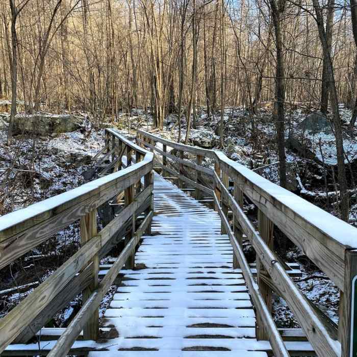
Overall well kept trails, even though we were there during the off season. The trails are definitely more geared towards mountain biking with the spacing of blazes and overall trail feel, but still provided a nice hike. Some blazes had fallen and were propped up against trees. There are multiple older trails that intersect with the current trail and it is easy to end up on the wrong path at times. Some nice wildlife and a river crossing with a well built bridge. There is no view. Muddy trails and some rocks present, wear good shoes.
No Condition Reports
Meadow Mountain Trail
Meadow Mountain Trail
Beckman Trail
Beckman Trail
New Germany Outer Trail Loop
New Germany Outer Trail Loop
Hoye-Crest: Maryland High Point Trail
Hoye-Crest: Maryland High Point Trail
Sugarloaf Sled Hill to Falls Overlook
Sugarloaf Sled Hill to Falls Overlook
Coopers Rock Grand Loop
Coopers Rock Grand Loop
Contributors

