
Ready to explore this trail?
View Trail Map in AppA NW Forest Pass or Interagency Pass is required on each vehicle parked at trailheads. Day & Annual NW Passes are available at Forest Service offices and vendors.
Path Type
Loop
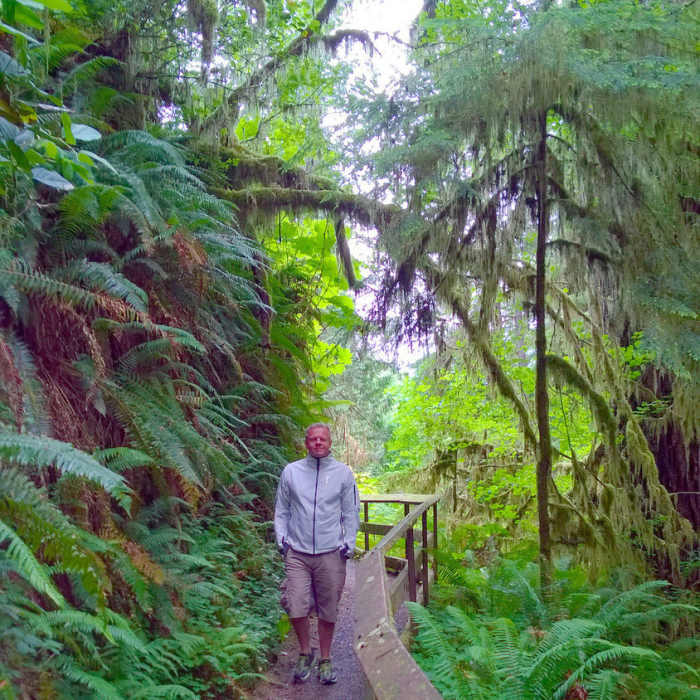
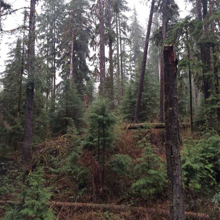
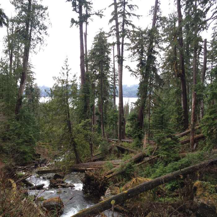
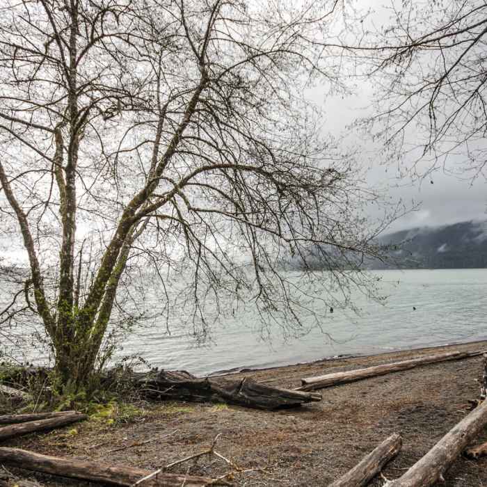
On Lake Quinaultas southern shore just beyond the boundaries of Olympic National Park lies one of the most well-protected old-growth conifer forests in the entire United States. Luckily, the Forest Service has built the Quinault National Recreation Trail System, a network of approximately 10 miles of hiking trails, to explore this incredible wilderness sanctuary. The trail system has numerous routes, but the roughly 4-mile Cedar Loop is certainly the best introduction to the variety of attractions this landscape has to offer. In addition to Lake Quinaultas shoreline, you'll see giant Sitka spruce and western hemlocks, tumbling crystal-clear creeks, moss and fern adorned ground cover, and an extensive boardwalk system that winds through bogs dotted with skunk cabbage and flanked by massive stands of western red cedars. Youall also pass 20-foot Cascade Falls and 8-foot Falls Creek Falls. To get started, consider spending some time with the informative interpretive signs on the 0.5-mile Quinault Rainforest Nature Trail on the systemas western edge, or begin your journey via the shoreline in front of Lake Quinault Lodge. Both make excellent starting points. If you are looking for additional hiking in the area, take the Gatton Creek Falls Loop. Douglas firs are our planetas second tallest conifer species after coastal redwoods, and you'll see some huge examples on this loop.
All Clear
Looking for more condition reports?
Quinault National Recreation Trail System, Gatton Creek Falls Loop
Quinault National Recreation Trail System, Gatton Creek Falls Loop
Quinault Rain Forest Nature Trail
Quinault Rain Forest Nature Trail
Kestner Homestead Trail
Kestner Homestead Trail
Pete's Creek Trail to Colonel Bob Summit
Pete's Creek Trail to Colonel Bob Summit
Sams River Loop Trail
Sams River Loop Trail
Enchanted Valley
Enchanted Valley
Contributors

