

Near Stowe Pinnacle
Cloudy day on top of Stowe Pinnacle.
Near Stowe Pinnacle
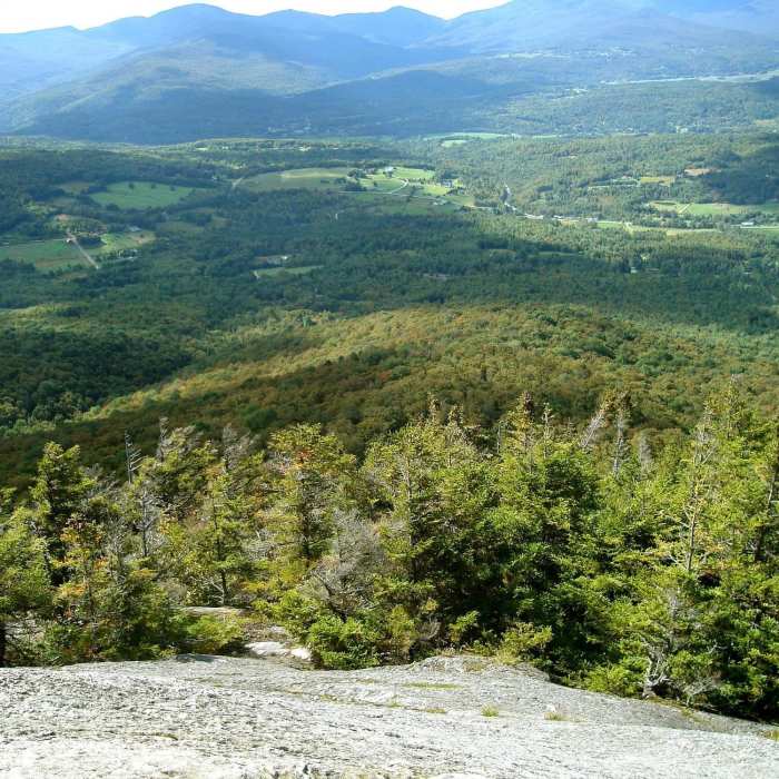
Looking down Stowe Pinnacle's barren top. with permission from irishlazz
Near Stowe Pinnacle
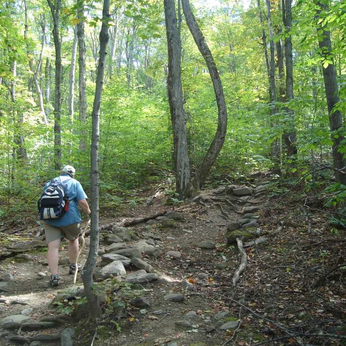
Beautiful and well-maintained trail! with permission from irishlazz
Near Stowe Pinnacle
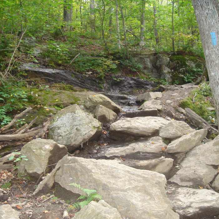
Great stairmaster trail! with permission from irishlazz
Near Stowe Pinnacle
Looking southeast at Camel's Hump. with permission from irishlazz

Looking for more photos?

View All Photos
View Map
Driving Directions
Classic Hike Route
Buy NowView in 3D

Stowe Pinnacle

4.4 (16 Ratings)
A short, popular climb to an open, rocky summit with sweeping views of Mount Mansfield, Camel's Hump, and Mount Hunger.
3.1
mi
Distance
1,554
ft
Gain
strenuous
Difficulty
Regional Classic
A must do route for the area handpicked by local experts.
Dogs AllowedFall ColorsViews
Access Issues
No fee is charged, but the small trailhead lot fills by mid-morning on weekends and during fall foliage — arrive early.

Route Details

Flatter
Steeper
3.13mi
Distance
1,554ft
Elevation Gain
1,554ft
Elevation Loss
45%
Max Grade
2,640ft
High Point
1,125ft
Low Point
Path Type
There and Back
Description
This route starts and ends at the Stowe Pinnacle Trailhead on Upper Hollow Road. From the trailhead, climb the Stowe Pinnacle Trail, a steep, staircase-like path over exposed rock and roots, passing a mid-trail overlook spur, to Stowe Pinnacle's open, ledgy summit at 1.5 miles, gaining about 1,475 vertical feet. Retrace the same trail back to the trailhead for a round trip of about 3.1 miles. The trail is heavily used, especially on weekends and during fall foliage, and its rocky footing can be slick when wet.

Route Conditions

Report Conditions
No Condition Reports
Report Conditions

Nearby Hike Routes

Hogback Mountain

Hike Route

Hogback Mountain

Less Crowded
moderate
4.32 mi
+1,797 ft
Mount Putnam via Pinnacle Meadow

Classic Hike Route

Mount Putnam via Pinnacle Meadow

Dogs Allowed
strenuous
5.61 mi
+2,270 ft
Waterbury Trail

Hike Route

Waterbury Trail

Fall Colors
strenuous
3.69 mi
+2,260 ft
Mount Putnam via Mount Hunger

Hike Route

Mount Putnam via Mount Hunger

Dogs Allowed
strenuous
7.47 mi
+3,369 ft
Moss Glen Falls Out and Back

Hike Route

Moss Glen Falls Out and Back

Birding
moderate
0.62 mi
+213 ft
White Rock and Mount Hunger Loop

Hike Route

White Rock and Mount Hunger Loop

Fall Colors
strenuous
5.77 mi
+2,118 ft
Contributors
onX Maps, Inc
