

Ready to explore this trail?
View Trail Map in AppNo fee is charged, but the small trailhead lot is busy on weekends and during fall foliage. The Skyline Trail beyond Mount Hunger is closed each year from April 15 through Memorial Day weekend for mud season.
Path Type
There and Back
This route starts and ends at the Mount Hunger Trailhead on Sweet Farms Road.
From the trailhead, follow the Waterbury Trail, climbing through hardwood forest and turning to open rock near the top, gaining roughly 2,200 vertical feet in about 1.8 miles to Mount Hunger's broad, ledgy summit.
Continue north on the Skyline Trail, a rooty, muddy ridge path through spruce-fir forest, for another 1.6 miles to Mount Putnam's wooded, viewless summit.
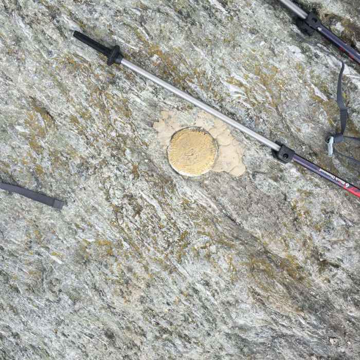
Retrace the same trails back to the trailhead for a round trip of roughly 7.5 miles. The Skyline Trail segment beyond Mount Hunger is closed each spring for mud season, and the Mount Putnam summit itself is unmarked — carry a map or GPS to confirm you've reached the true high point.
No Condition Reports
Waterbury Trail
Waterbury Trail
Stowe Pinnacle
Stowe Pinnacle
White Rock and Mount Hunger Loop
White Rock and Mount Hunger Loop
Mount Putnam via Pinnacle Meadow
Mount Putnam via Pinnacle Meadow
Contributors

