Ready to explore this trail?
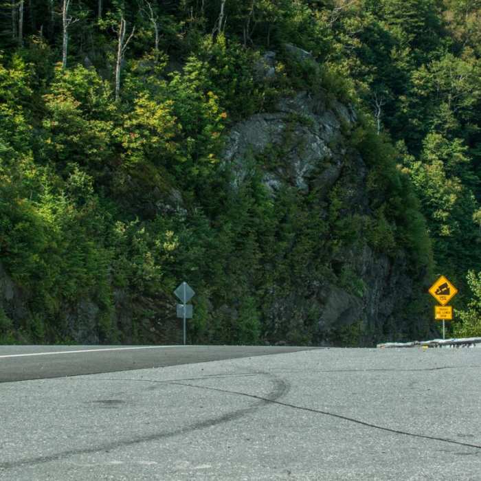
View Trail Map in AppNo permits or fees are required. Free parking is available at Appalachian Gap on Vermont Route 17, which remains open year-round. Space is limited and fills quickly on weekends.
Path Type
There and Back
The route begins and ends at the Appalachian Gap trailhead, after reaching the summit of Mount Ellen by the Long Trail.
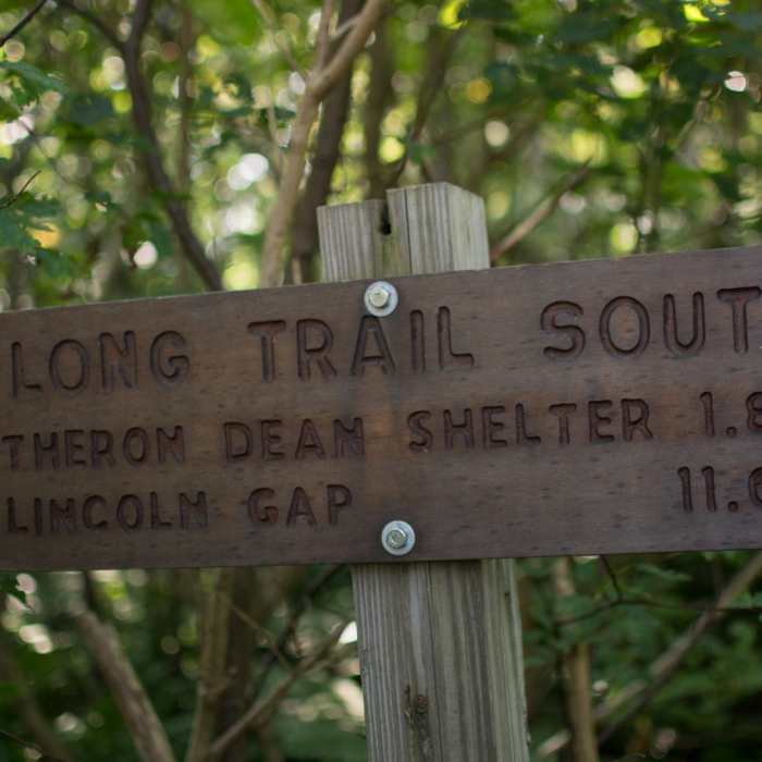
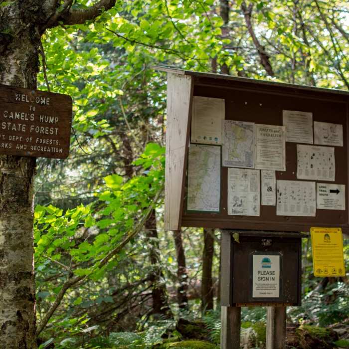
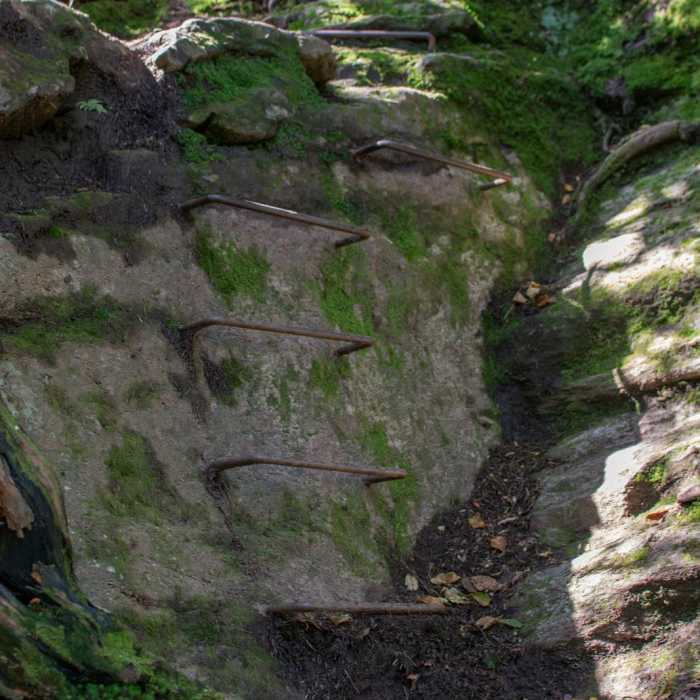
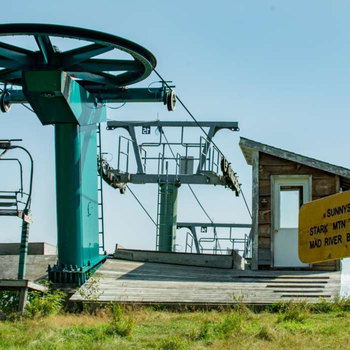
Cross the road south to find the white-blazed Long Trail. Climb south, ascending 2,788 vertical feet over rugged terrain. At 1.4 miles, pass the Theron Dean Shelter and climb a steep rocky section equipped with metal rebar rungs. Around 2.0 miles, pass by the Mad River Glen ski area and Starks Nest warming hut. Follow the ski run briefly, then turn left back into the woods. Reach the summit of Stark Mountain at 2.6 miles.
Descend to the saddle and reach the Barton Trail junction at 2.9 miles; keep right on the Long Trail. On the right at 3.0 miles, pass a short spur trail to Orvis Lookout and the Jerusalem Trail junction. Cross the Sugarbush ski trails near the summit chairlift, then continue to the wooded true summit of Mount Ellen at 4.6 miles.
Retrace your steps to return.
No Condition Reports
Theron Dean Shelter via the Long Trail
Theron Dean Shelter via the Long Trail
The Long Trail (Division 9)
The Long Trail (Division 9)
Mount Ellen via Jerusalem Trail
Mount Ellen via Jerusalem Trail
Burnt Rock Mountain via Hedgehog Brook Trail
Burnt Rock Mountain via Hedgehog Brook Trail
Contributors

