Ready to explore this trail?
View Trail Map in AppRegional Classic
A must do route for the area handpicked by local experts.
No permits or fees are required. Limited roadside parking is available at the trailhead on Jim Dwire Road.
The first portion of the trail crosses private land; hikers must stay on the designated path.
Path Type
There and Back
This route begins and ends at the Jerusalem Trail trailhead, after reaching the summit of Mount Ellen.
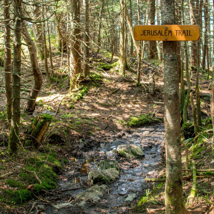
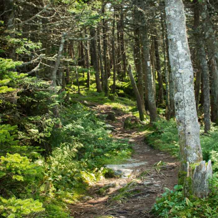
The route starts on a right-of-way through private property before entering the Green Mountain National Forest. Follow the blue-blazed Jerusalem Trail east as it climbs moderately through northern hardwoods.
At 2.2 miles, reach the intersection with the white-blazed Long Trail. Turn right to head south on the Long Trail. At 2.5 miles, pass the Glen Ellen Shelter, which offers a seasonal water source.
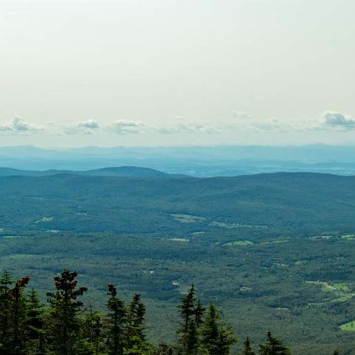
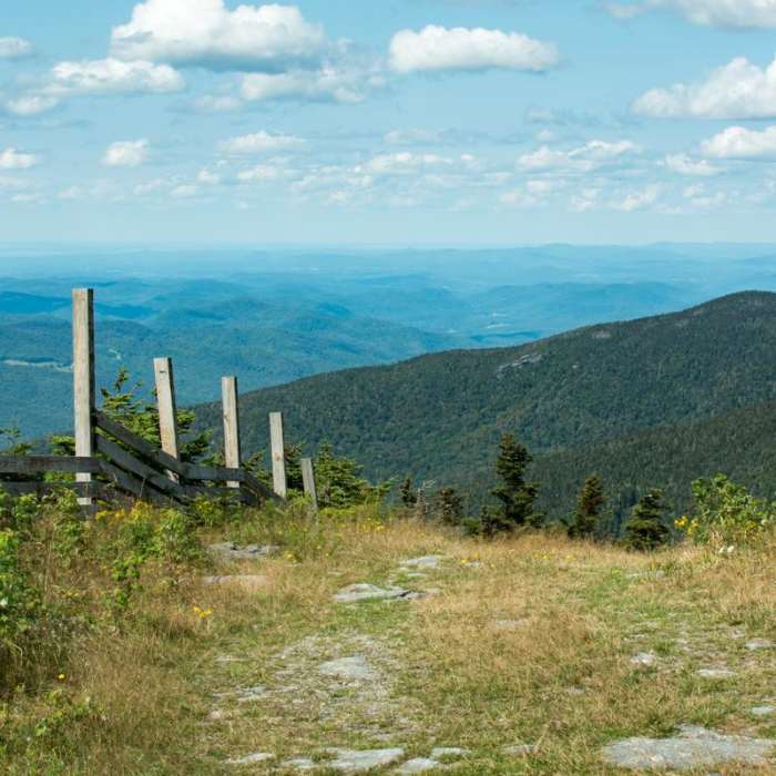
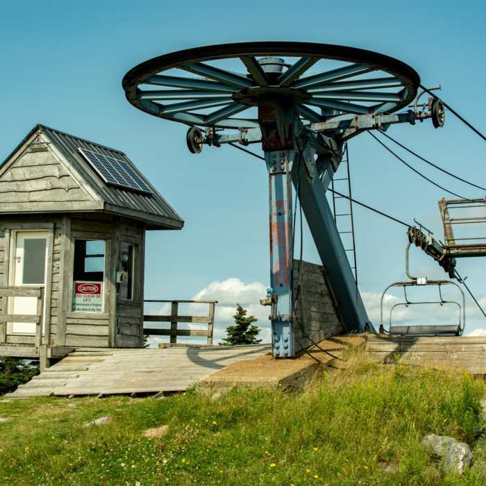
Continue south on the Long Trail, climbing along the ridge. At 3.8 miles, reach the 4,083' summit of Mount Ellen, which features views over the Champlain Valley and the nearby Sugarbush ski area.
Retrace your steps to return to the trailhead.
No Condition Reports
Mount Ellen via Long Trail
Mount Ellen via Long Trail
Theron Dean Shelter via the Long Trail
Theron Dean Shelter via the Long Trail
The Long Trail (Division 9)
The Long Trail (Division 9)
Contributors

