Ready to explore this trail?
View Trail Map in AppNo permit or fee is required to hike here. Parking is limited to a small roadside lot.
Path Type
There and Back
This route starts and ends at the Windsor Trail parking area on Back Mountain Road and climbs steadily toward the summit of Mt. Ascutney.
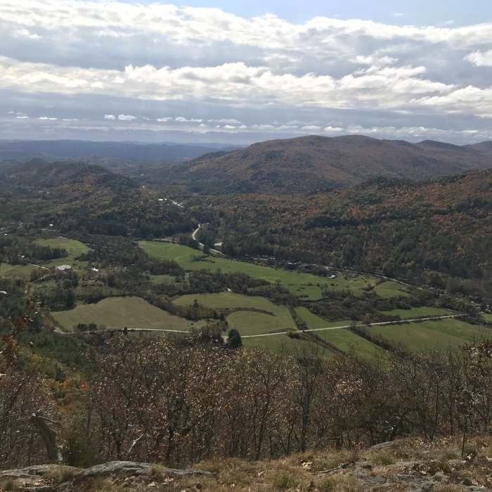
From the parking area, climb a steep, unrelenting grade with good footing and few flat stretches, passing a short spur to Gerry's Falls at 0.8 miles and an old 1968 log shelter and spring at about 1.7 miles. At 2.0 miles, the Futures Trail joins from the left; continue straight, passing a spur to Castle Rock at 2.2 miles, where the Brownsville Trail joins from the right just beyond. Continue on the combined tread past the Stone Hut site to the summit and observation tower at 2.5 miles.
Retrace the same route back down to the trailhead for a round trip of about 5.4 miles, gaining roughly 2,520 vertical feet. This is the shortest and most direct of the summit trails, climbing without switchbacks to ease the grade.
No Condition Reports
Mount Ascutney via Futures Trail
Mount Ascutney via Futures Trail
Mount Ascutney via Weathersfield Trail
Mount Ascutney via Weathersfield Trail
Contributors

