Ready to explore this trail?
View Trail Map in AppRegional Classic
A must do route for the area handpicked by local experts.
No permit or fee is required to hike here. Parking is limited to a small lot off Cascade Falls Road.
Path Type
There and Back
This route starts and ends at the Weathersfield Trail parking area on Cascade Falls Road and climbs steadily toward the summit of Mount Ascutney.
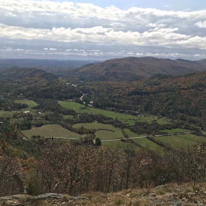
From the parking area, follow the trail past Little Cascade Falls at 0.4 miles and Crystal Cascade, an 84-foot waterfall, at about 1.0 mile. Past the falls, the trail steepens and climbs over a series of stone steps and switchbacks into steeper and rockier terrain. The trail remains well marked, but footing can be uneven and slick in wet weather. Climb moderate-to-steep switchbacks past Gus's Lookout at 2.1 miles and a spur to West Peak, with views toward Mount Monadnock, at about 2.2 miles.
Continue to the summit and observation tower at 2.5 miles. Climb the tower stairs for panoramic views stretching across southern Vermont and into New Hampshire.
Retrace the same route back down through the switchbacks and past the falls to the trailhead for a round trip of about 4.9 miles.
No Condition Reports
Little Ascutney Mountain
Little Ascutney Mountain
Mount Ascutney via Futures Trail
Mount Ascutney via Futures Trail
Mount Ascutney via Windsor Trail
Mount Ascutney via Windsor Trail
Contributors

