Ready to explore this trail?
View Trail Map in AppNo permit or fee is required to hike, but marked resort trail routes and signage can change season to season; confirm current trail names on-site.
Path Type
Loop
This route starts and ends at a parking area near the K-1 Lodge base area off Killington Road.
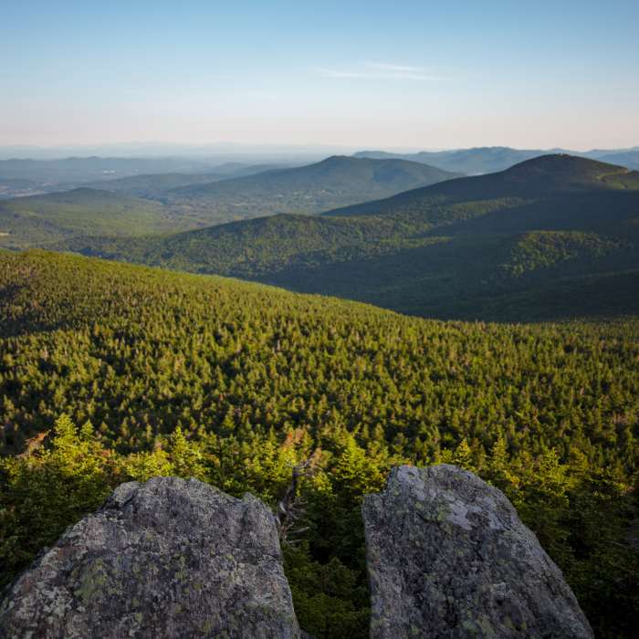
From the parking area, start up Low Rider trail, then Sideshow Bob, continuing straight onto The Great Northern after just 0.2 miles. At 0.5 miles, turn left and continue up The Great Northern until reaching a junction with Ridge Run at 1.6 miles. Take a right and continue up Ridge Run toward the upper mountain. At the top of the Ridge Run lift area, take the spur footpath to Cooper Lodge, at 3,900 feet, the highest shelter on the Long Trail. From Cooper Lodge, follow the K Spur trail, a steep climb over broken rock, to Killington Peak's open, rocky summit at 2 miles.
From the top, descent towards the summit lift and lodge area to reach Off The Top Ski Trail. At 2.8 miles, reach a junction and bear right onto Funny Bone Ski Trail. Continue onwards for 1.1 miles to re-join Off The Top. At this point, bear left and head towards the lower lodge area, taking a small footpath on the left at 4.5 miles to short-cut between ski runs, reaching the base after 5 miles and roughly 1,785 vertical feet of climbing.
No Condition Reports
Pico Peak via Sherburne Pass Trail
Pico Peak via Sherburne Pass Trail
Deer Leap Overlook
Deer Leap Overlook
Killington Peak via Bucklin Trail
Killington Peak via Bucklin Trail
Contributors

