
Near Killington Peak via Bucklin Trail
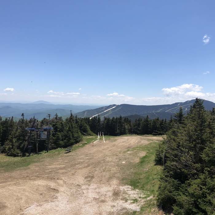
View of Killington from the peak of Pico.
Near Killington Peak via Bucklin Trail
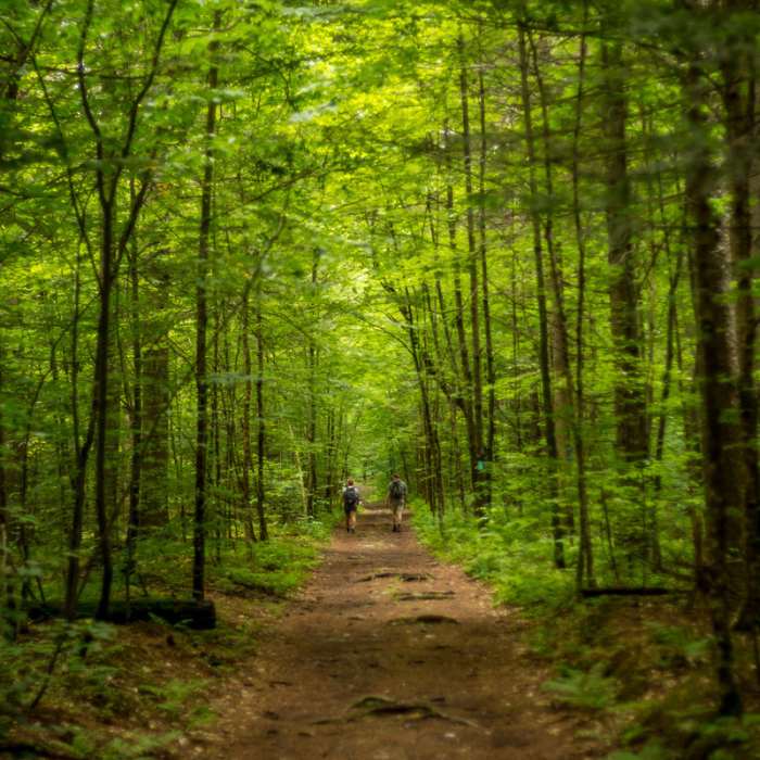
Crossing a bridge over Brewer's Brook on the Bucklin Trail.
Near Killington Peak via Bucklin Trail
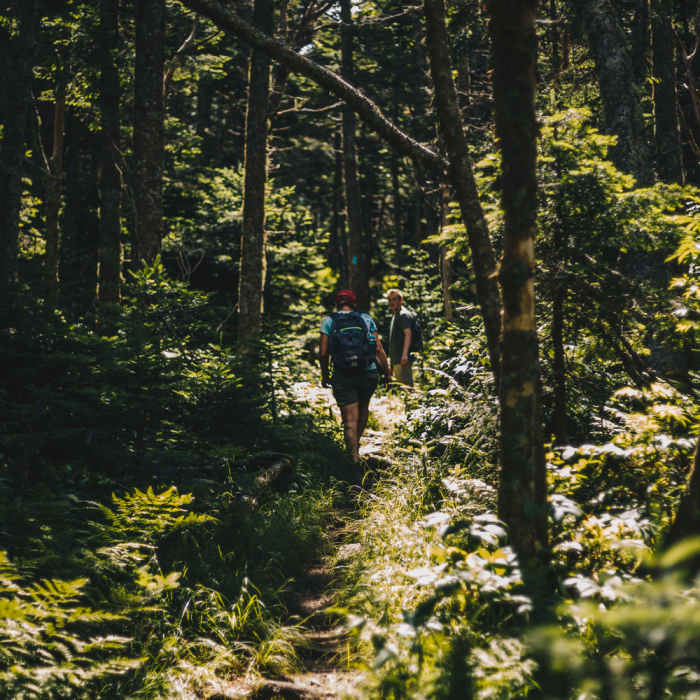
Beginning level section of the Bucklin Trail.
Near Killington Peak via Bucklin Trail
Stretch of the Bucklin Trail near the base of Killington.
Near Killington Peak via Bucklin Trail
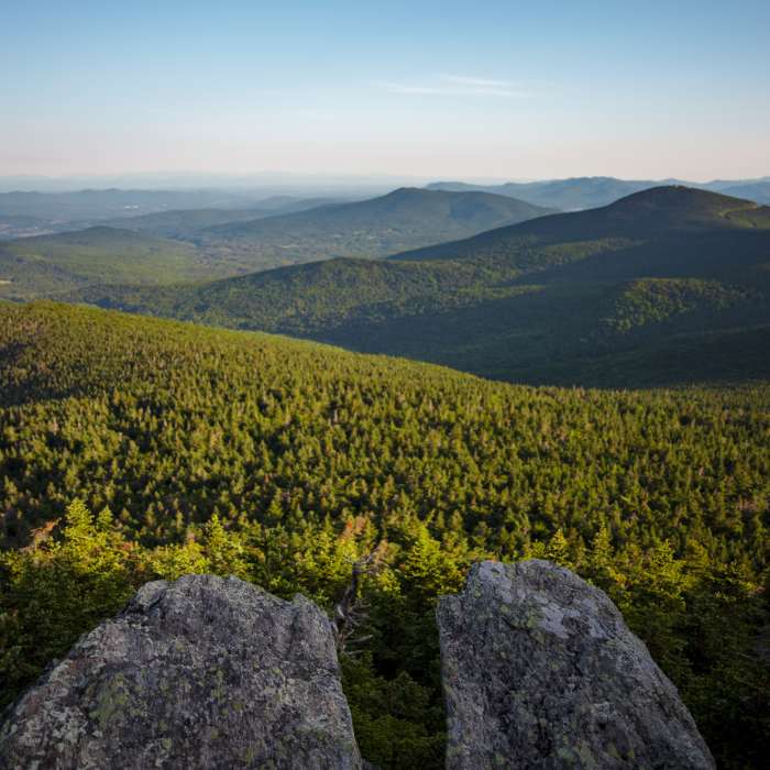
Northwestern view off of Killington Peak.

Looking for more photos?

View All Photos
View Map
Driving Directions
Classic Hike Route
Buy NowView in 3D

Killington Peak via Bucklin Trail

4.9 (7 Ratings)
A steady climb up an old logging-road grade to Vermont's second-highest summit, finishing with a short, steep scramble to an open, rocky top beside the Long Trail.
7.3
mi
Distance
2,493
ft
Gain
strenuous
Difficulty
Regional Classic
A must do route for the area handpicked by local experts.
Dogs AllowedFall ColorsRiver/CreekSpringViews
Access Issues
No permit or fee is required. Do not block the private gate on the old Killington Carriage Road at Brewers Corners.

Route Details

Flatter
Steeper
7.29mi
Distance
2,493ft
Elevation Gain
2,493ft
Elevation Loss
45%
Max Grade
4,228ft
High Point
1,788ft
Low Point
Path Type
There and Back
Description
This route starts and ends at the Bucklin Trail parking area on Wheelerville Road at Brewers Corners, in Mendon. From the parking area, follow the Bucklin Trail east on an old logging-road grade, climbing gradually alongside Brewers Brook. At 2.0 miles, the grade steepens through hardwood forest. At 3.3 miles, turn right (south) onto the Long Trail/Appalachian Trail, passing Cooper Lodge, at 3,900 feet, the highest shelter on the Long Trail. Continue to the base of the final summit spur, an extremely steep 0.2-mile climb that requires some scrambling over rock, gaining the last stretch to Killington Peak's open, rocky top at 3.6 miles. Retrace the same route back down the spur, the Long Trail, and Bucklin Trail to the trailhead for a round trip of about 7.3 miles, gaining roughly 2,493 vertical feet.

Route Conditions

Report Conditions
No Condition Reports
Report Conditions

Nearby Hike Routes

Bald Mountain (Rutland)

Hike Route

Bald Mountain (Rutland)

easy
3.05 mi
+856 ft
The Long Trail (Division 6)

Classic Hike Route

The Long Trail (Division 6)

Birding
moderate
19.55 mi
+3,600 ft
Killington Resort Trail Loop

Hike Route

Killington Resort Trail Loop

Dogs Allowed
strenuous
5.03 mi
+1,785 ft
Pico Peak via Sherburne Pass Trail

Hike Route

Pico Peak via Sherburne Pass Trail

Birding
strenuous
5.41 mi
+1,804 ft
Sherburne Loop

Hike Route

Sherburne Loop

strenuous
7.18 mi
+1,865 ft
Deer Leap Overlook

Hike Route

Deer Leap Overlook

Birding
moderate
1.87 mi
+561 ft
Contributors
onX Maps, Inc
