Ready to explore this trail?
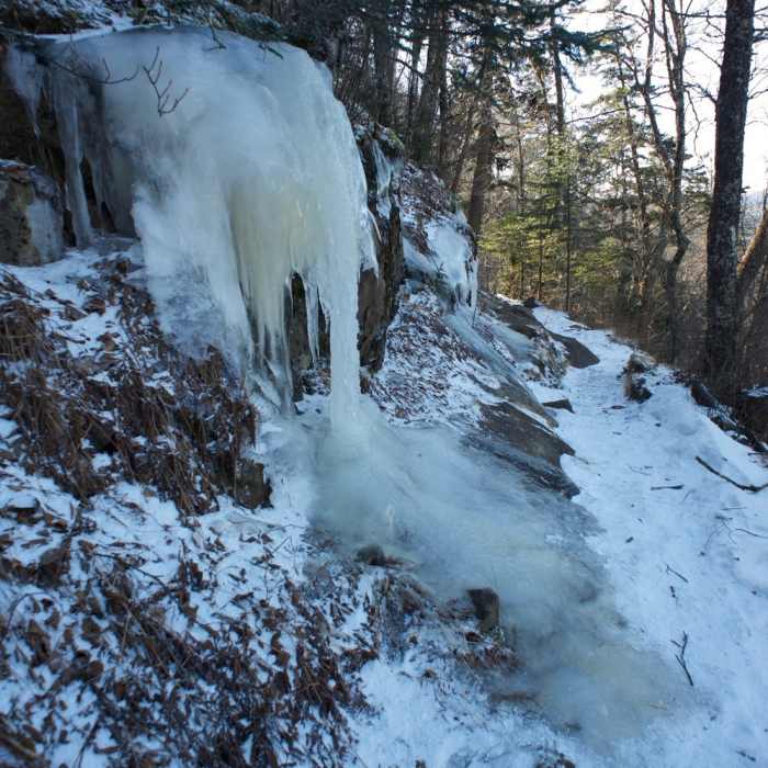
View Trail Map in AppClosed if Newfound Gap Road (US HWY 441 between Gatlinburg TN - Cherokee NC) is closed due to snow and ice. Newfound Gap Road information can be found at twitter.com/smokiesroadsnps or by calling (865) 436-1200 and dialing extension 2, 2.
Path Type
Point to Point
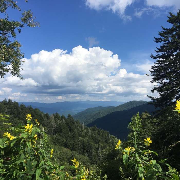
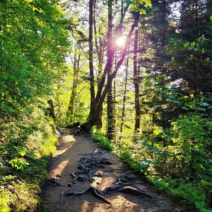
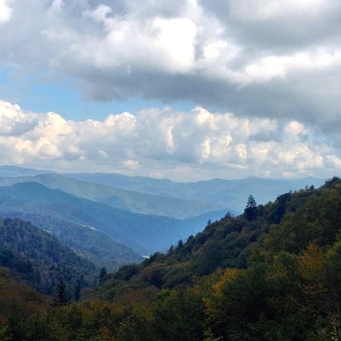
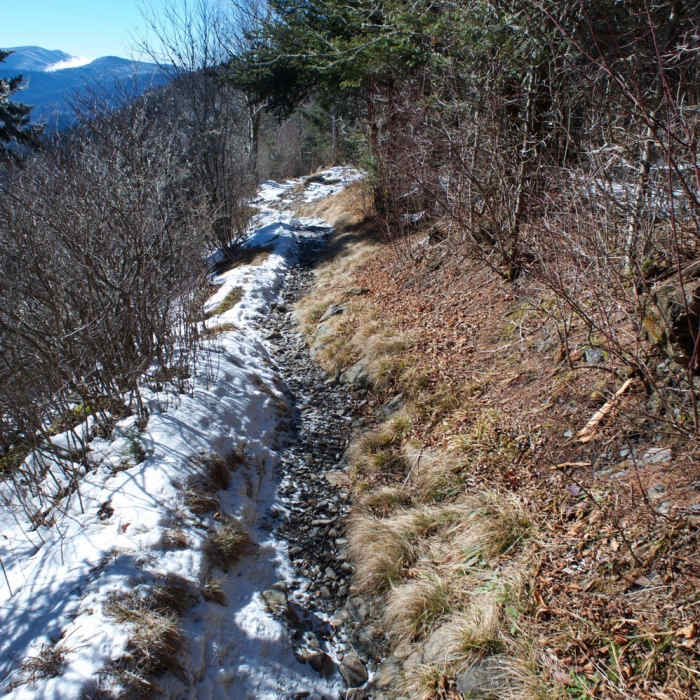
The hike to Charlie's Bunion, a rock outcropping that is filled with beautiful panoramic views, starts at the Newfound Gap parking lot in Great Smoky Mountains National Park. If you are looking for a traditional Great Smoky Mountain National Park hike that is less crowded than many of the most popular hikes, then this is the perfect trail. It contains stunning panoramas, old-growth forest, wildlife (be on the lookout for bears), and beautiful fields of wildflowers during the spring and early summer months. This is a trail well worth doing on any visit to the Smoky Mountains. The hike travels along the Appalachian Trail for about 4 miles until reaching Charlie's Bunion. It requires a steady uphill climb for the first 2 miles and slightly evens out after the halfway point. The uphill trek is very worthwhile. The next 2 miles of the hike traverse along the spine of the mountain, which has grand views of Tennessee to the east and North Carolina to the west. Approximately 2.7 miles into the hike a spur trail toward Mount LeConte appears. Taking the fork to the right will keep you on track for Charlie's Bunion. A quarter mile past this trail spur is the Icewater Spring Shelter. The aptly named shelter contains a water source from a natural spring, but keep in mind that this water should be treated and purified before consuming. After 3.9 miles of hiking, another short spur in the trail appears. Stay left to reach the destination. Charlie's Bunion received its name when two hikers hiked to the rock outcropping, Charlie Conner and Horace Kephart, who were early proponents of creating Great Smoky Mountain National Park. As Charlie sat on the rocks, he removed his boots and socks to reveal a bunion on his foot that resembled the rocks they were sitting on. Horace told Charlie, "One day, I'm going to get this place put on a government map for you." The Newfound Gap parking lot is often very crowded because of the popularity of the Newfound Gap Overlook, which provides views of both the Tennessee and North Carolina regions of the mountains. However, the congestion of the parking lot does not correlate with the congestion of the hike to Charlie's Bunion, which typically contains scarce crowds of hikers.
This part of the Appalachian Trail (AT) was built in the fall of 1932. The work was done by a crew using pick axes and shovels between the months of September 5 and October 6.Charlie's Bunion is the result of human actions and nature. In the 1920s, the area was heavily logged and the lumber companies left piles of brush scattered all over the area. A massive forest fire in 1925 blazed up Kephart Prong and crossed the Sawteeth Mountains into TN. The fire was so hot that it rendered the soil sterile, making it so nothing would grow. When a torrential rain storm hit in 1929, it washed away a lot of the soil, leaving behind the geologic formation that would be known as Charlie's Bunion.Legend has it that Horace Kephart named it "Charlie's Bunion" after seeing mountain guide Charlie Corner's badly swollen foot during a trip to inspect the damage from the storm.
No Condition Reports
Mount LeConte via Trillium Gap + Boulevard Trail
Mount LeConte via Trillium Gap + Boulevard Trail
The Jump Off via The Appalachian Trail
The Jump Off via The Appalachian Trail
Alum Cave
Alum Cave
Mount LeConte via Alum Cave Trail
Mount LeConte via Alum Cave Trail
Chimney Tops Trail
Chimney Tops Trail
Great Smoky Mountains Peak Loop
Great Smoky Mountains Peak Loop
Contributors

