
Ready to explore this trail?
View Trail Map in AppPath Type
There and Back
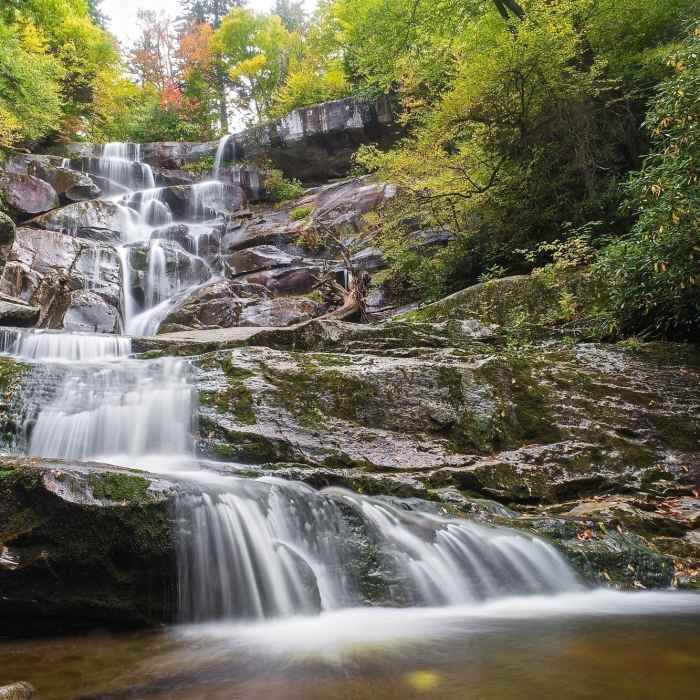
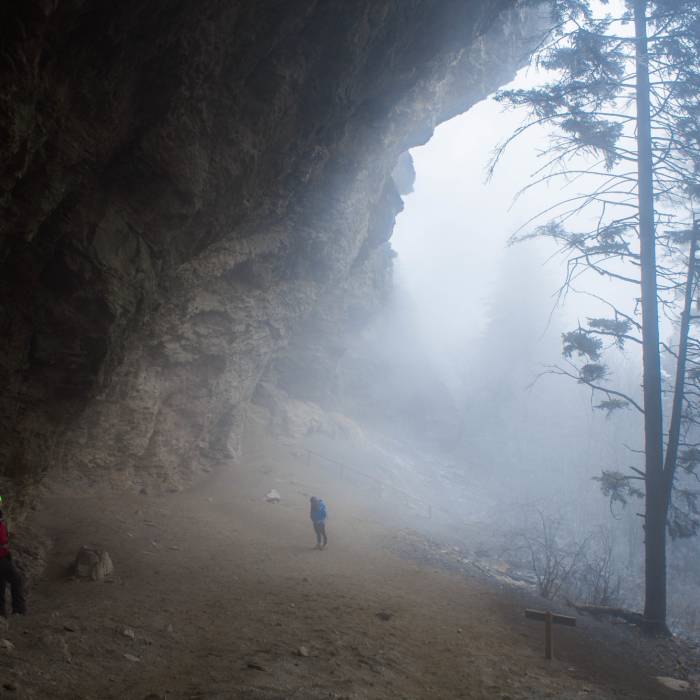
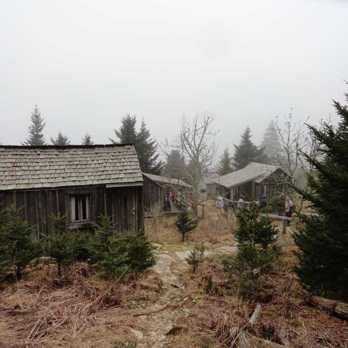
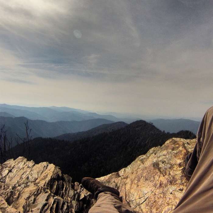
Alum Cave Trail starts out fairly easy and gradual, running parallel to Alum Cave Creek for about a mile. It then switches on to Styx Branch, eventually leading to Arch Rock. Arch Rock was formed by the freezing and thawing of water, causing the softer rock under the arch to be eroded away. Make your way across the bridge and up the steps that go through the arch.Continue on the trail for less than a mile, and you'll reach inspiration point, which boasts amazing views of Little Duck Hawk Ridge to the west, and Myrtle Point on Mt. LeConte towards the northeast. On a nice day, you may be able to see The Eye of the Needle, a hole atop Little Duck Hawk Ridge. Continue on the trail until about 2.2 miles from the trailhead, and you'll encounter Alum Cave, for which the trail is named. Alum Cave is actually not a cave, but a bluff named after the the Alum deposits found on the walls of the "cave." The ground here can be fairly loose and slippery, especially during periods of rain. Also, be cautious of falling icicles from the top of the bluff. Follow along the walls of the bluff and follow the sign to continue on the trail. At approximately 2.6 miles, you'll reach Gracie's Pulpit, which marks the halfway point of the trail.Continuing on, you'll pass through ledges with cable hand holds. Certain parts have small waterfalls that can become icy and slippery during colder seasons so be careful on the ledges! The last ledge passes just under Cliff Top, and the trail ends at Rainbow Falls Trail.For the best views of the Smokies from the lodge, check out Myrtle Point and Cliff Top. Myrtle Point offers nearly 360-degree views, and Cliff Top offers the best views of the sunset.
Some Issues
All Clear
All Clear
All Clear
Looking for more condition reports?
Alum Cave
Alum Cave
Chimney Tops Trail
Chimney Tops Trail
Great Smoky Mountains Peak Loop
Great Smoky Mountains Peak Loop
Mount LeConte via Trillium Gap + Boulevard Trail
Mount LeConte via Trillium Gap + Boulevard Trail
The Jump Off via The Appalachian Trail
The Jump Off via The Appalachian Trail
Charlie's Bunion
Charlie's Bunion
Contributors

