Ready to explore this trail?
View Trail Map in AppA free, self-issued wilderness permit is required for entry into the Black Elk Wilderness, available at the trailhead. Parking at the Horsethief Lake Day Use Area requires a day-use fee or a valid interagency recreation pass.
Path Type
Loop
This 14.6-mile route begins and ends at the Horsethief Lake Trailhead.
Start on Horsethief Lake Trail #14, heading south. At 0.7 miles, keep right to continue on Horsethief Lake Trail #14. At 0.8 miles, pass by Centennial Trail #89 on the right, continuing straight on Horsethief Lake Trail #14.
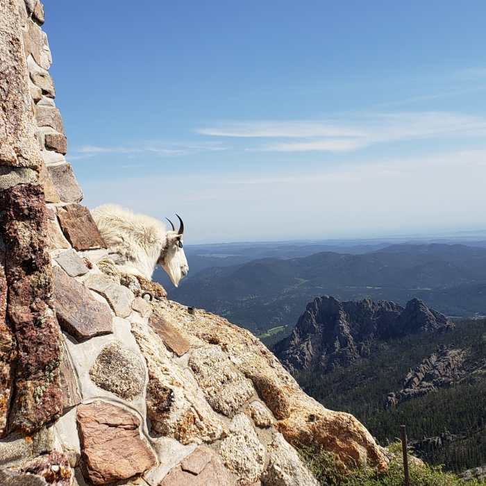
At 2.7 miles, turn right onto Grizzly #7 Trail. Follow this trail as it climbs through several switchbacks, gaining approximately 1,500 vertical feet. At 5.6 miles, turn right onto Norbeck Trail #3. At 6.0 miles, turn right to head north on the Black Elk Peak #9 Trail. At 6.3 miles, turn left onto spur trail leading to the summit of Black Elk Peak, where the stone lookout tower sits at 7,242 feet.
To return, descend the spur and turn left onto Harney Peak Trail #9 (North), dropping steeply down rocky terrain. At 9.9 miles, turn right onto the Willow Creek-Rushmore Trail #5, following the trail to the right, around 10.1 miles. Follow this gentle grade along the highway. At 11.6 miles, turn right to head south on Centennial Trail #89.
At the final junction, around 13.7 miles, turn left onto Horsethief Lake Trail #14 to return to the trailhead.
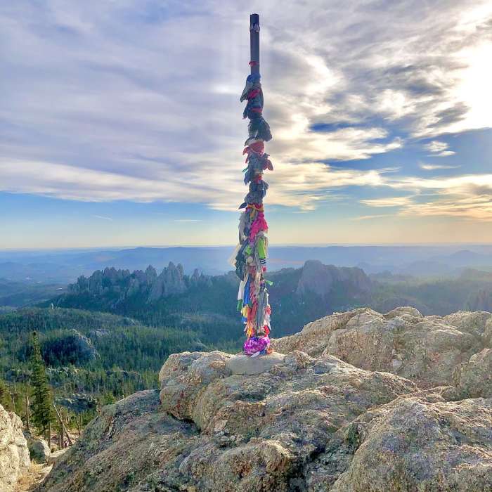
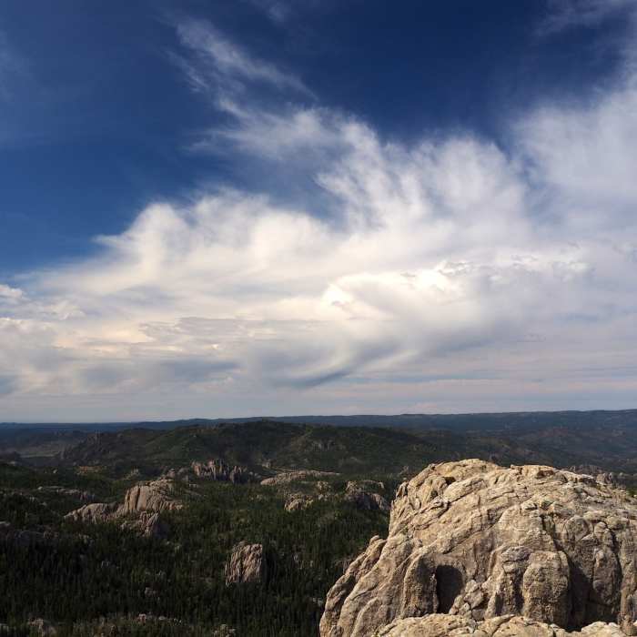
The granite peak is scared ground for Native Americans. In 2016 its name was changed from Harney Peak to Black Elk Peak, and the fire lookout building made of stone with spectacular views still sits. This is the highest point in South Dakota at at 7242 feet.
Some Issues
All Clear
Looking for more condition reports?
Horsethief Lake Loop
Horsethief Lake Loop
Presidential Trail
Presidential Trail
Black Elk Peak via Willow Creek
Black Elk Peak via Willow Creek
Black Elk Peak
Black Elk Peak
Black Elk Peak Loop
Black Elk Peak Loop
Contributors

