Ready to explore this trail?
View Trail Map in AppRegional Classic
A must do route for the area handpicked by local experts.
A South Dakota State Parks entrance license is required to enter Custer State Park and park at Sylvan Lake. A free, self-issued registration permit is required at the Black Elk Wilderness boundary.
Path Type
There and Back
This route begins and ends at the Black Elk Peak Trailhead near the Sylvan Lake Day Use Area, after reaching the summit of Black Elk Peak.
From the trailhead, follow Trail #9, marked with blue diamond blazes. The trail travels northeast, climbing gradually through a ponderosa pine and spruce forest. At 0.7 miles, reach the intersection with Lost Cabin Trail on the left; keep right to continue along the trail as it turns southeast.
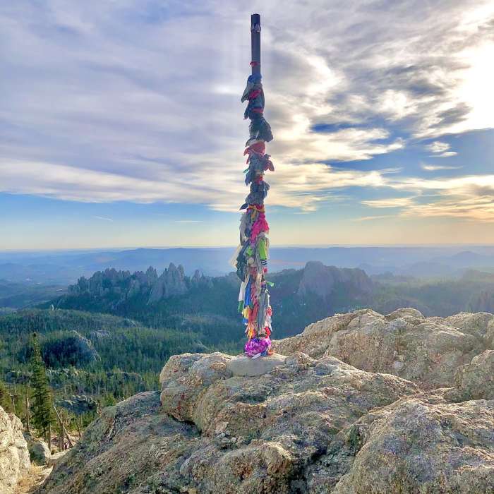
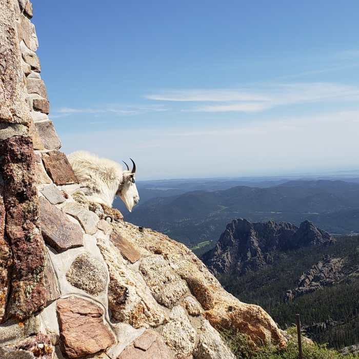
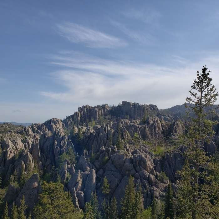
At 1.7 miles, enter the Black Elk Wilderness. The trail becomes steeper and rockier as it approaches the granite high country. At 2.7 miles, keep straight on Trail #9, passing by Norbeck Trail #3 on the right. At 3.0 miles, navigate the final junction where Trail #9 meets Trail #4, keeping left to head toward the summit. Follow the stone steps and metal walkways to the historic stone fire tower atop Black Elk Peak at 3.3 miles.
Retrace your steps to return to the trailhead.
No Condition Reports
Black Elk Peak Loop
Black Elk Peak Loop
Black Elk Peak via Willow Creek
Black Elk Peak via Willow Creek
Horsethief Lake Loop
Horsethief Lake Loop
Black Elk Peak Loop
Black Elk Peak Loop
Presidential Trail
Presidential Trail
Contributors

