


Ready to explore this trail?
View Trail Map in AppOld Salmon River Trail #742A is open nearly year round as low elevation is mostly snow free. A Northwest Forest Trail Pass or other viable parking pass is required whenever there is a portable toilet installed at the trailhead. They are available at the Zigzag Ranger District and several local vendors.
Path Type
Point to Point
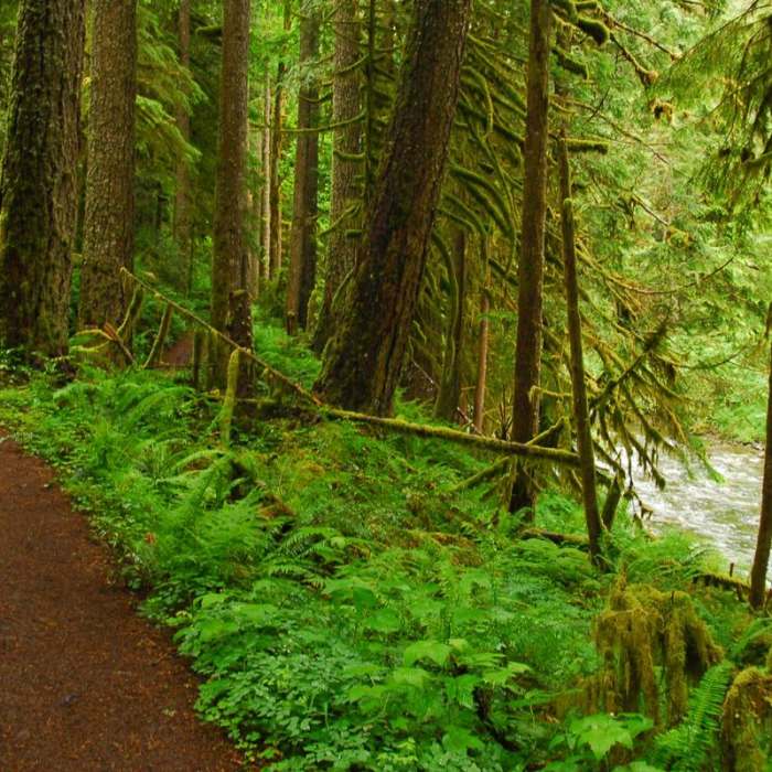
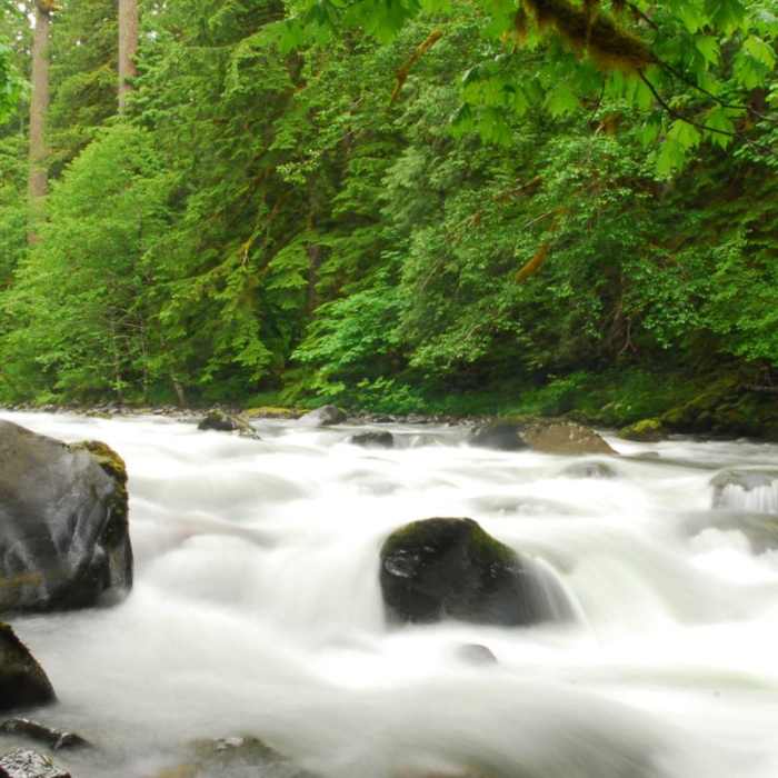
Of all of the old-growth forests here in Oregon, few rival the majesty and health of the forest surrounding the Old Salmon River Trail. The Douglas firs and western red cedars in this forest must be among the tallest in the state. The moss-filled forest is accessible year round, as well. We love this hike, and you can extend it by continuing onto the Salmon River Canyon Trail. The Green Canyon Campground provides options for designated campsites, but the trail also boasts more than 15 backcountry campsites for those who prefer to hike in. Check our map to find the best option for you. Attention!: The Forest Service is considering closing the Salmon River to all camping outside the Green Canyon Campground due to excessive tree damage, trampled plants, and the high volume of garbage, human waste, and toilet paper left at the backcountry campsites. They simply do not have the budget to maintain the area given these challenges. If you want to continue to camp alongside the river, pack out all garbage and toilet paper and dispose of it properly, bury your feces six inches down and more than 100 feet from river, bring your own firewood and stay on established paths. Using the area responsibly will increase the chance that visitors will be allowed to continue enjoying the land.
No Condition Reports
Salmon River, West Canyon Trail
Salmon River, West Canyon Trail
Flag Mountain Trail #766
Flag Mountain Trail #766
Hunchback Mountain
Hunchback Mountain
Still Creek Trail #780
Still Creek Trail #780
Huckleberry Mountain via Boulder Ridge
Huckleberry Mountain via Boulder Ridge
Wildcat Mountain via Douglas Trail
Wildcat Mountain via Douglas Trail
Contributors

