

Ready to explore this trail?
View Trail Map in AppFlag Mountain Trail is open most of the year since it is under 2,500 feet in elevation.
Path Type
Point to Point
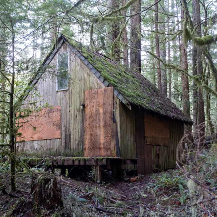
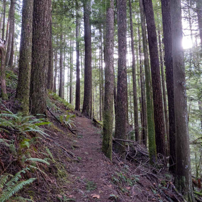
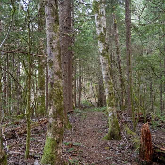
Flag Mountain is located just outside the small town of Rhododendron near Mount Hood. This 3.8 mile (round trip) trail leads hikers and mountain bikers across the ridge of Flag Mountain, providing a good view of Mount Hood about halfway in, and an even better workout.The trail begins off Forest Service Road 20-E. There is a tiny trailhead with enough parking for just a couple vehicles. The trail passes by an abandoned cabin before climbing very steeply as it switchbacks up the Northwestern side of Flag Mountain. These steep switchbacks continue for about half a mile until you reach a small rock outcropping. An easy scramble up the rocks provides a view of next door Hunchback Mountain.The trail then continues to climb (although thankfully a little less steeply) until it reaches the ridge. You'll soon come to a bit of a viewpoint where the very top of Mount Hood is visible. Continue onward. At around the 1 mile mark you'll reach the main viewpoint where you'll find an excellent view of Mount Hood and the Zigzag river valley.The remainder of the trail traverses the mostly viewless ridge of Flag Mountain, including the true summit, until descending to the trail's end. Unless desiring to further explore, I'd recommend turning around at the main viewpoint. Doing so cuts the total distance approximately in half.
No Condition Reports
Salmon River, Old Trail
Salmon River, Old Trail
Still Creek Trail #780
Still Creek Trail #780
Hunchback Mountain
Hunchback Mountain
Salmon River, West Canyon Trail
Salmon River, West Canyon Trail
Huckleberry Mountain via Boulder Ridge
Huckleberry Mountain via Boulder Ridge
Zig Zag Mountain via the Horseshoe Ridge Trail
Zig Zag Mountain via the Horseshoe Ridge Trail
Contributors

