Ready to explore this trail?
View Trail Map in AppRegional Classic
A must do route for the area handpicked by local experts.
No permit is required. The first 2.3 miles cross private land, so stay on the trail. The trail closes during fall big game hunting season.
Path Type
There and Back
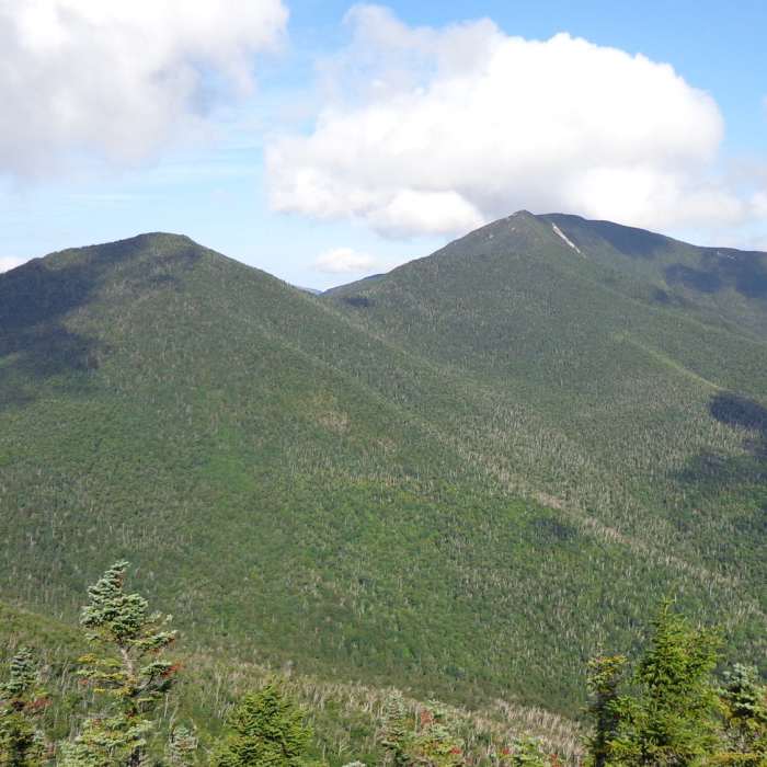
The route starts and ends at the Elk Lake Trailhead and reaches the summit of South Dix (4,060'), about 9 miles round trip, by way of Macomb Mountain (4,405').
From the register, follow the red-disc marked trail north 2.2 miles on gently rolling terrain to the Slide Brook Lean-to and campsites, crossing Little Sally and Big Sally Brooks. Cross Slide Brook, turn right, and pass the campsite on its right to find the unmarked herd path. Follow it through the woods above Slide Brook 1.3 miles to the Macomb Slide. Route-finding begins here.
Turn right onto the slide and climb about 500 vertical feet of steep, loose rubble in 0.15 mile, then re-enter the woods and scramble to Macomb's summit at 3.8 miles. Follow the herd path northeast and descend about 600 vertical feet to the col. Keep right at the Lillian Brook herd path junction and climb three bare-rock outcroppings, staying right and following cairns, to South Dix's summit at 4.5 miles.
Return the same way. Descend the slide slowly; rubble shifts underfoot and rockfall is common. Carry a map and compass.
No Condition Reports
Dix Mountain
Dix Mountain
The Wolfjaws
The Wolfjaws
Grace Peak
Grace Peak
Rocky Peak Ridge and Giant Mountain Out and Back
Rocky Peak Ridge and Giant Mountain Out and Back
Giant's Nubble Out and Back
Giant's Nubble Out and Back
Contributors

