
Ready to explore this trail?
View Trail Map in AppRegional Classic
A must do route for the area handpicked by local experts.
The trail is closed during northern zone big game season. Afterward, park at the Clear Pond Gate lot 2 miles back, adding 4 miles round trip.
Path Type
There and Back
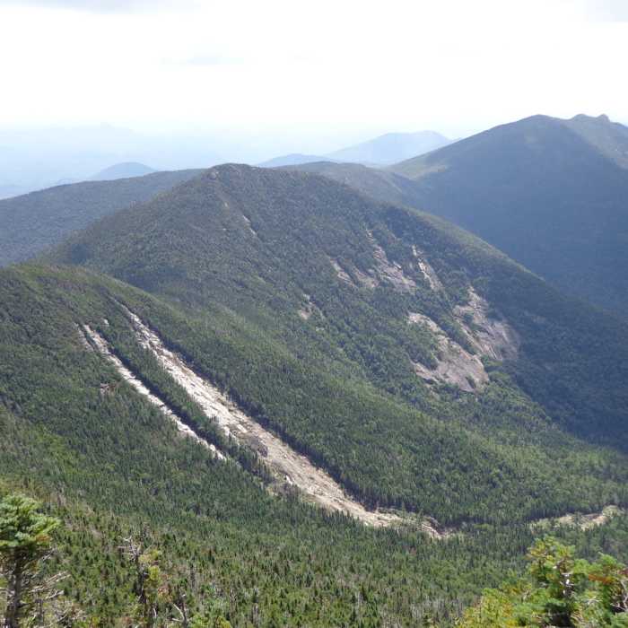
The route starts and ends at the Elk Lake lot and reaches the summit of Dix Mountain (4,857'), 6.2 miles one way with about 3,700 vertical feet of climbing round trip.
Sign the register and follow the red-disc marked Hunters Pass Trail north on gentle, rolling terrain, passing the Slide Brook Lean-to at 2 miles and the Lillian Brook Lean-to at 3.5 miles. Pass Dix Pond and, at the fork at 4.2 miles, turn right onto the yellow-disc marked Beckhorn Trail. Climb steeply for around 1.8 miles, about 2,200 vertical feet, over rocky tread and bare rock to the Beckhorn, a large outcrop on the crest. Turn north along the narrow ridge to Dix's summit. The upper mountain is steep and exposed, with rock slab that ices over from late fall through spring. Stay on bare rock to protect the alpine vegetation.
Retrace your steps, descending carefully on the Beckhorn.
No Condition Reports
South Dix
South Dix
Hough Peak Loop
Hough Peak Loop
Macomb Mountain
Macomb Mountain
Boreas Mountain
Boreas Mountain
North River Mountains Peak
North River Mountains Peak
Contributors

