

Ready to explore this trail?
View Trail Map in AppNo permit or fee is required. The monument closes during off-hours or high winds. Use caution crossing Route 23 at 0.5 miles, where the trail resumes across the road.
Path Type
Loop
This route starts and ends at the Appalachian Trail parking lot in High Point State Park, covering about 8 miles with roughly 1,000 vertical feet of gain.
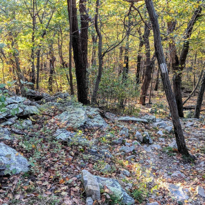
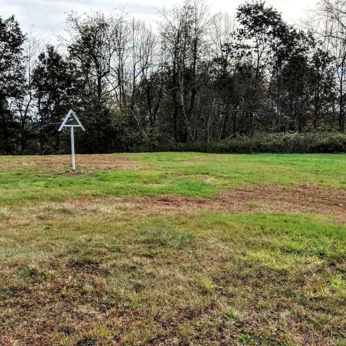
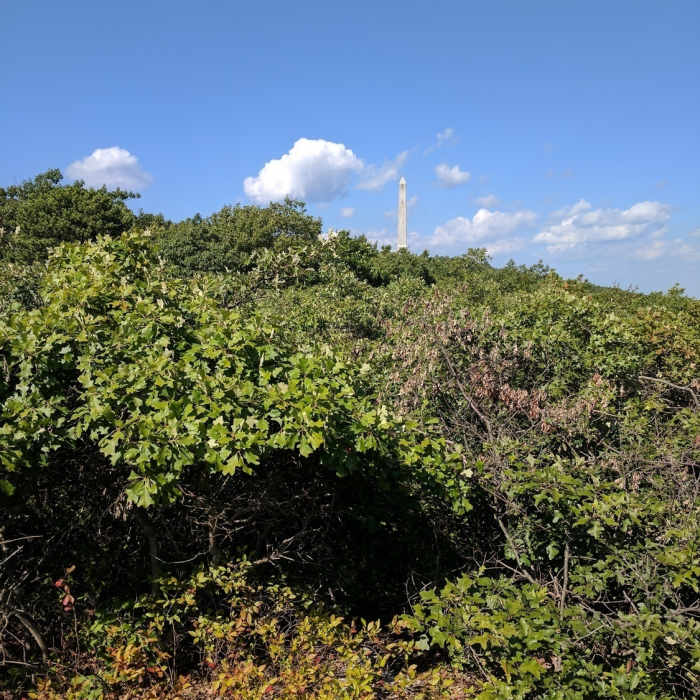
From the parking lot, follow the AT Connector Trail and Iris Trail to the Appalachian Trail, heading north. At about 0.5 miles, the AT crosses Route 23; look for a wooden AT marker staked in the grass on the far side to find where the trail resumes. Continue on the AT to 1.8 miles, then continue straight onto Monument Trail, climbing a steep incline to High Point Monument, a 1920s war memorial with 360-degree views into New Jersey, Pennsylvania, New York, and the Catskills; the monument is open to climb 220 feet to its viewing room when conditions allow.
Continue on Monument Trail, mostly level, to 4.2 miles, where a signed spur leads onto the Cedar Swamp Trail loop. This wide, level path crosses a rare Atlantic white cedar swamp on a boardwalk, believed to be the highest-elevation stand of this typically coastal species in the world. After completing the loop, continue on Monument Trail back to the Appalachian Trail, passing through spruce-pine forest with occasional western views and a small creek crossing.
Return by retracing the Appalachian Trail to the parking lot.
No Condition Reports
Appalachian - Iris Trail Loop
Appalachian - Iris Trail Loop
High Point Monument Trail
High Point Monument Trail
Monument Trail
Monument Trail
Appalachian Trail - Stokes S.F. North
Appalachian Trail - Stokes S.F. North
Lenape Ridge Trail
Lenape Ridge Trail
Shawangunk Ridge Trail: Huckleberry Ridge Section
Shawangunk Ridge Trail: Huckleberry Ridge Section
Contributors

