
Near Mount Kearsarge via Rollins Trail
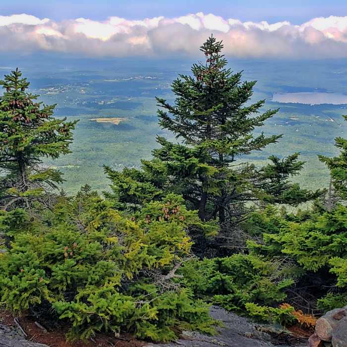
view from Winslow Trail, Pleasant Lake on right
Near Mount Kearsarge via Rollins Trail
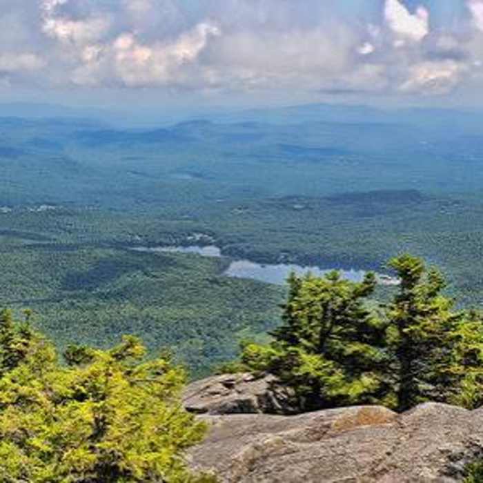
View from the peak at the Kearsarge fire tower
Near Mount Kearsarge via Rollins Trail
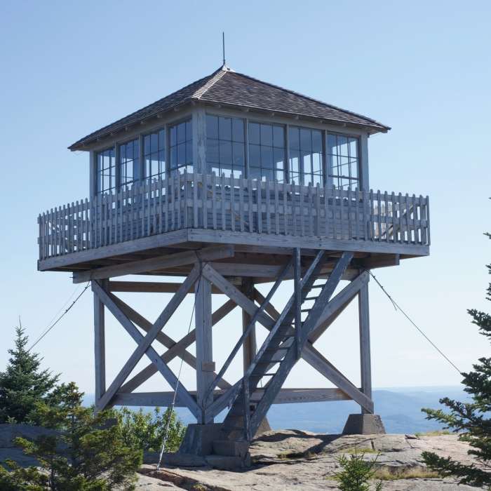
The fire tower at the top of Mount Kearsarge. You can sleep here if you are overnighting, or just use it as a space place to escape the wind.
Near Mount Kearsarge via Rollins Trail

Looking for more photos?

View All Photos
View Map
Driving Directions
Classic Hike Route
Buy NowView in 3D

Mount Kearsarge via Rollins Trail

3.8 (5 Ratings)
The shortest and most gradual route to the Mount Kearsarge summit, following an old carriage road from the Rollins State Park picnic area.
1.1
mi
Distance
350
ft
Gain
moderate
Difficulty
Regional Classic
A must do route for the area handpicked by local experts.
Dogs AllowedFamily FriendlyViews
Access Issues
A reservation and day-use fee are required at Rollins State Park ($4 Adults, $2 Kids). The access road and toll gate close seasonally in winter. Open mid-May through mid-October.

Route Details

Flatter
Steeper
1.06mi
Distance
350ft
Elevation Gain
350ft
Elevation Loss
30%
Max Grade
2,933ft
High Point
2,581ft
Low Point
Path Type
There and Back
Description
The route starts and ends at the Rollins State Park Trailhead at the end of the park's auto road. From the trailhead, follow the Rollins Trail north from the picnic area on a crushed-gravel path, crossing several small bridges before climbing at easy to moderate grades along an old carriage road. Most of the elevation gain comes in the first 0.35 miles. Reach the junction with the Lincoln Trail just below the summit at approximately 0.5 miles, then continue a short distance to the fire-tower summit, having gained roughly 300 vertical feet. Retrace the Rollins Trail to return.

Route Conditions

Report Conditions
No Condition Reports
Report Conditions

Nearby Hike Routes

Mount Kearsarge via Winslow Trail and Barlow Trail

Classic Hike Route

Mount Kearsarge via Winslow Trail and Barlow Trail

Dogs Allowed
strenuous
2.43 mi
+1,103 ft
Mount Kearsarge via Lincoln Trail

Hike Route

Mount Kearsarge via Lincoln Trail

Dogs Allowed
strenuous
7.63 mi
+2,185 ft
Low Plain Loop

Hike Route

Low Plain Loop

easy
2.67 mi
+108 ft
Chandler Reservation Loop

Hike Route

Chandler Reservation Loop

moderate
3.73 mi
+1,034 ft
Clark Pond Loop

Hike Route

Clark Pond Loop

easy
1.55 mi
+71 ft
Great Brook and Morgan Hill Loop

Hike Route

Great Brook and Morgan Hill Loop

moderate
4.75 mi
+947 ft
Contributors
onX Maps, Inc
