Ready to explore this trail?
View Trail Map in AppNo permit is required for day use, but the trail crosses privately managed forestland where active logging operations may require a temporary reroute; check current conditions before starting.
Path Type
There and Back
The route starts and ends at the Sunapee-Ragged-Kearsarge Trailhead on Kearsarge Valley Road in Wilmot.
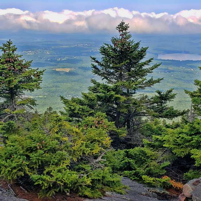
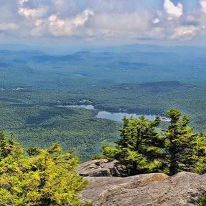
From the trailhead, follow the Lincoln Trail northeast through the Society for the Protection of New Hampshire Forests' Black Mountain Forest Reservation. At approximately 1.4 miles, a 0.15-mile spur on the right leads to an overlook with views west toward New London Ridge and Pleasant Lake.
Continue on the main trail as it climbs over the shoulder of Black Mountain and drops into a fern-filled col between Black Mountain and Mount Kearsarge. At approximately 3.4 miles, reach the Rollins State Park picnic area, where the Rollins Trail joins from the right.
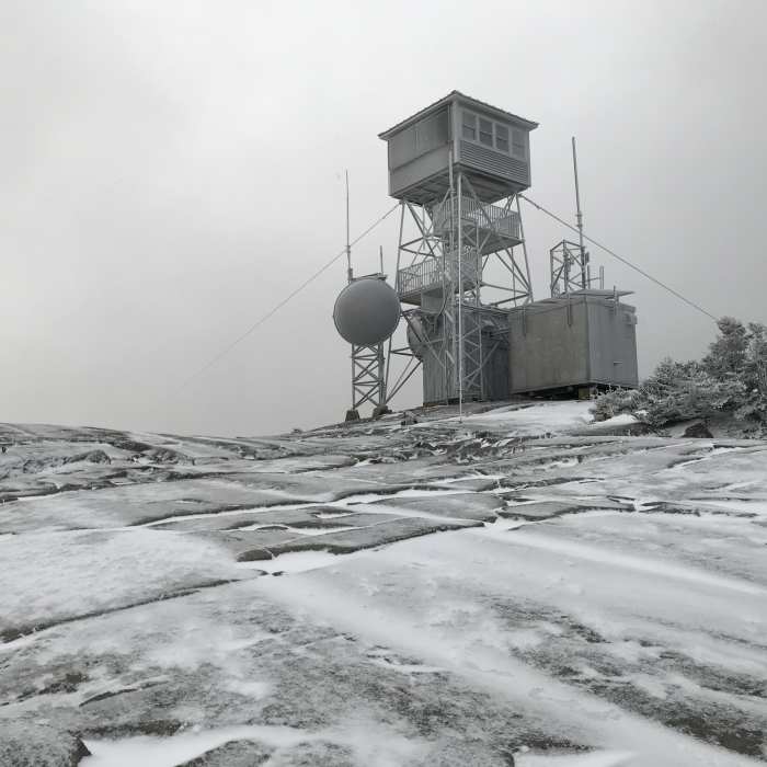
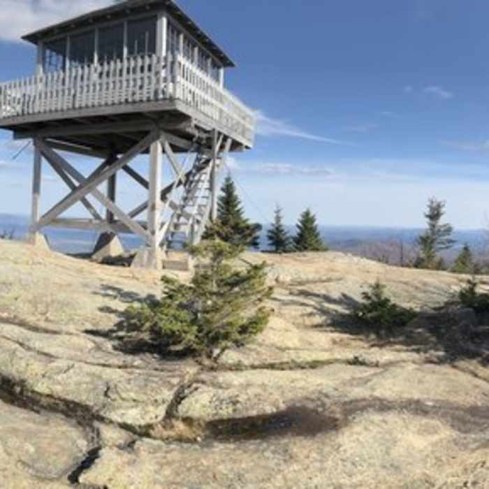
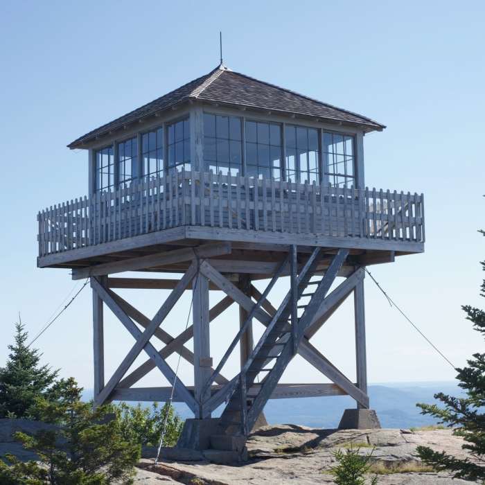
Continue straight on the Lincoln Trail for its final 0.4 miles to the summit — this section climbs steeply through a talus field of large, broken rock fragments from Mount Kearsarge's cliffs, requiring careful hand-and-foot scrambling, and is hazardous when wet or icy. Reach the fire-tower summit at approximately 3.8 miles, having gained roughly 2,365 vertical feet.
Retrace the Lincoln Trail to return; the talus field is more difficult to descend than to climb and warrants extra caution.
All Clear
Looking for more condition reports?
Mount Kearsarge via Rollins Trail
Mount Kearsarge via Rollins Trail
Mount Kearsarge via Winslow Trail and Barlow Trail
Mount Kearsarge via Winslow Trail and Barlow Trail
Contributors

