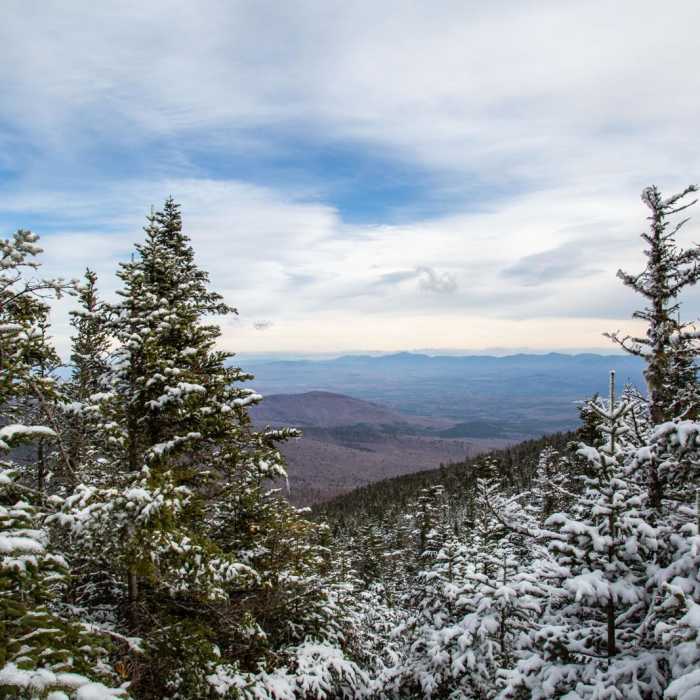
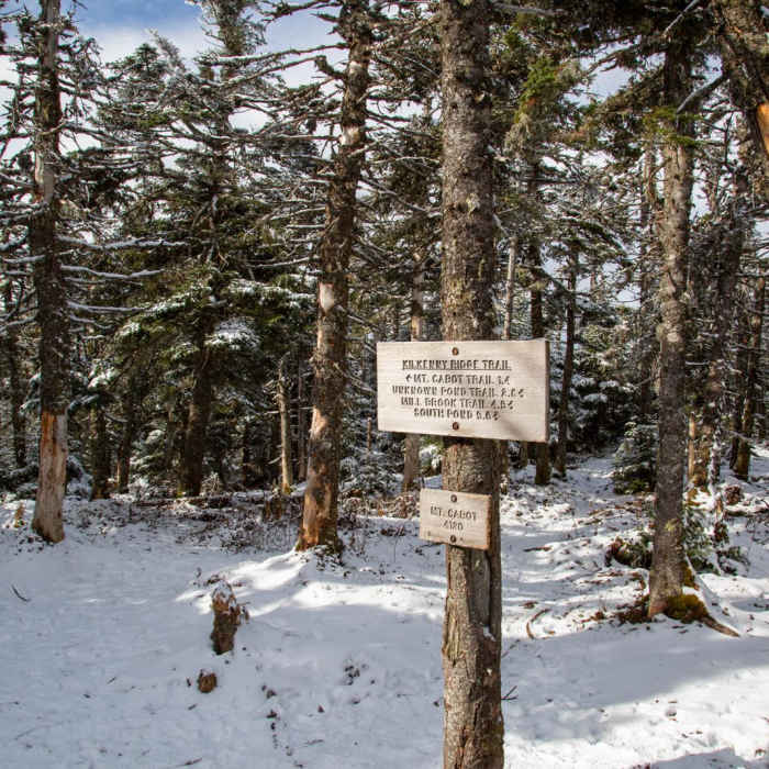
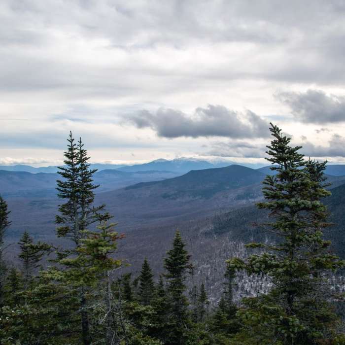
Near Mount Cabot via Bunnell Notch Trail

Looking for more photos?

View All Photos
View Map
Driving Directions
Classic Hike Route
Buy NowView in 3D

Mount Cabot via Bunnell Notch Trail

3.0 (1 Rating)
Ascend to the summit of Mount Cabot, the northernmost 4,000-footer in the White Mountains, on this steady climb through dense northern hardwood forest to a historic summit cabin and wooded peak.
8.9
mi
Distance
2,885
ft
Gain
strenuous
Difficulty
Regional Classic
A must do route for the area handpicked by local experts.
Commonly BackpackedFall ColorsRiver/Creek
Access Issues
Permits and fees not required.

Route Details

Flatter
Steeper
8.87mi
Distance
2,885ft
Elevation Gain
2,885ft
Elevation Loss
35%
Max Grade
4,160ft
High Point
1,665ft
Low Point
Path Type
There and Back
Description
This route begins and ends at the York Pond East Trailhead after reaching the summit of Mount Cabot by the Bunnell Notch Trail. From the trailhead, begin on the York Pond Trail, heading southwest for 0.2 miles to the junction with the Bunnell Notch Trail. Turn right onto the Bunnell Notch Trail and begin a gradual climb alongside a stream. At 2.8 miles, the trail reaches Bunnell Notch and intersects the Kilkenny Ridge Trail. Turn right onto the Kilkenny Ridge Trail. The grade steepens and curves to the north as you climb to the Mount Cabot Cabin at 4.2 miles. Continue past the cabin for another 0.2 miles to reach the wooded summit of Mount Cabot. Retrace your steps to return to the trailhead.

Route Conditions

Report Conditions
No Condition Reports
Report Conditions

Nearby Hike Routes

Mount Cabot Loop

Hike Route

Mount Cabot Loop

Less Crowded
strenuous
10.45 mi
+3,308 ft
Mount Starr King + Mount Waumbek

Hike Route

Mount Starr King + Mount Waumbek

Views
moderate
3.15 mi
+2,483 ft
Mount Crescent Loop

Hike Route

Mount Crescent Loop

moderate
3.1 mi
+1,441 ft
Underhill and Four Soldiers Loop

Hike Route

Underhill and Four Soldiers Loop

strenuous
6.92 mi
+1,742 ft
Mount Madison

Hike Route

Mount Madison

Less Crowded
strenuous
7.63 mi
+4,057 ft
The Presidential Traverse

Classic Hike Route

The Presidential Traverse

Fall Colors
strenuous
17.06 mi
+7,724 ft
Contributors
onX Maps, Inc
