
Ready to explore this trail?
View Trail Map in AppNo recreation fees or permits are required to hike or camp at the designated sites near Unknown Pond.
Path Type
Loop
This route begins and ends at the York Pond East Trailhead near the Berlin National Fish Hatchery.
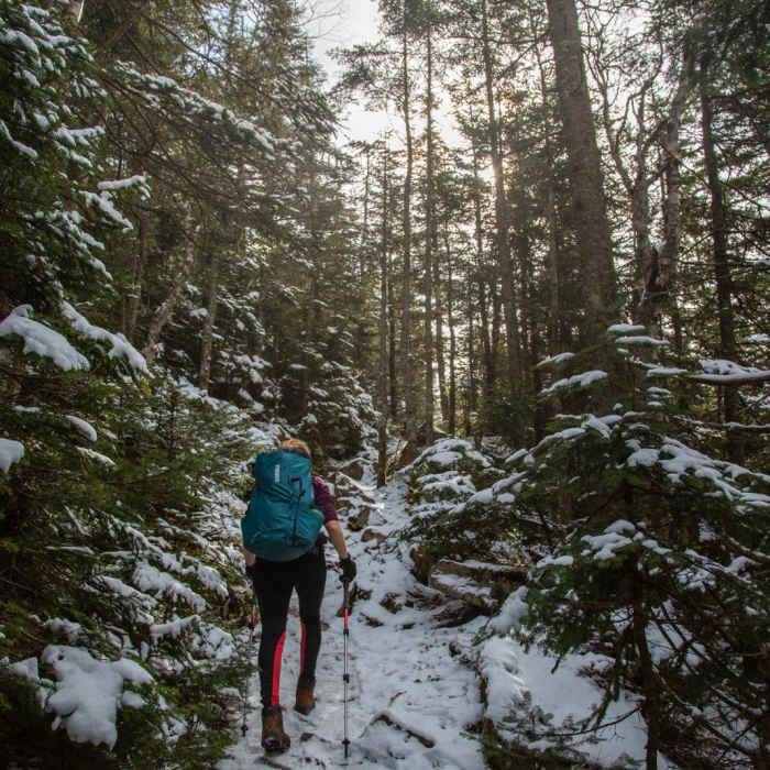
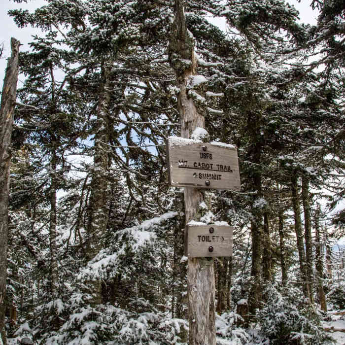
Begin on the Bunnell Notch Trail, keeping right at 0.2 miles to bypass the York Pond Trail. Follow the Bunnell Notch Trail as it climbs gradually along Bunnell Brook. At 2.8 miles, turn right onto the Kilkenny Ridge Trail and begin climbing north to the Mount Cabot Cabin at 4.2 miles.
Continue past the cabin to the wooded summit of Mount Cabot at 4.4 miles. Proceed north along the Kilkenny Ridge Trail to the junction with the spur trail for The Horn at 5.4 miles. Turn right and hike 0.2 miles to scramble up the rocky peak of The Horn. Retrace your steps to the main trail and continue north to Unknown Pond at 7.2 miles.
Turn right onto the Unknown Pond Trail and descend gradually for 3.2 miles back to the trailhead.
No Condition Reports
Mount Cabot via Bunnell Notch Trail
Mount Cabot via Bunnell Notch Trail
Mount Starr King + Mount Waumbek
Mount Starr King + Mount Waumbek
Mount Madison
Mount Madison
The Presidential Traverse
The Presidential Traverse
Contributors

