
Ready to explore this trail?
View Trail Map in AppNo day-use parking reservation is required at South Branch Pond, unlike Katahdin's three roadside trailheads. Non-Maine-resident vehicles pay an entrance fee at the gatehouse. Park roads are unpaved with a 20 mph limit, and gate hours (6 a.m.–10 p.m.) are subject to seasonal change. Pets are prohibited park-wide.
Path Type
There and Back
This route begins and ends at South Branch Pond Campground, at the east end of the campground near campsite 19.
From the trailhead and campsite area, follow the Pogy Notch Trail along the east shore of the ponds, crossing Howe Brook at 1.0 mile, and climb over cliffs to reach the Center Ridge Trail junction at 1.3 miles; bear left onto Center Ridge Trail.
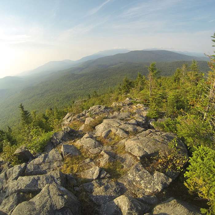
The trail climbs a series of ledges and a rough, rocky ridge, breaking above treeline within the first mile, to summit Peak of the Ridges (3,225') at 3.3 miles. Continue onto the Traveler Trail, descending about 400 vertical feet into an open alpine meadow, then climb through loose talus and broken volcanic rhyolite scree to The Traveler's summit (3,540') at 4.5 miles.
From the summit, retrace the same trails back to the campground for a round trip of about 10 miles. The terrain is identical to the loop's first half: exposed, above-treeline ridge over loose, sharp rhyolite rock, treacherous when wet. Carry at least two quarts of water per person, since none is reliably available past Upper South Branch Pond.
No Condition Reports
The Traveler Loop
The Traveler Loop
The Traveler and South Branch Mountain Loop
The Traveler and South Branch Mountain Loop
Russell Pond-Mount Katahdin Loop
Russell Pond-Mount Katahdin Loop
Wassataquoik Lake
Wassataquoik Lake
Mount Katahdin
Mount Katahdin
South Turner Mountain via Sandy Stream Pond
South Turner Mountain via Sandy Stream Pond
Contributors

