

Ready to explore this trail?
View Trail Map in AppPath Type
Loop
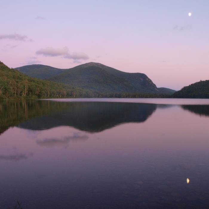
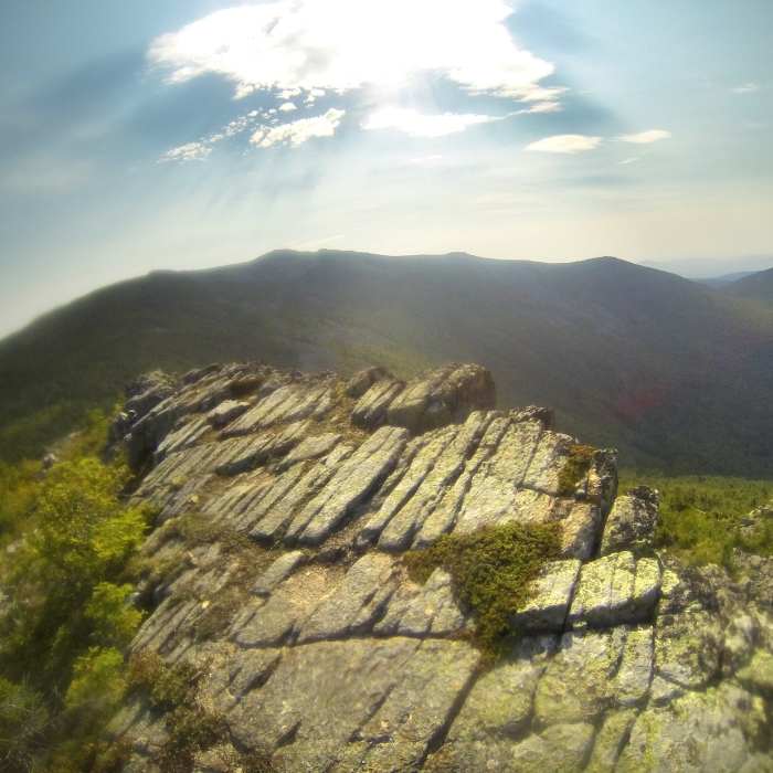
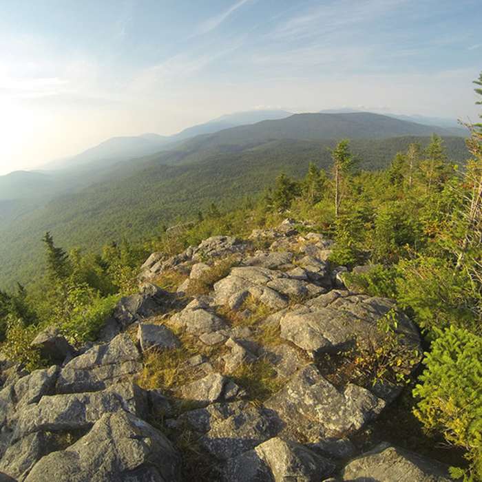
The Traveler and South Branch Mountain Loop is a highly strenuous, rugged, and remote loop in the northern section of Baxter State Park. Spanning approximately 13 miles with over 5,000 feet of elevation gain, this route traverses multiple summits, including South Branch Mountain, Black Cat Mountain, Peak of Ridges, The Traveler, and North Traveler Mountain. The hike features technical footing, steep climbs, exposed alpine ridges, and exceptional 360-degree views of the surrounding wilderness and ponds.
The loop begins near the South Branch Pond Ranger Station and campground. Hikers must cross the outlet of Lower South Branch Pond, which may require wading depending on water levels. The route follows the South Branch Mountain Trail, climbing steeply through the forest to the ridge of South Branch Mountain and continuing to the open ledges of Black Cat Mountain. From Black Cat Mountain, the trail descends steeply along the south ridge before traversing to the Pogy Notch Trail near the south end of Upper South Branch Pond. This junction serves as a critical spot to replenish water before ascending the dry ridges ahead.
After a short northern stretch along the Pogy Notch Trail, the route turns onto the Center Ridge Trail. This trail climbs steeply through red pines and open ledges, entering the alpine zone. The terrain becomes highly technical with loose, jagged rocks leading up to the Peak of Ridges at 3,254 feet. From this exposed peak, the trail drops into a saddle before ascending to the summit of The Traveler, the highest point on the loop at 3,477 feet.
From the summit of The Traveler, the route follows the ridge north toward North Traveler Mountain. Navigating this section requires careful attention to cairns through weathered basalt slabs, alpine scrub, and stunted birch. After reaching the summit of North Traveler Mountain at 3,152 feet, the trail descends via the North Traveler Trail, which features grassy meadows before becoming steep, loose, and rooty near the bottom. The trail concludes near the Lower South Branch Pond campground, completing the loop.
No Condition Reports
The Traveler Loop
The Traveler Loop
The Traveler via Center Ridge and Traveler Trails
The Traveler via Center Ridge and Traveler Trails
Russell Pond-Mount Katahdin Loop
Russell Pond-Mount Katahdin Loop
Wassataquoik Lake
Wassataquoik Lake
Mount Katahdin
Mount Katahdin
South Turner Mountain via Sandy Stream Pond
South Turner Mountain via Sandy Stream Pond
Contributors

