Ready to explore this trail?
View Trail Map in AppPath Type
Loop
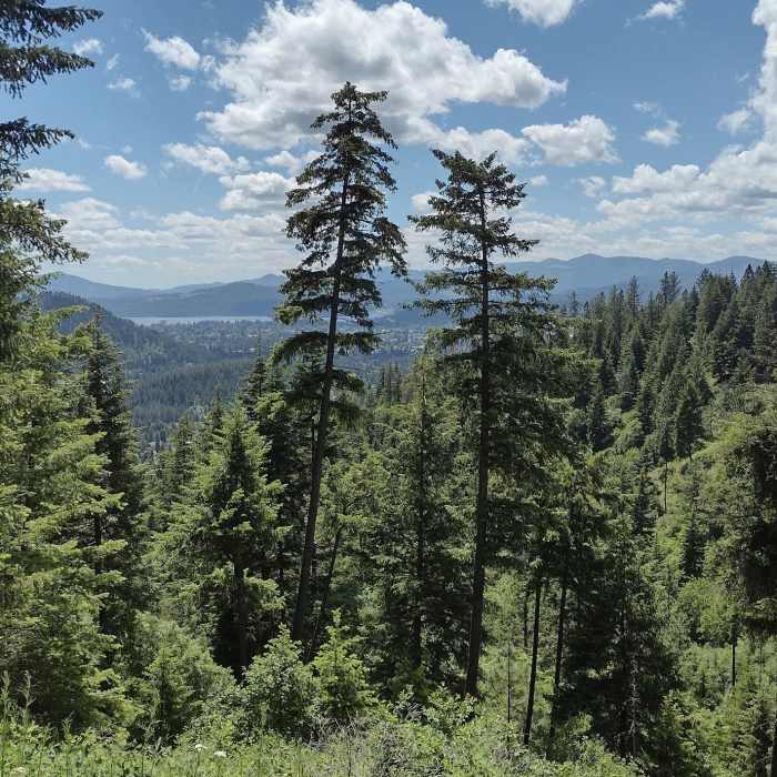
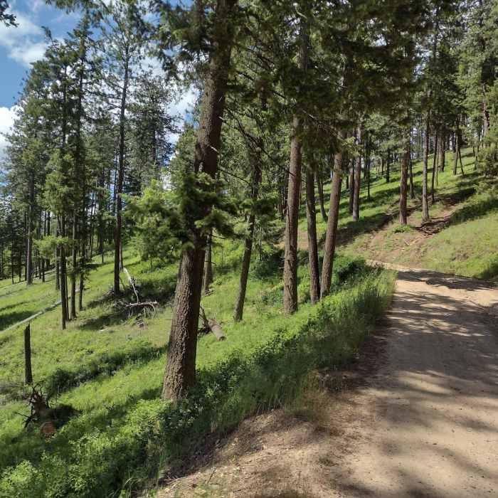
From the trailhead, take the South Canfield OHV (USFS 1562) road for just over a mile till it connects with Trail A on the right. There will be a short, mellow descent as Trail A wanders down to the intersection with Trail 3. Keep left to head up to the bottom of Trail 6.Follow Trail 6 up a steady and fairly gentle grade as it follows the contours of the slope. The top of the climb brings hikers to "The Island" where a turn to the right will start down Trail 7 for a nice, gentle descent with long, straight corridors through the trees. Trail 7 ends at "Penn Station."Take a hard right to rejoin Trail A. The enjoyable singletrack winds its way down the west side of the ridge to meet the top of Trail 4 (Cave Trail). Turn left to hike down a shady drainage all the way to the parking lot. Look for a cave near the end that was created by mining operations.
All Clear
All Clear
Some Issues
All Clear
Looking for more condition reports?
Tubbs Hill Main Trail
Tubbs Hill Main Trail
Mineral Ridge National Recreation Trail
Mineral Ridge National Recreation Trail
Trail #257 South/Carlin Connector Loop
Trail #257 South/Carlin Connector Loop
Highpoint Trail
Highpoint Trail
Beaver Bay Shoreline Trail
Beaver Bay Shoreline Trail
Mica Peak to Liberty Lake: Highline Connector
Mica Peak to Liberty Lake: Highline Connector
Contributors

