
Ready to explore this trail?
View Trail Map in AppOccasionally the mountain will be closed off due to US Army training, but it's not often.
Path Type
There and Back
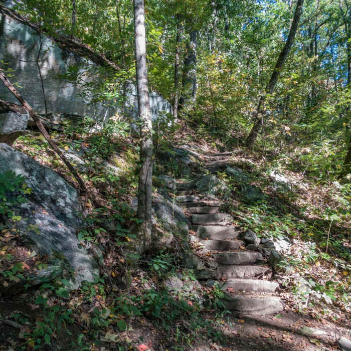
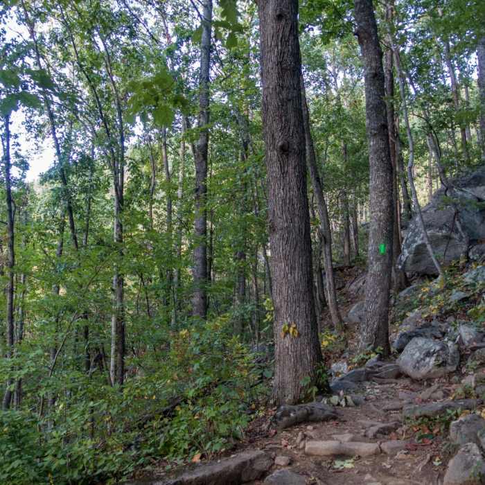
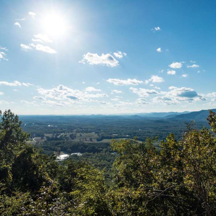
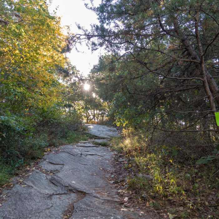
The main Yonah Mountain Trail starts at the trailhead, available just off Chambers Road in Helen, GA. The trail starts with a moderate uphill climb, crossing via bridge over a brook at one point. Eventually a set of switchbacks starts, as well as a very neat set of steps that are part of the mountain itself. There are lots of off-trail shortcuts that people have made;please try to avoid the temptation of taking these and stay on the blazed trail. As you climb, there are a few big scrambles up rocks that are in the path, but nothing too difficult. Eventually, you'll reach the first LZ (landing zone) used occasionally by the US Army--this is a grassy area about two-thirds of the way up the trail (here is also where, if you wanted to do some toprope climbing, you'd take a detour to the right).From this point, the trail gets significantly steeper. The last third is quite the uphill climb! At least there's no scrambling beyond this point.Once you get to the outdoor bathrooms, you are at the end of the area managed by the National Park Service. Above this point on the mountain, there are few defined trails, as it is managed solely by the US Army. To reach the summit, follow the road to the right (south). Once at the "peak" (which is really just a grassy area for landing helicopters), you'll have great views of the surrounding area.
No Condition Reports
Raven Cliffs Falls
Raven Cliffs Falls
Anna Ruby Falls
Anna Ruby Falls
Brasstown Bald via Appalachian Trail
Brasstown Bald via Appalachian Trail
Neels Gap - Lake Winfield Scott Traverse
Neels Gap - Lake Winfield Scott Traverse
Blood Mountain, Freeman Trail Loop
Blood Mountain, Freeman Trail Loop
Coosa Backcountry
Coosa Backcountry
Contributors

