Ready to explore this trail?
View Trail Map in AppRegional Classic
A must do route for the area handpicked by local experts.
The trailhead is located on Mount Washington Road (also known as East Street) directly at the Connecticut-Massachusetts border. Parking is limited to a small, unpaved pull-off on the side of the road that accommodates approximately five vehicles. No parking fees or hiking permits are required. Mount Washington Road is a seasonal dirt road that is not plowed or maintained during the winter, making vehicle access difficult or impossible from late fall through early spring.
Path Type
There and Back
The route begins and ends at the East Street trailhead on the Connecticut–Massachusetts state line in Mount Washington, Massachusetts, and reaches the tri-state marker where Connecticut, Massachusetts, and New York meet, returning the same way for a round trip of about 3.3 miles.
From the trailhead, follow red blazes into the woods; the trail turns left after a short distance, so watch for the turn rather than continuing straight. About 0.4 miles in, a steep, rocky scramble climbs to the top of Round Mountain (2,280'), the route's first crux — use hands for balance, especially on wet rock.
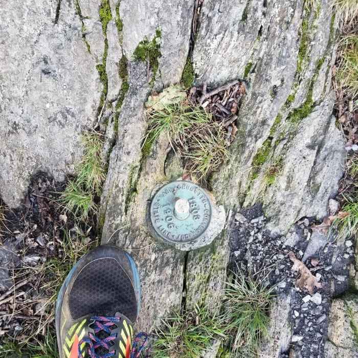
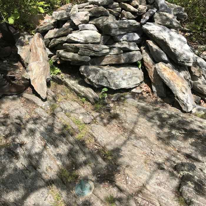
Continue about 0.5 miles to the wooded, viewless summit of Mount Frissell (2,454'), Massachusetts's highest point. From the summit, the trail turns south onto Frissell's south face and begins to descend. About 0.25 miles down, watch for a small rock cairn and a short green survey pipe just left of the trail — this unmarked spot is Connecticut's official high point (2,380'). Continue south another 0.4 miles to a three-foot stone pillar marking the 1896 tri-state boundary.
Return by retracing the route north, including the Round Mountain scramble, which is more exposed to slips on the way down than on the way up.
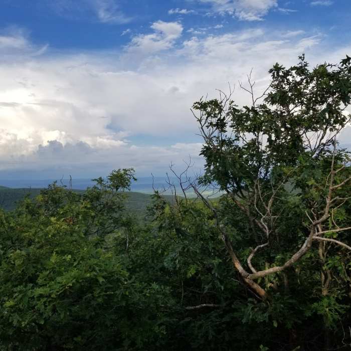
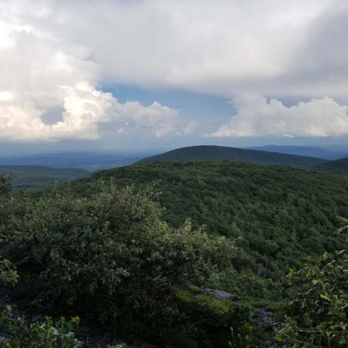
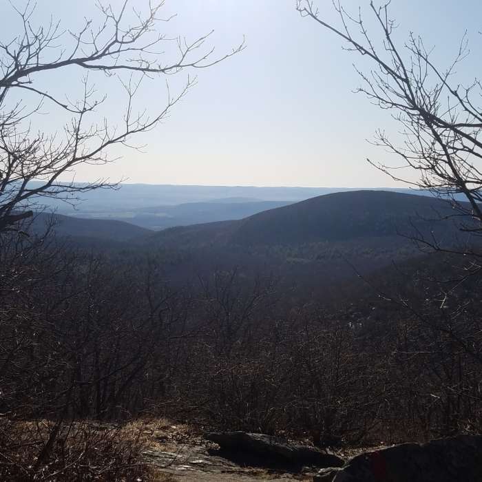
For a very long time, the summit of Bear Mountain was thought to be the highest point in Connecticut. While it is true that the summit of that mountain is the highest peak in the state, the highest point is actually on the south slope of Mount Frissel whose summit is just over the border in Massachusetts. This trail leads to that point.
No Condition Reports
Brace Mountain Out-and-Back
Brace Mountain Out-and-Back
Bear Mountain
Bear Mountain
Lion's Head
Lion's Head
Race Brook Falls
Race Brook Falls
Contributors

