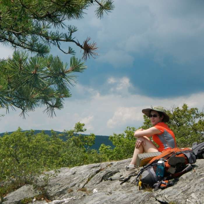
Near Bear Mountain
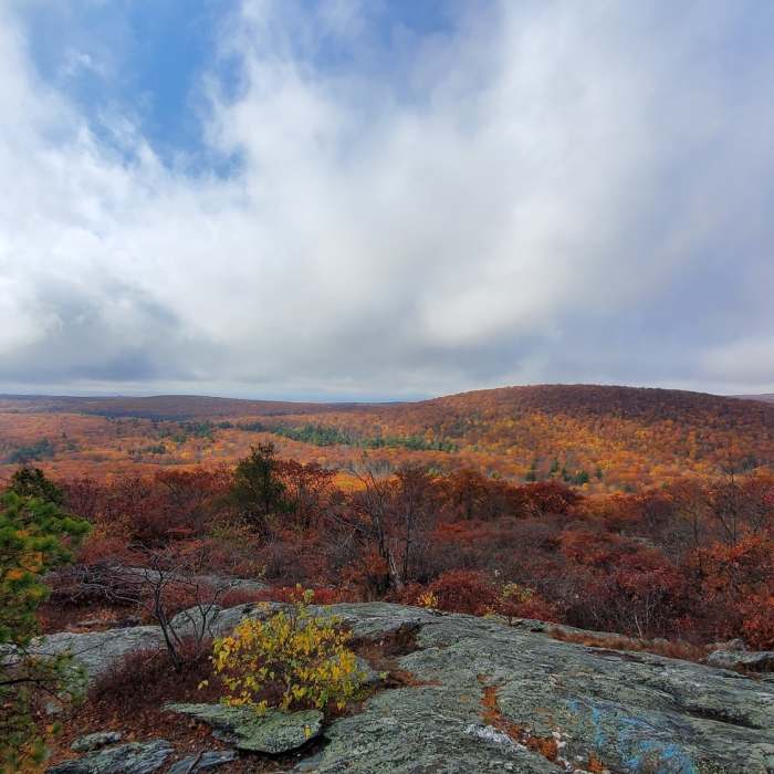
Lower Viewpoint about 0.2 mi from the peak.
Near Bear Mountain
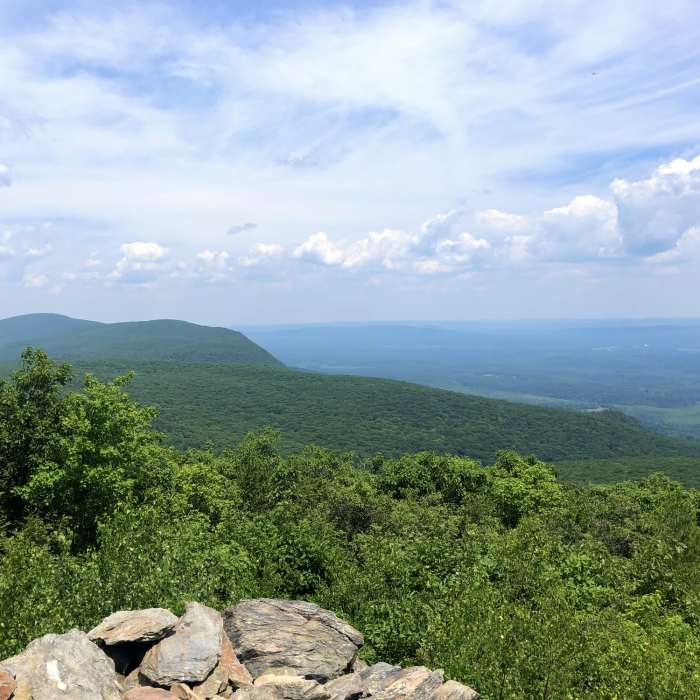
Bear Mountain Peak
Near Bear Mountain
View from the peak of Bear Mountain on a beautiful day!
Near Bear Mountain
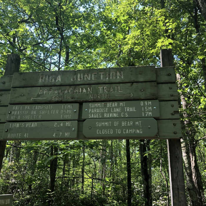
Trail Sign
Near Bear Mountain
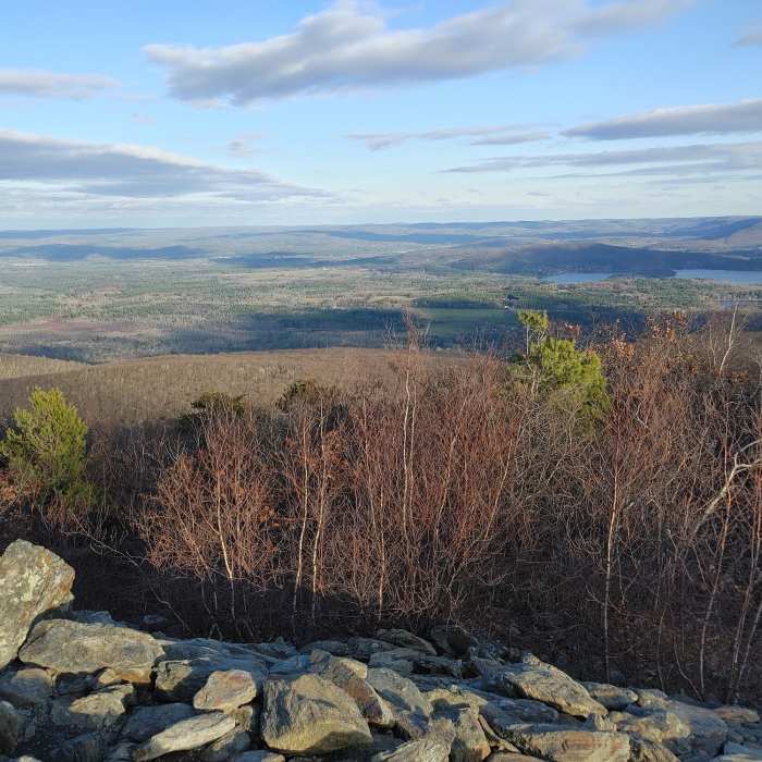
Enjoying the views

Looking for more photos?

View All Photos
View Map
Driving Directions
Hike Route
Buy NowView in 3D

Bear Mountain

4.6 (11 Ratings)
A challenging 5.2-mile out-and-back hike climbing 1,555 feet to the summit of Bear Mountain, Connecticut's highest peak, which offers panoramic views of the Taconic Range.
5.2
mi
Distance
1,555
ft
Gain
moderate
Difficulty
BirdingCommonly BackpackedFall ColorsFamily FriendlyRiver/CreekViewsWildflowersWildlife

Route Details

Flatter
Steeper
5.23mi
Distance
1,555ft
Elevation Gain
1,555ft
Elevation Loss
35%
Max Grade
2,318ft
High Point
755ft
Low Point
Path Type
There and Back
Description
This popular 5.2-mile out-and-back hike climbs approximately 1,555 feet to the summit of Bear Mountain, the highest mountain peak located entirely within Connecticut. The hike begins at the Undermountain Trailhead parking area on Route 41, north of Salisbury. The Undermountain Trail ascends steadily through a hardwood forest and crosses several small streams. After passing the intersection with the Paradise Lane Trail—which offers options for loop variations—the trail reaches the Riga Junction and intersects with the Appalachian Trail. Turning north onto the Appalachian Trail, the ascent becomes steep and rugged, requiring hikers to scramble over steep rock ledges. The 2,318-foot summit features a large, historic stone pyramid monument built in 1885. This vantage point offers panoramic views of the Taconic Range, the Berkshires, and the Twin Lakes.

Route Conditions

Report Conditions
No Condition Reports
Report Conditions

Nearby Hike Routes

Lion's Head

Hike Route

Lion's Head

Views
easy
1.09 mi
+544 ft
Mount Frissell and Tri-State Marker

Classic Hike Route

Mount Frissell and Tri-State Marker

Dogs Allowed
moderate
3.06 mi
+1,176 ft
Brace Mountain Out-and-Back

Hike Route

Brace Mountain Out-and-Back

Birding
strenuous
3.67 mi
+1,516 ft
Race Brook Falls

Hike Route

Race Brook Falls

River/Creek
moderate
4.53 mi
+1,534 ft
Bartholomew's Cobble Trail

Hike Route

Bartholomew's Cobble Trail

River/Creek
easy
3.55 mi
+510 ft
Lime Kiln Farm Wildlife Sanctuary Loop

Hike Route

Lime Kiln Farm Wildlife Sanctuary Loop

Birding
easy
2.13 mi
+177 ft
Contributors
onX Maps, Inc
