Ready to explore this trail?
View Trail Map in AppRegional Classic
A must do route for the area handpicked by local experts.
No permit is required, but the route crosses private property near the trailhead — stay on the marked trail. It also enters the Collegiate Peaks Wilderness: dogs must be leashed, group sizes are limited, and campfire restrictions apply.
Path Type
Loop
The route begins and ends at the La Plata Peak trailhead at 10,000 feet and reaches the summit of La Plata Peak.
From the trailhead, walk back along South Fork Lake Creek Road for 0.3 miles to where it turns right; continue straight (east) on the La Plata Trail. Cross a wooden bridge over the South Fork of Lake Creek, then a smaller log bridge over La Plata Gulch Creek about 0.5 miles later. Just past this second crossing, the main trail turns sharply right; leave it here and continue straight on a less-used trail toward Ellingwood Ridge.
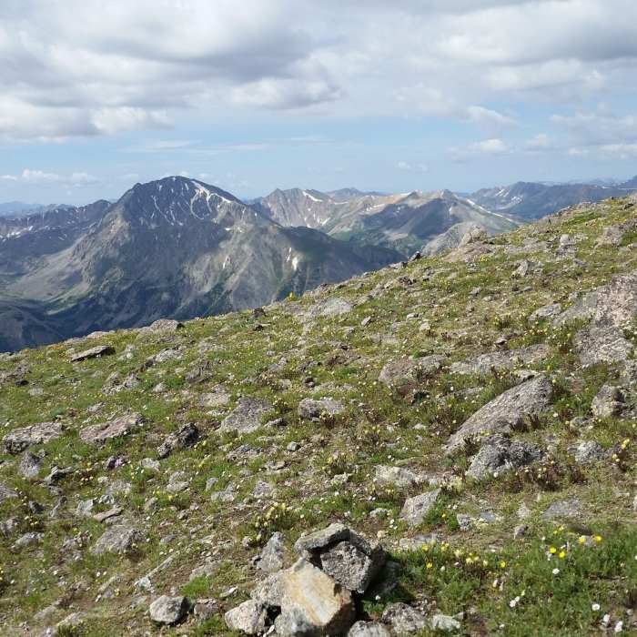
Follow this trail east to La Plata Basin Gulch, cross its creek, and climb south along the gulch to a narrow ridge with a crest trail — mostly Class 1. Around 11,200 feet, reach timberline at a large boulder field, where defined trail hiking ends.
From the boulder field, follow faint trail onto rock. Ellingwood Ridge's steep, talus-covered slopes rise to the left; solid rock on the right is the better line than the loose, cairned trail on the left. This first slope is steep Class 2 with minor Class 3 scrambling and no real exposure yet.
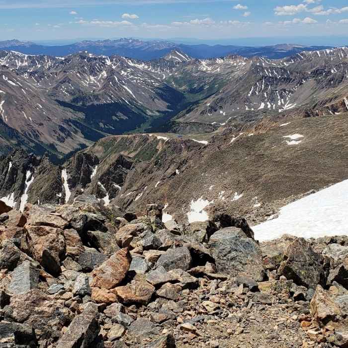
Above it, the terrain eases to grassy ground, then reaches the ridge's first rock tower. From here, the ridge is a sustained sequence of gendarmes, usually cliffed on the west side; aim for the high point at Point 13,206, staying on the crest or its east side. The crest itself involves technical climbing and likely a rappel; most parties instead work the east side just below it, keeping difficulties near Class 3 with careful route-finding despite frequent Class 4 opportunities. Cross Point 13,206 to the grassy summit of Point 13,138.
Past Point 13,138 is the route's first crux: complex route-finding through ledges, blind corners, gullies, and cliffs, with real exposure, rotten rock, minimal cairns, and a fair amount of downclimbing to keep difficulties at Class 3-4. Beyond it, a scree path climbs to a saddle where the ridge turns sharply west toward the summit.
From the saddle, the ridge steepens but stays mostly Class 3 up a long talus slope. The second crux is a large buttress blocking the ridge; pass it on its left (east) side. Beyond it, reach the 14,180-foot summit of "East La Plata" — the hardest terrain is now behind you, with La Plata's true summit visible across a final saddle. Descend past several more rock towers on their south side, scramble to the saddle (Class 2+), and continue west about 100 yards to La Plata's 14,336-foot summit.
Descend via the standard Northwest Ridge route rather than retracing Ellingwood Ridge. Wear a helmet given the loose rock throughout, and budget significantly more time than the mileage suggests — this ridge has a history of taking parties longer than expected, which is dangerous if a storm rolls in while still exposed on the crest.
No Condition Reports
La Plata Peak Northwest Ridge
La Plata Peak Northwest Ridge
Grizzly Ridge Out-and-Back
Grizzly Ridge Out-and-Back
Grizzly Peak and Garfield Peak
Grizzly Peak and Garfield Peak
Black Cloud Trail to Mount Elbert Summit
Black Cloud Trail to Mount Elbert Summit
Big Willis Lake Trail
Big Willis Lake Trail
Hope Pass from the Willis Gulch Trailhead
Hope Pass from the Willis Gulch Trailhead
Contributors

