


Ready to explore this trail?
View Trail Map in AppPath Type
There and Back
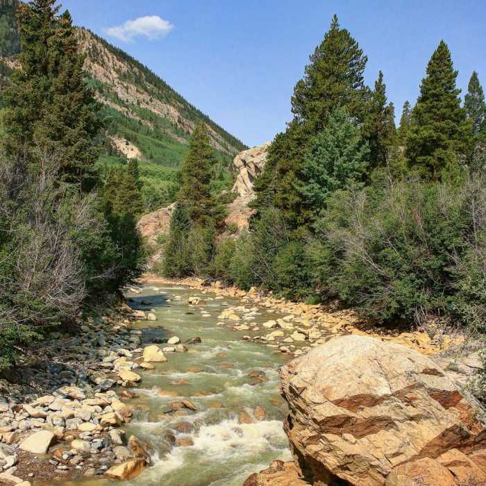
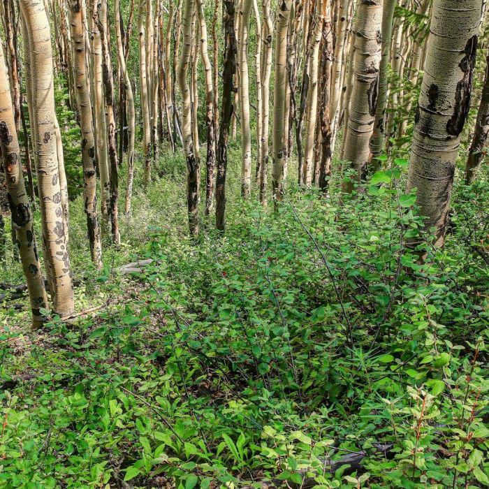
Starting from the Willis Gulch Trailhead parking area, cross the bridge over Lake Creek and begin a steady climb. At approximately 0.4 miles, reach the junction with the Upper Twin Lakes Trail and stay right. The trail continues climbing steadily for the next half-mile, offering scenic views of Twin Lakes to the northeast. After gaining about 400 feet, the path levels out as it winds through a dense evergreen and aspen forest. Cross a wooden bridge and immediately turn right to merge with the Colorado Trail/Continental Divide Trail.
At 1.6 miles, reach another trail junction and bear right onto the Willis Gulch Trail (also known as Big Willis Gulch Trail). This section contains the steepest climbs of the hike. Along this ascent, cross two streams over primitive log bridges. Around 2.8 miles, the trail passes near a pristine meadow along the creek, offering an excellent spot to filter water and rest. Continue across a rocky outcropping for about 0.2 miles, then hike along a gentle incline that weaves in and out of the timberline, passing two historic ruined log cabins on the right.
After traversing relatively flat terrain for a few miles, the trail passes a small, unnamed mountain lake to the south. Just beyond, the path rounds a bend to reveal Willis Lake, situated in a dramatic alpine basin. Nestled below Rinker Peak, Mount Hope, and Mount Blaurock, the pristine waters of Willis Lake offer excellent fishing for cutthroat trout and spectacular alpine views.
No Condition Reports
Hope Pass from the Willis Gulch Trailhead
Hope Pass from the Willis Gulch Trailhead
Black Cloud Trail to Mount Elbert Summit
Black Cloud Trail to Mount Elbert Summit
CDT: Sheep Gulch to Halfmoon Creek (CO Sec. 23)
CDT: Sheep Gulch to Halfmoon Creek (CO Sec. 23)
Continental Divide Trail: Colorado Section 22
Continental Divide Trail: Colorado Section 22
Missouri Mountain Northwest Ridge
Missouri Mountain Northwest Ridge
Mount Oxford via Mount Belford
Mount Oxford via Mount Belford
Contributors

