


Ready to explore this trail?
View Trail Map in AppRegional Classic
A must do route for the area handpicked by local experts.
No permit is required. This is a demanding, largely trail-less traverse with a real history of Search and Rescue calls — turn back at the first sign of bad weather.
The Cottonwood Creek Trailhead is generally closed for winter several miles below the start of the Horn Fork Basin Trail.
Path Type
Loop
The route begins and ends at the North Cottonwood Creek trailhead, climbing Mount Harvard, traversing the connecting ridge to Mount Columbia, and descending Columbia's west slopes back to the same trailhead for a round trip of about 15 miles.
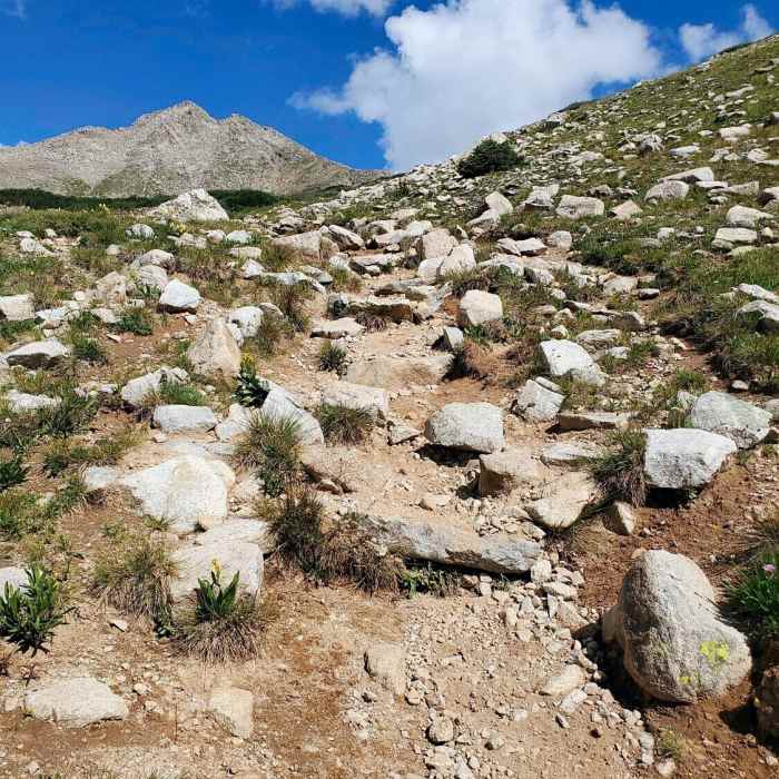
From the trailhead, follow the trail 1.4 miles to a bridge, then continue toward Horn Fork Basin, staying right at the Bear Lake junction. Above treeline near 11,500 feet, continue through the basin, crossing a stream, then climb a talus shoulder east of Point 13,588' and ascend a well-defined trail to Harvard's south ridge. Follow the ridge north to the summit pitch near 14,375 feet, a short Class 2 scramble to the top.
From Harvard's summit, hike east along the ridge, through a notch, and descend southeast past a pointed rock formation near 14,100 feet.
Crux: The faint trail fades in talus near Point 13,516'; drop below 12,800 feet and leave the ridge to contour southwest across sustained talus, regaining elevation toward Columbia. This stretch, without a defined trail across loose rock, is the traverse's true crux — allow a couple of hours and don't attempt it in deteriorating weather.
Near 13,400 feet, rejoin the ridge and climb about 100 feet of steeper rock below Columbia's 14,073-foot summit.
Descend Columbia's west slopes: switchback down its southwest shoulder, drop through a talus gully into forest, and rejoin the main Horn Fork Basin trail. Follow it back through the basin and out to the trailhead.
Mount Harvard is the third highest peak in the state. Sometime during the 1960s a trio of Harvard men, in a sophomoric Ivy League attempt to bolster the status of their alma mater's mountain, erected a flagpole with a high point of 14,434 ft - making the top of Mt. Harvard the highest in the state. Though they escaped electrocution, their efforts were nullified in the 1980s, when the pole was taken down by hikers trying to clean up the 14ers.
No Condition Reports
Kroenke Lake
Kroenke Lake
Mount Harvard South Slopes
Mount Harvard South Slopes
Mount Columbia West Slopes
Mount Columbia West Slopes
Bear Lake and Horn Fork Basin
Bear Lake and Horn Fork Basin
Colorado Trail: Segment 13
Colorado Trail: Segment 13
Mount Columbia Southeast Ridge
Mount Columbia Southeast Ridge
Contributors

