



Ready to explore this trail?
View Trail Map in AppPath Type
Point to Point
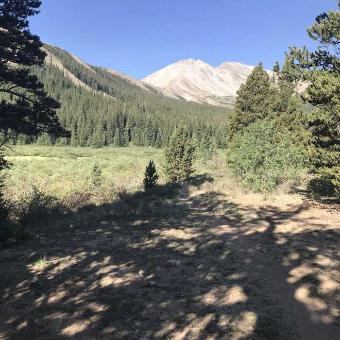
Colorado Trail: Segment 13 is a 21.9-mile point-to-point segment of the Colorado Trail, running from Silver Creek Trailhead to Chalk Creek Trailhead. This segment begins with a climb into the Collegiate Peaks Wilderness, reaching a scenic saddle along Mount Yale's east ridge at approximately 11,900 feet. After descending and leaving the wilderness area, the trail contours around the base of Mount Princeton, offering expansive vistas of the Arkansas River Valley.
This segment provides access to climbing routes for both Mount Yale (14,200 feet) and Mount Princeton (14,204 feet). Towards the end of the segment, the trail passes near the Mount Princeton Hot Springs, providing a popular rest stop. Because the trail enters the Collegiate Peaks Wilderness, bicycles are prohibited between the Silver Creek Trailhead and the wilderness boundary near Avalanche Trailhead. Cyclists must detour around this wilderness section using local roads before rejoining the Colorado Trail.
Water is generally available along this segment from various creeks, but all water should be treated before consumption. The route is also part of the 160-mile Collegiate Loop, which combines the Collegiate East and Collegiate West segments of the Colorado Trail. Access points with vehicle access include the Silver Creek Trailhead, Avalanche Trailhead (off Cottonwood Pass Road), and Chalk Creek Trailhead.
No Condition Reports
Mount Columbia Southeast Ridge
Mount Columbia Southeast Ridge
Kroenke Lake
Kroenke Lake
Harvard and Columbia Traverse
Harvard and Columbia Traverse
Mount Harvard South Slopes
Mount Harvard South Slopes
Mount Columbia West Slopes
Mount Columbia West Slopes
Bear Lake and Horn Fork Basin
Bear Lake and Horn Fork Basin
Contributors

