

Ready to explore this trail?
View Trail Map in AppRegional Classic
A must do route for the area handpicked by local experts.
A reservation and fee are required to hike this privately owned peak. Permits must be purchased in advance via Cielo Vista Ranch. Unpermitted entry is strictly prosecuted as trespassing.
Path Type
There and Back
This route starts and ends at the Cielo Vista Ranch headquarters, after reaching the summit of Culebra Peak.
From the ranch headquarters, follow the four-wheel-drive road climbing steadily. At 0.1 miles, stay right to continue up the steep road. High-clearance four-wheel-drive vehicles can drive this road to the upper trailhead at 4.4 miles, which sits at 11,600 feet.
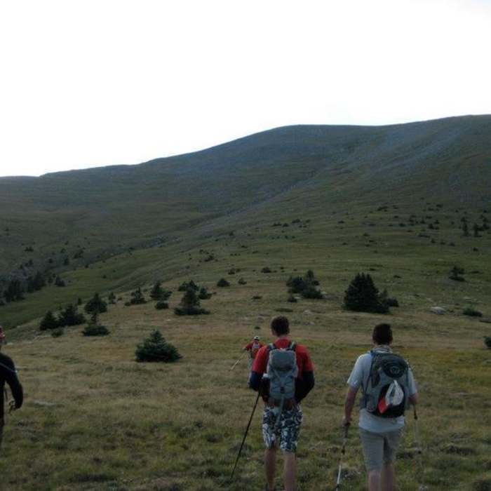
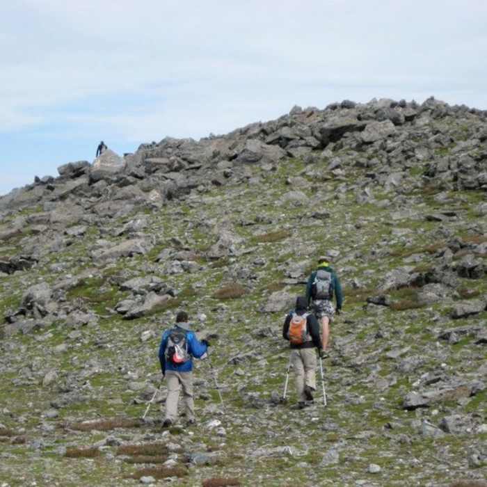
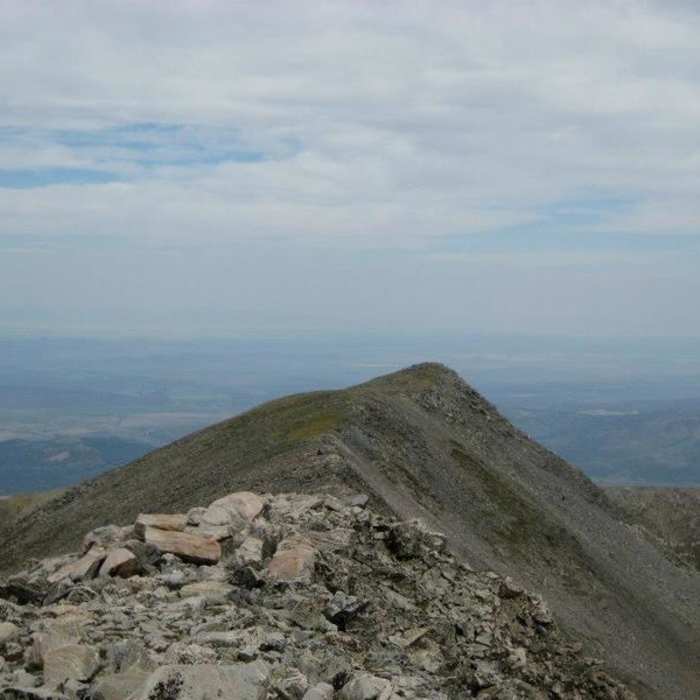
From the upper trailhead, proceed east along a drainage on a moderate, grassy slope. Keep to the right of the drainage to climb 1,700 vertical feet toward the ridge at around 5.6 miles. Once on the ridge, pass a prominent spire-like cairn and continue along the wind-scoured crest. Descend 200 vertical feet into a saddle, then crest the ridge again, following a rocky trail just to the right of the crest. Upon reaching the false summit at 13,900 feet, drop 50 vertical feet before climbing the final rocky slope for 0.4 miles to reach the summit of Culebra Peak.
Crux: No established trail leads from the upper trailhead to the ridge crest at 13,350' — navigation across open northwest slopes requires a GPS track or strong terrain-reading skills. At the large cairn on the ridge crest, the route turns south and descends ~150 feet to a 13,200' saddle before picking up a rocky ridgeline with moderate exposure and rockfall. The false summit at 13,900' is convincing; the true summit is another half mile beyond it.
Retrace your steps to return.
All Clear
All Clear
Looking for more condition reports?
West Spanish Peak Trail to Summit
West Spanish Peak Trail to Summit
Fort Garland Foothills Route
Fort Garland Foothills Route
East Spanish Peak Ascent
East Spanish Peak Ascent
Ellingwood Point South Face
Ellingwood Point South Face
Little Bear Peak West Ridge and Hourglass
Little Bear Peak West Ridge and Hourglass
Blanca Peak Northwest Ridge
Blanca Peak Northwest Ridge
Contributors

