


Ready to explore this trail?
View Trail Map in AppIf staying overnight at Capitol Lake, advance reservation overnight permits are required and must be purchased in advance at <a href="http://recreation.gov/">recreation.gov</a>. Approved bear food storage containers are also required and strictly enforced.
Path Type
Loop
This challenging 23.3-mile loop in the Maroon Bells-Snowmass Wilderness showcases rugged alpine terrain, pristine lakes, and dramatic mountain passes. Starting at the Capitol Creek Trailhead, the route climbs over 7,130 feet, reaching a high point of approximately 12,080 feet near the passes. The loop offers a demanding multi-day backpacking experience with outstanding views of Capitol Peak and the surrounding wilderness.
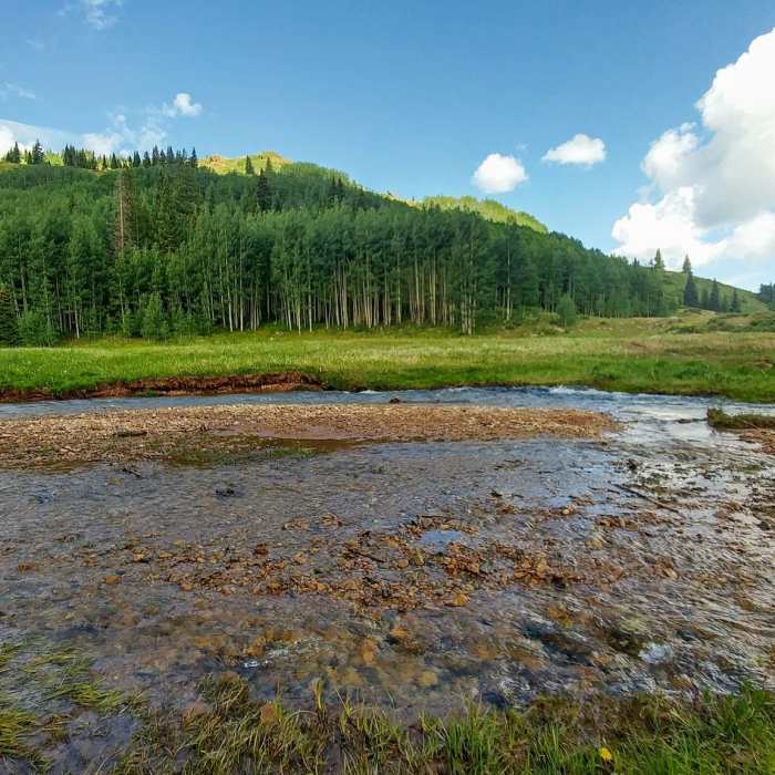
Beginning on the Capitol Creek Trail (Trail 1961), the path ascends through aspen groves and meadows to Capitol Lake, nestled directly beneath the towering north face of Capitol Peak. The lake basin features designated campsites, where local wildlife, particularly marmots, is highly active. From the lake, the trail climbs steeply over Capitol Pass, providing panoramic views before descending into the Avalanche Creek drainage.
The descent passes scenic waterfalls and leads to Dooley Park, an expansive meadow that offers flat campsites and frequent sightings of deer and elk. All backcountry water, including springs and creeks, should be filtered or treated before consumption.
The lower portion of the loop crosses Hell's Roaring Creek, where hikers should be prepared for potential wade crossings, as seasonal runoff can wash out footbridges. From the creek, the route begins a grueling 4,000-foot climb up to Hell's Roaring Pass. The pass offers views of the drainage and nearby Wilson Lake. The final leg of the loop descends along a dry, waterless ridge, eventually connecting to a 4x4 road that leads back to the Capitol Creek Trailhead.
No Condition Reports
Capitol Lake
Capitol Lake
Capitol Peak Northeast Ridge
Capitol Peak Northeast Ridge
Snowmass to Willow Lake Loop
Snowmass to Willow Lake Loop
Snowmass Lake
Snowmass Lake
Snowmass Mountain East Slopes
Snowmass Mountain East Slopes
Mount Sopris
Mount Sopris
Contributors

