Ready to explore this trail?
View Trail Map in AppRegional Classic
A must do route for the area handpicked by local experts.
A quota wilderness permit is required for overnight travel past Bishop Pass from May 1 through November 1, limited to 36 people per day — 22 by advance reservation, 14 walk-up. Day use requires no permit. The access road and lot fill early on summer weekends.
Path Type
Loop
This is a mountaineering route, not a hike or scramble. Reaching Mount Sill requires roped technical climbing across sustained Class 4 and Class 5 terrain, several rappels, and exposed 5.9 and 5.4 summit-block climbs on Thunderbolt Peak and Starlight Peak — rope, harness, rack, and rappel gear are required. Technical climbing begins at the notch below Thunderbolt Peak, about seven miles in, and continues across five summits with no easy walk-off. See Climb Mode and Mountain Project for pitch-by-pitch detail before attempting this traverse.
The route begins and ends at the South Lake trailhead (9,800'). From here, follow the Bishop Pass Trail south past Long Lake (2.7 miles) to Bishop Pass (5.2 miles, 11,972'), then continue cross-country to Dusy Basin, the standard camp for the traverse. From camp, climb talus to Thunderbolt Pass (12,350'), then ascend the loose Southwest Chute — a Class 3 ledge bypasses a chokestone and snow patch partway up — to the notch below Thunderbolt Peak.
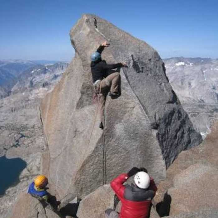
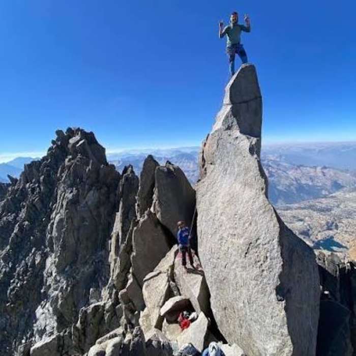
Crux 1: Thunderbolt's summit block (5.9): a free-standing granite monolith with a poor landing and no walk-off; most parties lasso the block or place a directional anchor before climbing the exposed face.
Reverse to the notch and traverse south below the crest — route-finding is difficult here, with several dead-end ledge systems — toward Starlight Peak.
Crux 2: Starlight's Milk Bottle (5.4): a slender, free-standing pinnacle well above the anchor cord, requiring a mantle onto a sloped shoulder with serious fall potential down the west face.
Crux 3: the notch beyond Starlight where a deep, narrow gap splits the ridge. Rappel across it, or climb a bold 5.6 chimney direct on the ridgeline; downclimbing unprotected is not reasonable. Easier ledges beyond lead to North Palisade, the traverse's high point.
Crux 4: North Palisade to the U-Notch: descend Class 4 terrain off the summit, then make two rappels (fixed piton anchors are typically present) into the U-Notch, the deep gap separating North Palisade from Polemonium Peak.
Crux 5: the U-Notch chimney to Polemonium: climb a sustained 5.2–5.4 crack-and-chimney system directly out of the notch, hardest right off the belay and easing higher. A more exposed 5.2 face variation exists on the west ridge. Descend Polemonium's east ridge on Class 4 terrain, then easier Class 2–3 talus to Mount Sill — a marked drop in difficulty.
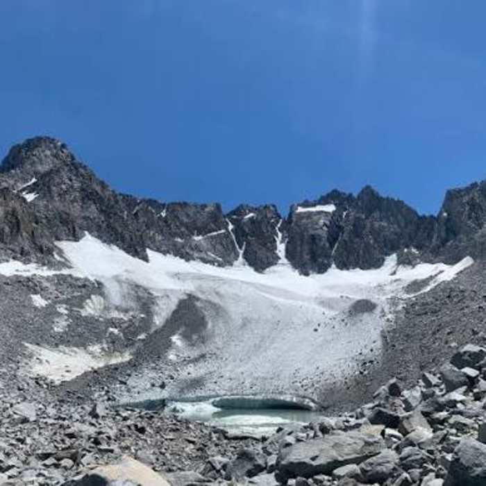
To return, descend Sill's southwest slopes into the Glacier Creek drainage, then climb cross-country to Potluck Pass. Beyond the pass, Palisade Basin has no maintained trail and is choked with sustained boulder fields; route-finding is genuinely difficult, and this leg takes far longer than many expect. From Thunderbolt Pass, descend to Dusy Basin and retrace the Bishop Pass Trail to South Lake.
No Condition Reports
South Lake to Muir Hut
South Lake to Muir Hut
South Lake to State Lake
South Lake to State Lake
Chocolate Lakes Loop
Chocolate Lakes Loop
South Lake to Lamarck
South Lake to Lamarck
Bishop Pass to Wanda Lake
Bishop Pass to Wanda Lake
Bishop Lake
Bishop Lake
Contributors

