Ready to explore this trail?
View Trail Map in AppRegional Classic
A must do route for the area handpicked by local experts.
No permit or fee is required. Parking near the Lodge has reportedly been affected by past construction in the area; if the closest pull-off is unavailable, additional parking is available at the Lodge itself, a short walk away.
Path Type
There and Back
This route starts and ends at a parking area near the Mount Magazine Lodge complex, covering roughly 1.2 miles round trip with about 150 vertical feet of gain.
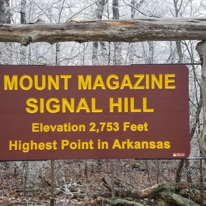
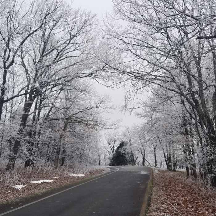
From the parking area, walk a short access path to the Signal Hill Trail loop and turn onto its north segment. The trail runs across a fairly level, wooded area heading north past the junction with the spur to the Lodge, then curves west and begins climbing. The final stretch steepens gradually as it works up the north side of Signal Hill to the summit (2,753'), Arkansas's highest point, marked by a stone monument built from rock representing the state's six natural divisions, along with a mailbox-style log box and a bench.
Return by retracing the same segment back down to the parking area.
No Condition Reports
Mount Magazine State High Point
Mount Magazine State High Point
Cedar Falls Overlook to Rockhouse Cave
Cedar Falls Overlook to Rockhouse Cave
LOViT: Ode to Bench
LOViT: Ode to Bench
Lake Ouachita Vista Trail (LOViT)
Lake Ouachita Vista Trail (LOViT)
Whitaker Point Trail + Hawksbill Crag
Whitaker Point Trail + Hawksbill Crag
Rich Mountain Trail
Rich Mountain Trail
Contributors

