Ready to explore this trail?
View Trail Map in AppPath Type
There and Back
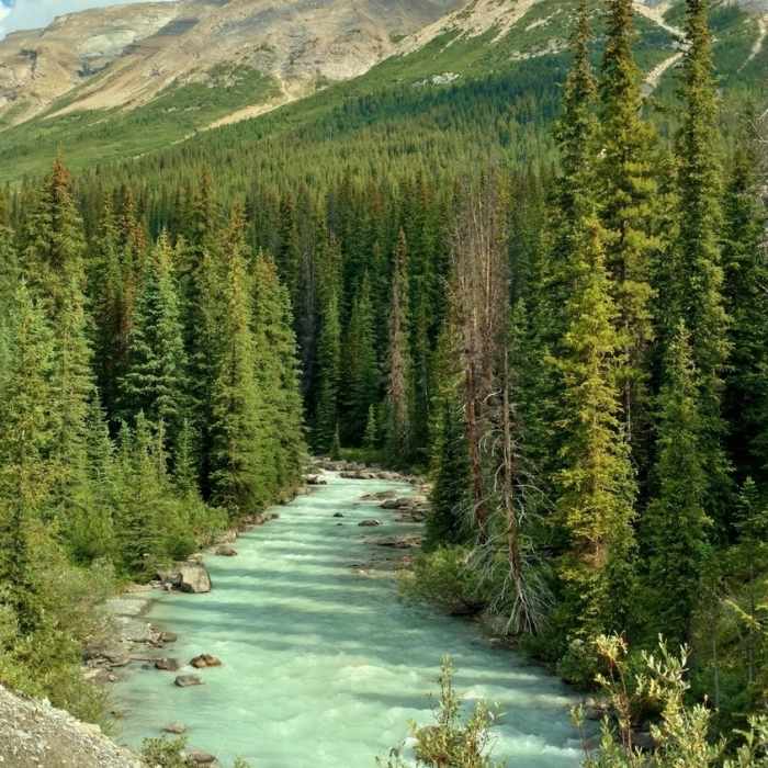
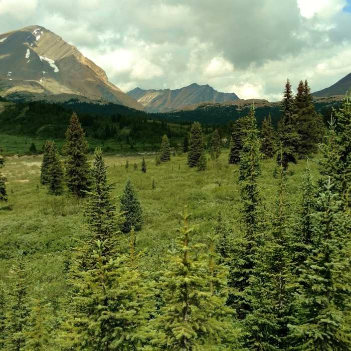
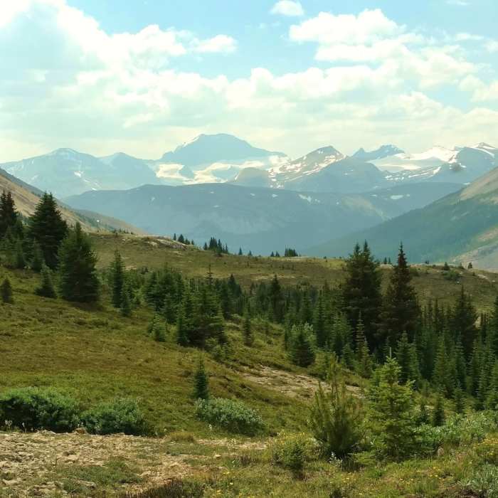
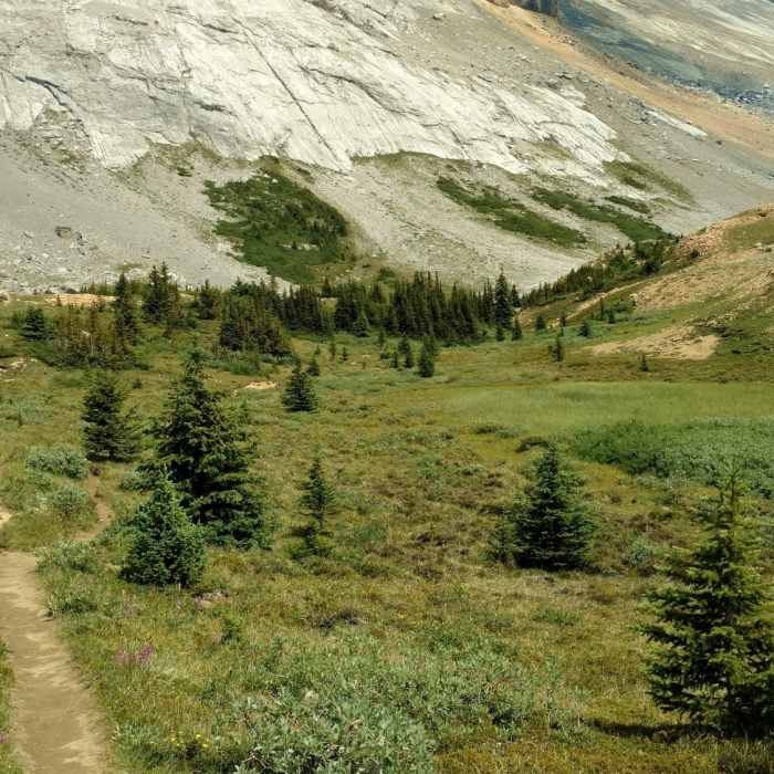
The Nigel Creek Trailhead and trail to Nigel Pass can be found on the east side of Icefields Parkway (93) just south of the Columbia Icefields.From the trailhead, the trail to Nigel Pass heads north along Nigel Creek (to the right of the trail) on a flat fire road through fir forest for the first 1.1 miles. At this point there is a sign showing that the hiking trail turns right, off of the fire road, onto singletrack trail. Nigel Creek is crossed via a log bridge almost immediately, and the trail then climbs through the fir forest as it follows Nigel Creek (now to the left of the trail) upstream. The trees thin as the trail climbs, and views of the mountains to the south emerge. Continuing to climb, the firs become sparser and the trail runs through meadows with mountains rising on both sides of the Nigel Creek valley that the trail runs through. After a final push, Nigel Creek peters out and Nigel Pass is reached at the 4.8 mile mark.The Brazeau River is just a few steps further and a great place to take a break and have a snack or lunch. After enjoying the views, river, and pass, return to the trailhead by hiking down the trail the way you came up.
All Clear
Looking for more condition reports?
Brazeau Loop
Brazeau Loop
Peyto Lake and Payto Glacier Viewpoint
Peyto Lake and Payto Glacier Viewpoint
Skyline Trail
Skyline Trail
Evelyn Creek/Skyline Trail
Evelyn Creek/Skyline Trail
Yoho Valley Loop
Yoho Valley Loop
Mount Edith Cavell Tour
Mount Edith Cavell Tour
Contributors

