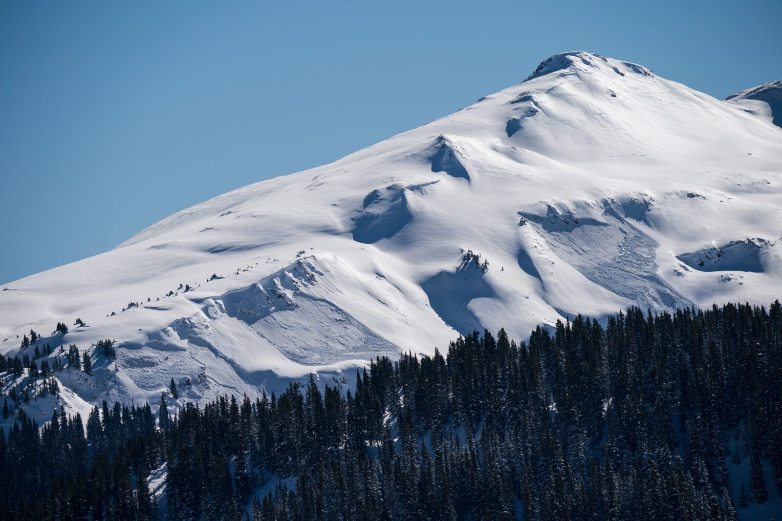
SWS Mountain Guides + onX Backcountry
onX and SWS, CSG & CRG have teamed up to offer you the ultimate offline backcountry skiing and splitboarding GPS maps for 3 months FREE or save 40% off.

Go all-in for Backcountry.
Want to skip the 3 month trial and sign up for a full year of the ultimate offline backcountry Ski and Splitboard GPS navigation maps? For a limited time, you can take 40% off onX Backcountry using the promo code SWS40. Click the link below.
Start Your Free Trial
This link has expired. For more information on onX Backcountry, please visit www.onxmaps.com/backcountry.
New Tools & Features for Winter 23/24
New Tools & Features for Winter 23/24
onX Backcountry worked with forecasters, educators, guides and other industry professionals alike to develop powerful new tools for Winter 23/24. Check out how these can improve and change how you plan and operate in the backcountry.
Videos
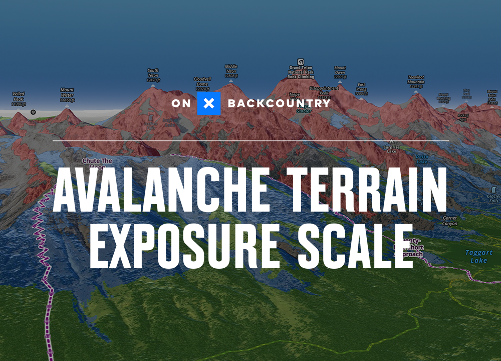
Avalanche Terrain Exposure Scale
Duration 3:25
Not all exposure in avalanche terrain is equal. When you plan a tour, it’s important to ask yourself, “If an avalanche were to occur, would I be exposed or not?” onX Backcountry’s ATES Layer helps you calibrate your plan considering the available options for avoiding potential hazards in the backcountry. Reading the avalanche forecast in concert with ATES and your accurate observations in the field can help you identify what terrain is “open” and “closed” for that day.
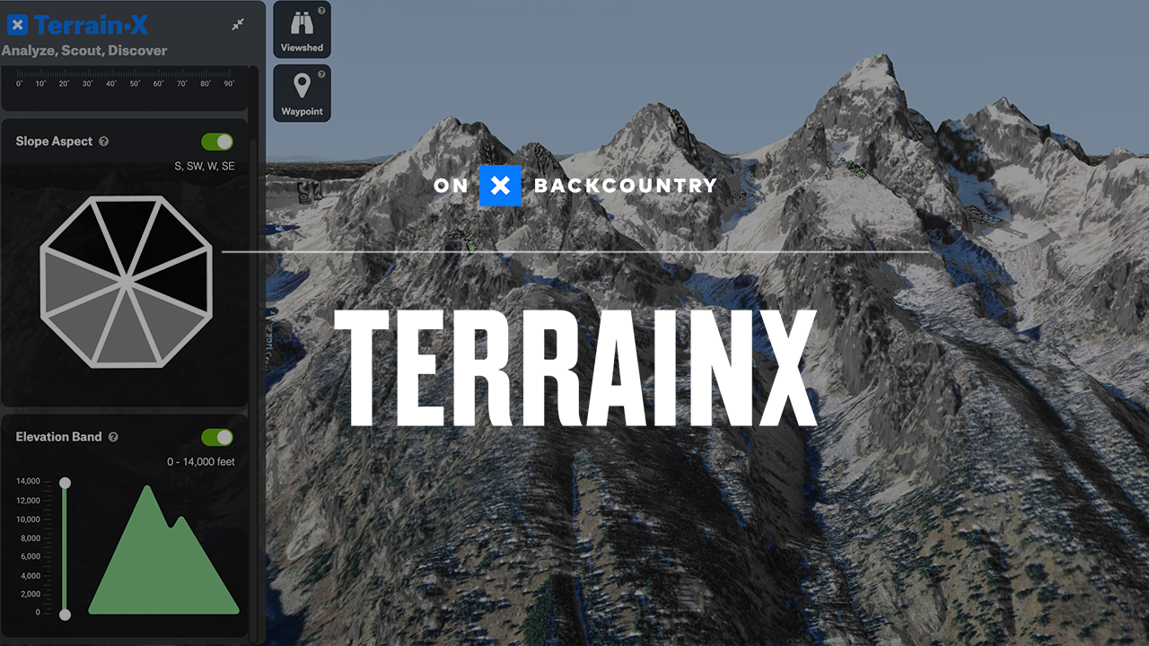
TerrainX
Duration 3:48
When reading your local avalanche forecast, there’s a lot to consider when planning a day in the backcountry. onX Backcountry’s TerrainX is a powerful tool to visualize potential hazard areas based on your local avalanche forecast and helps you make more informed decisions efficiently in the planning process.
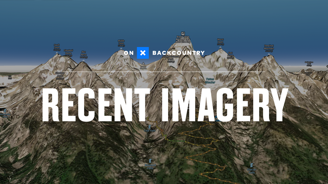
Recent Imagery
Duration 2:23
Whether you’re looking for early-season snowfall in the high country or late-season ski lines, onX Backcountry’s Recent Imagery feature can help give you an eye on what the terrain might look like as you plan your next tour. Recent imagery is updated every 14 days so you can have an eye in the sky on recent conditions. Each update is saved in the timeline so you can look back at typical snow coverage historically.
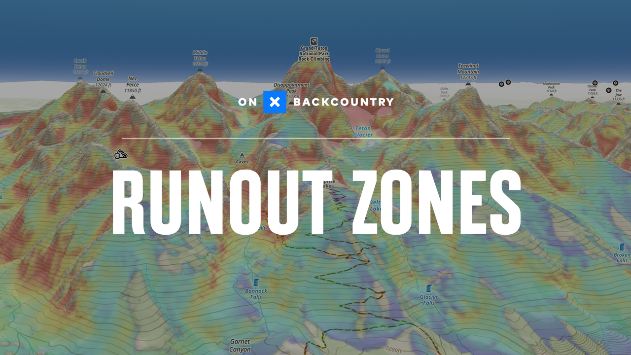
Avalanche Runout Zones
Duration 2:00
Alpha angles made easy. Identify your margins in the situation of a slide.
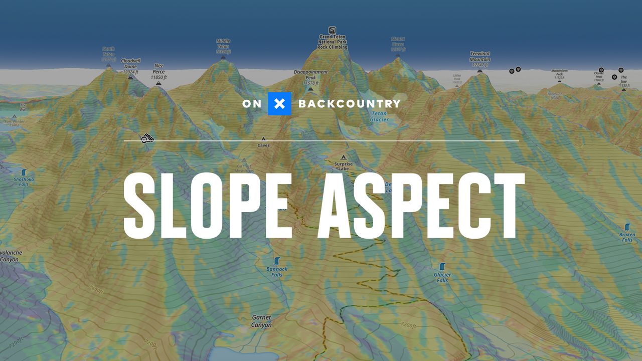
Slope Aspect Shading
Duration
Visualize the direction slopes are facing to help you determine where avalanche problems may exist.
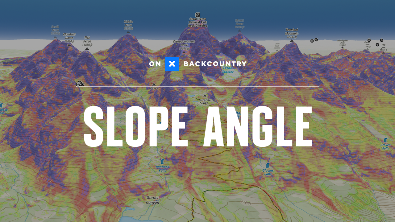
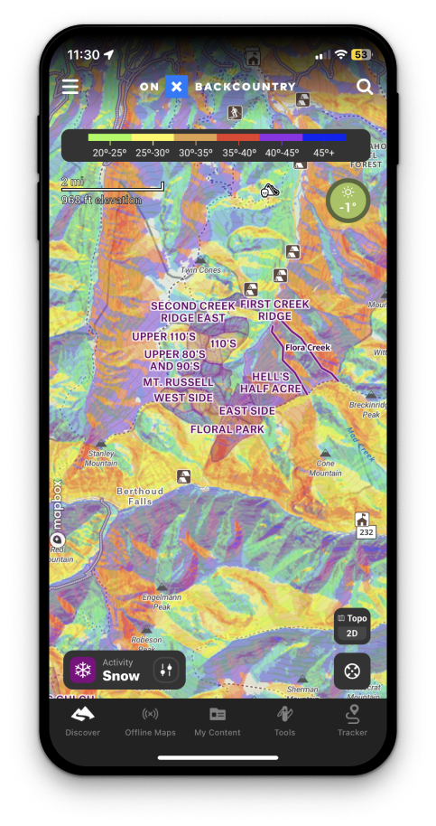
Slope Angle Shading
Duration 2:08
Color coded so you can visualize slope steepness and make a choice about what slopes you will travel on based on the avalanche forecast.
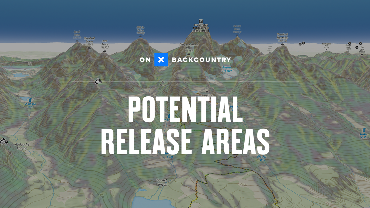
Potential Release Areas
Duration 1:02
Integrating elevation modeling, forest density data and terrain characteristics to give you a color coded estimate of where avalanches may begin.