onX Backcountry
Thanks for being a Loveland Patroller! Try the ultimate offline backcountry skiing and splitboarding GPS maps for 1 years FREE.
Valid only through onxmaps.com through 11:59pm MDT on March 1st, 2023

Start Your Free Trial
This link has expired. For more information on onX Backcountry, please visit www.onxmaps.com/backcountry.
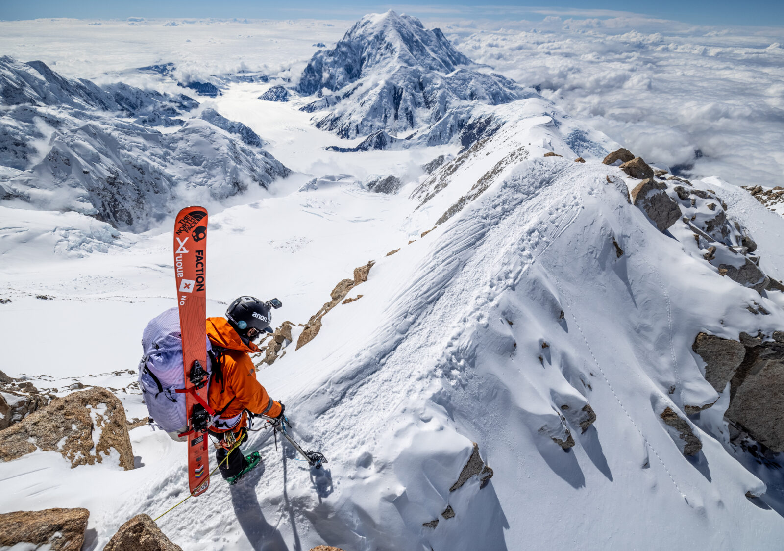
About onX Backcountry
With onX Backcountry, you have a suite of tools at your fingertips to make better decisions in the backcountry. With guidebook quality route descriptions, detailed topo & 3D maps, slope angle & aspect maps, and avalanche observations and fatalities you will have all of the tools you’ll need in one app.
Avalanche Reports and Observations
onX Backcountry has partnered with Avalanche Centers to show daily avalanche forecasts, avalanche observations, and historic avalanche fatalities.
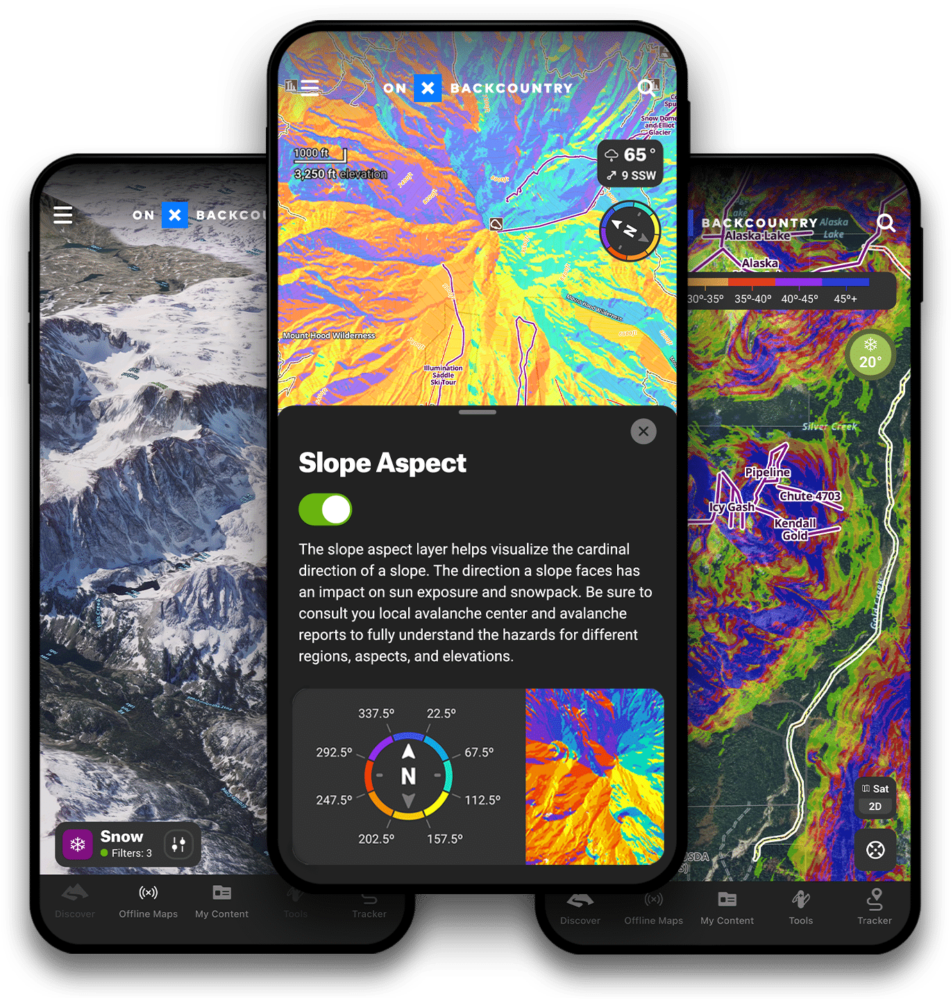
Slope Angle & Slope Aspect Maps
Use Slope Angle and Slope Aspect shading to evaluate the terrain you will be touring in. Utilize Slope Angle and Aspect in conjunction with the days avalanche report to plan a safer tour.
3D Maps
Visualize your objective in 3D with onX Backcountry. Explore backcountry zones in stunning detail, view waypoints, tracks, and terrain features in 3D before hitting the skin track.
Offline Maps
Offline Maps allow you to view detailed maps and your current location without the need for cell service. Download offline maps before you head out on your next tour.
Snotel
View current snow depth, temperatures, and 24 hr accumulations from Snotel sites in the backcountry to optimize your powder day.
Backcountry Ski & Splitboard Routes
View Backcountry Ski and Splitboard routes in Utah to help plan your tour. Featuring guidebook quality descriptions, onX Backcountry can help you discover new areas and objectives.