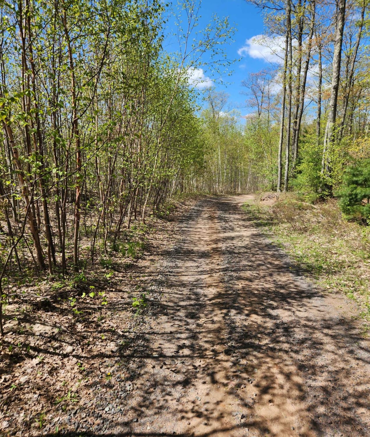
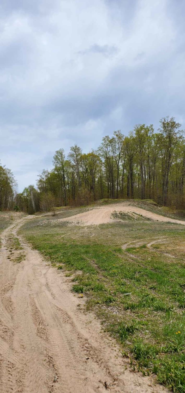
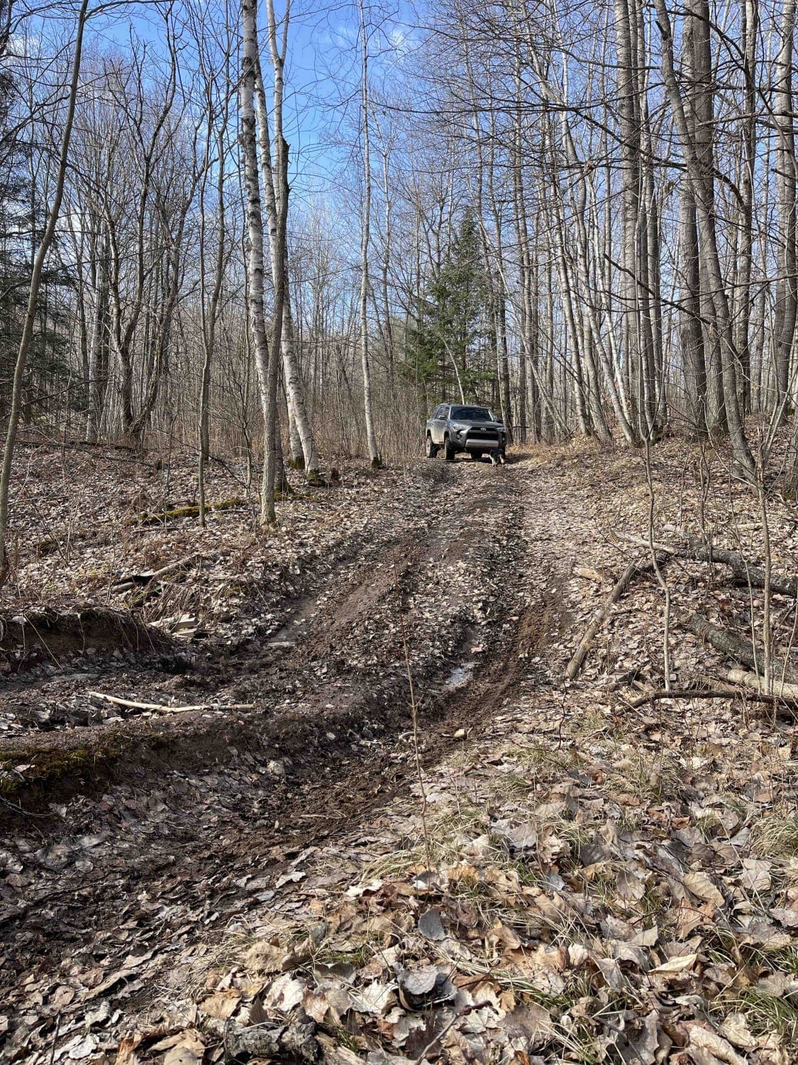
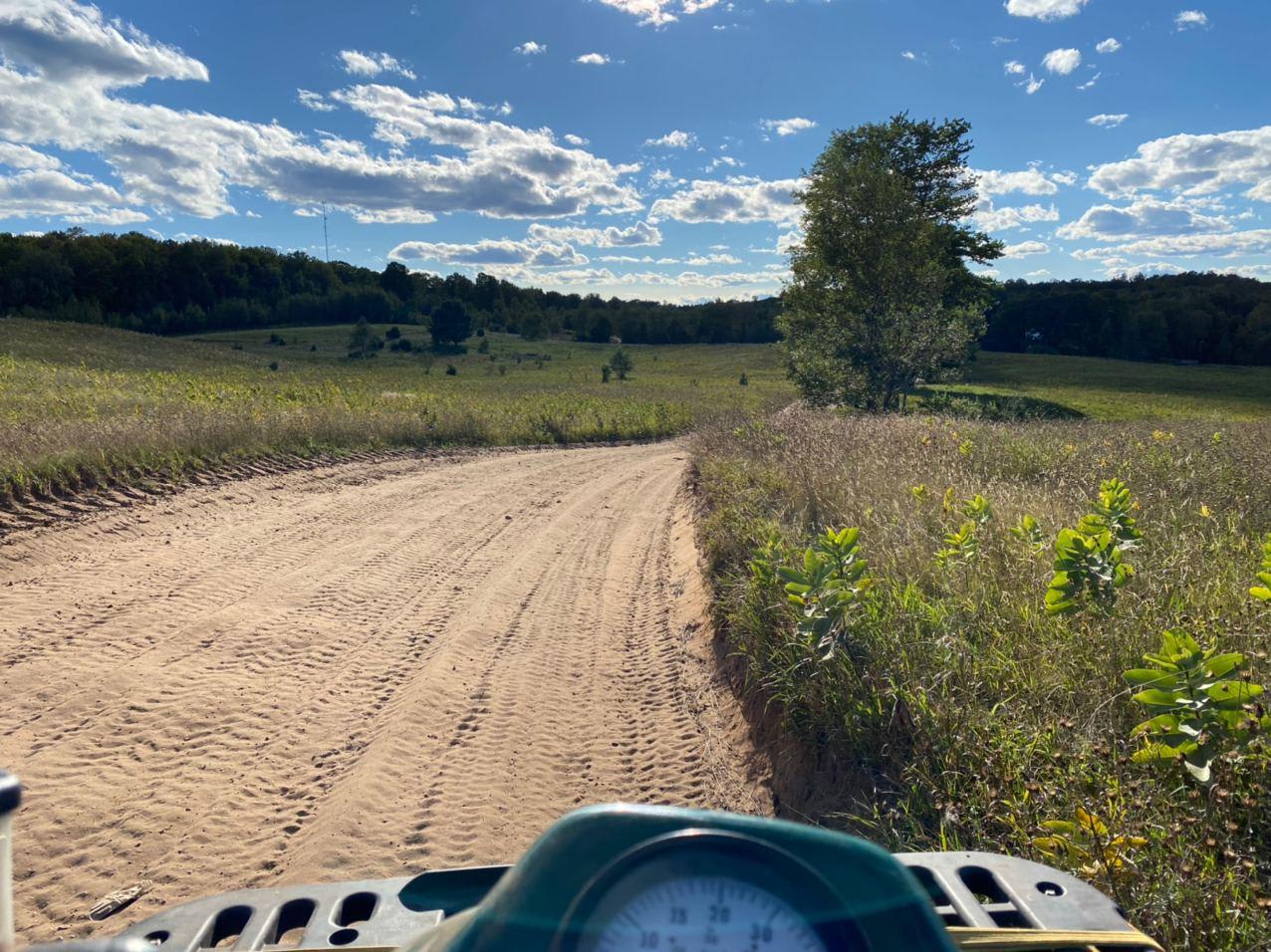
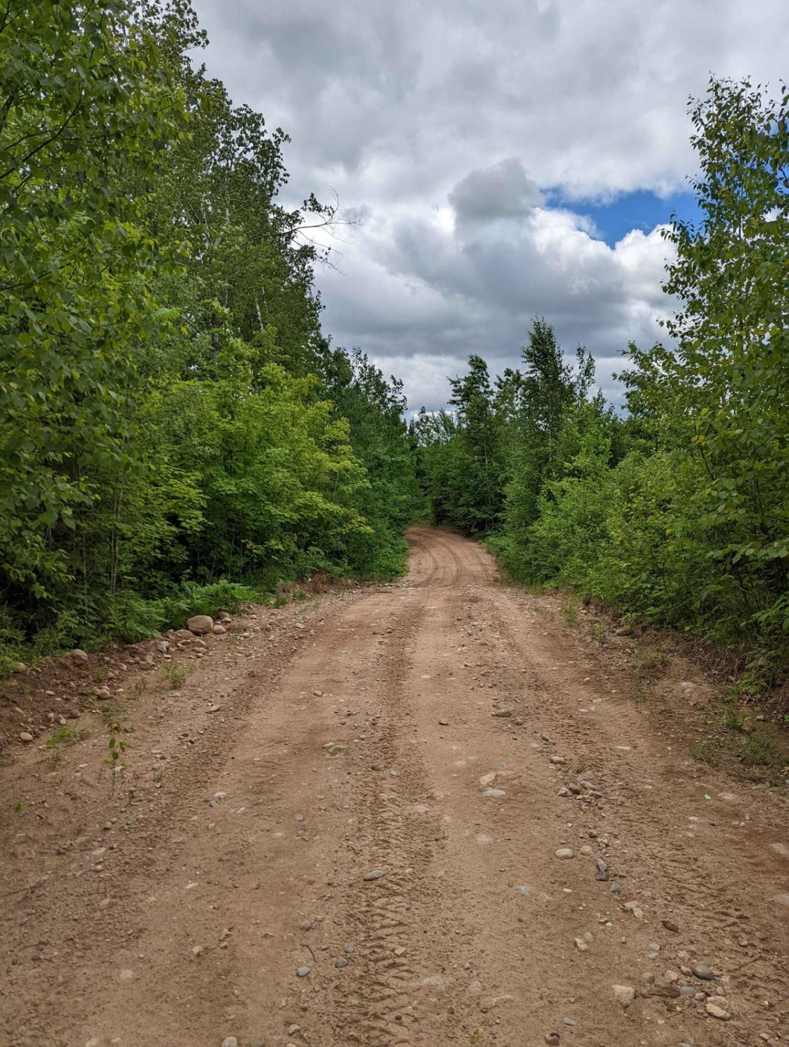
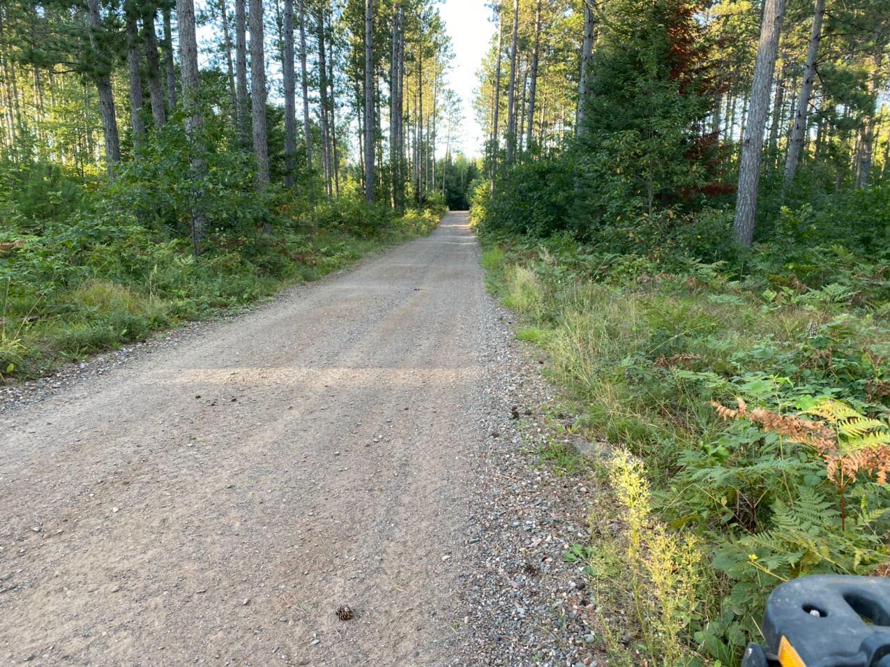
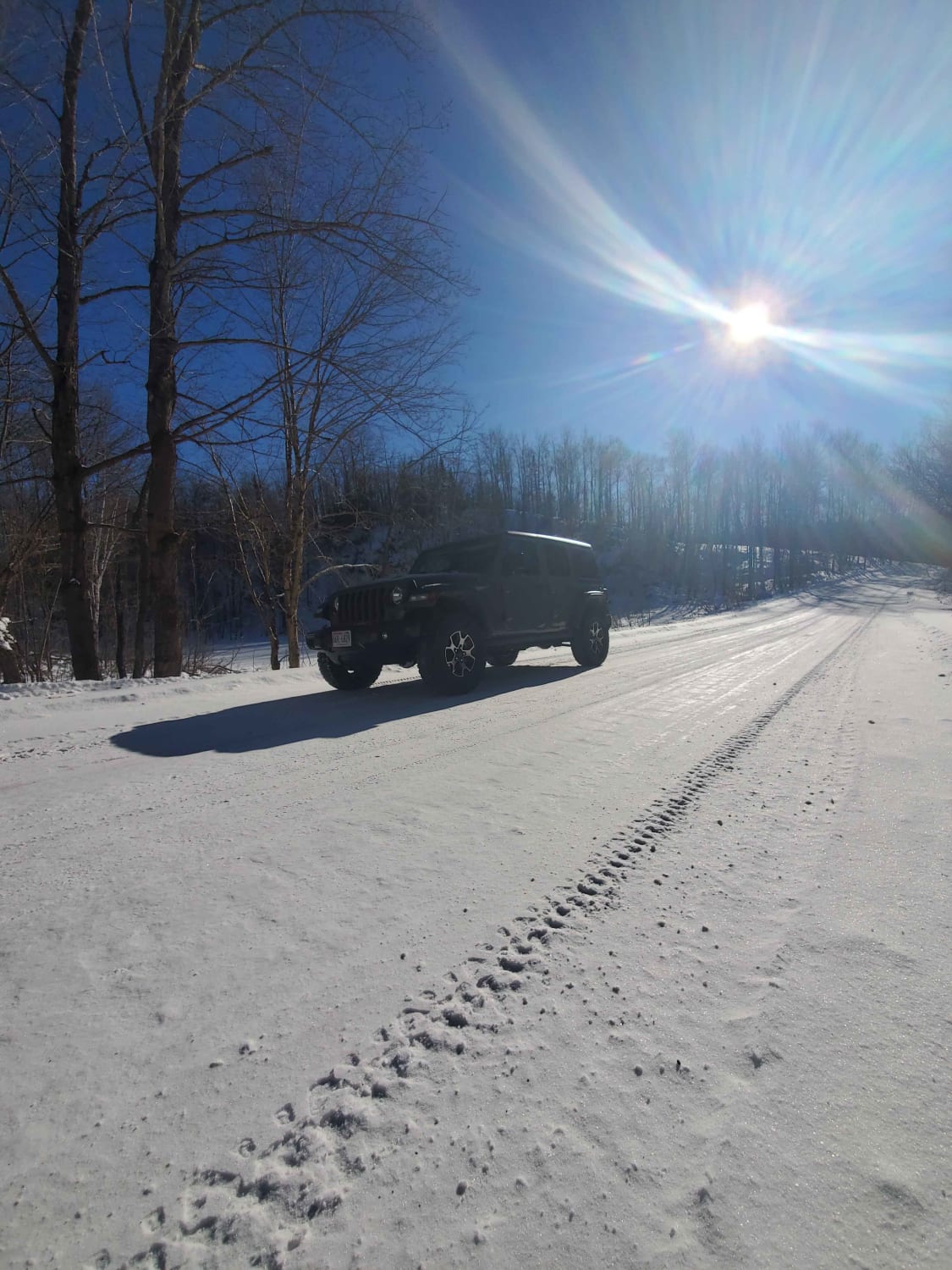
Off-Road Trails in Wisconsin
Discover off-road trails in Wisconsin
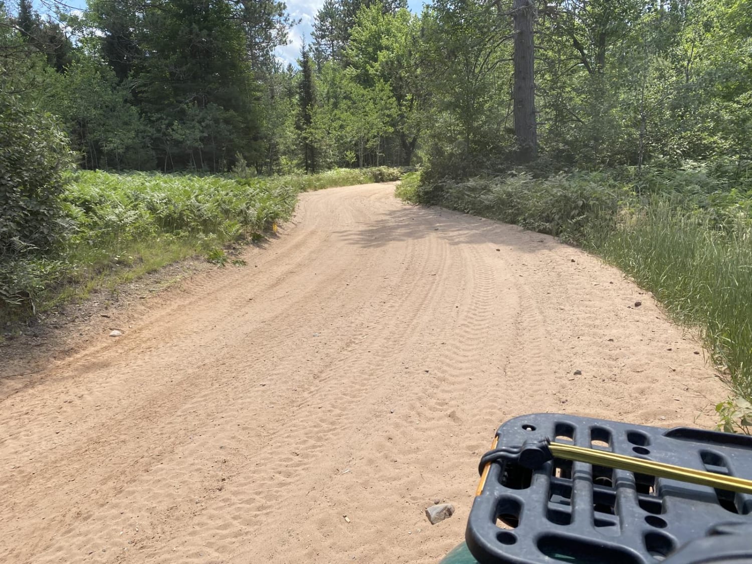
Learn more about #409-425 Pipeline Road to HWY 64 East
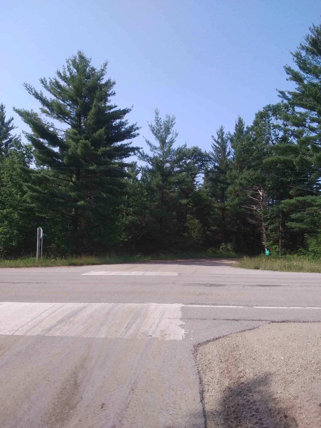
#409-425 Pipeline Road to HWY 64 East
Total Miles
31.2
Tech Rating
Easy
Best Time
Spring, Summer, Fall
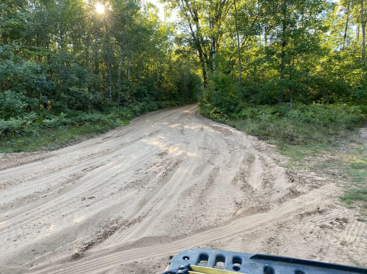
Learn more about Ada Lake Camp Route
Ada Lake Camp Route
Total Miles
12.7
Tech Rating
Easy
Best Time
Summer, Fall, Spring
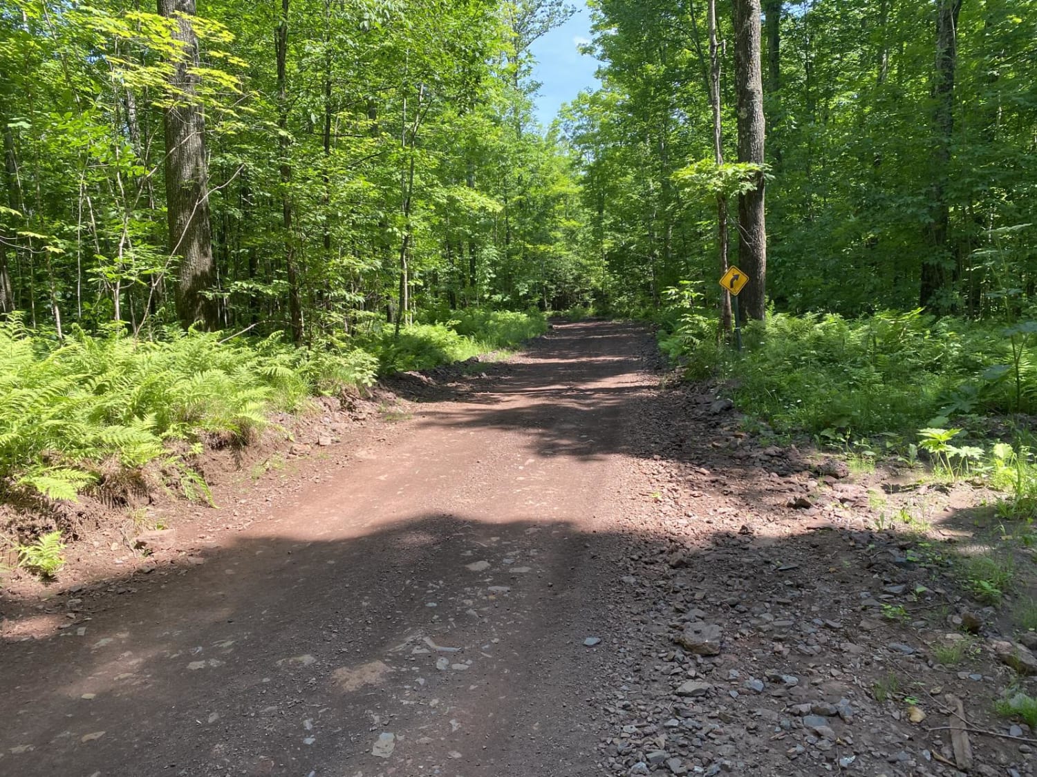
Learn more about Barrens Loop
Barrens Loop
Total Miles
2.7
Tech Rating
Easy
Best Time
Summer, Winter, Fall, Spring
Learn more about Bayfield Timber Trail
Bayfield Timber Trail
Total Miles
4.2
Tech Rating
Easy
Best Time
Fall, Summer, Spring
Learn more about Brady Trail
Brady Trail
Total Miles
2.8
Tech Rating
Easy
Best Time
Summer, Fall, Spring
Learn more about Butler Rock Loop

Butler Rock Loop
Total Miles
15.7
Tech Rating
Easy
Best Time
Fall, Summer
Learn more about Chequamegon-Nicolet National Forest - Knowles Creek Road
Chequamegon-Nicolet National Forest - Knowles Creek Road
Total Miles
33.3
Tech Rating
Easy
Best Time
Summer
Learn more about Dead End Road
Dead End Road
Total Miles
0.9
Tech Rating
Easy
Best Time
Spring, Summer, Fall, Winter
Learn more about DunGood Trail
DunGood Trail
Total Miles
12.6
Tech Rating
Easy
Best Time
Spring, Summer, Fall
Learn more about East Nickel
East Nickel
Total Miles
2.7
Tech Rating
Easy
Best Time
Summer, Fall, Spring
Learn more about F15 Trail
F15 Trail
Total Miles
24.8
Tech Rating
Easy
Best Time
Spring, Summer, Fall
Learn more about GG to Highbridge
GG to Highbridge
Total Miles
11.3
Tech Rating
Easy
Best Time
Summer, Fall
Learn more about Great Bear Trail
Great Bear Trail
Total Miles
22.2
Tech Rating
Easy
Best Time
Summer
Learn more about Half Nelson - West
Half Nelson - West
Total Miles
4.5
Tech Rating
Easy
Best Time
Fall, Summer, Spring
Learn more about Harrison Hills Trails
Harrison Hills Trails
Total Miles
65.0
Tech Rating
Moderate
Best Time
Spring, Summer, Fall
Learn more about Horseshoe Lake
Horseshoe Lake
Total Miles
7.2
Tech Rating
Easy
Best Time
Fall, Summer, Spring
Learn more about Keyes Lake Loop
Keyes Lake Loop
Total Miles
4.2
Tech Rating
Easy
Best Time
Spring, Summer, Fall
Learn more about La Salle Trail
La Salle Trail
Total Miles
22.9
Tech Rating
Easy
Best Time
Spring, Summer, Fall
Learn more about Lake Emily to Spread Eagle
Lake Emily to Spread Eagle
Total Miles
17.1
Tech Rating
Easy
Best Time
Spring, Summer, Fall
Go Farther
Try onX Offroad Elite for free for a week — no strings attached. Get access to thousands of off-road dirt trails and snowmobile trails across the nation. View your favorite zones in 3D. Send trails to friends. Start planning the trip of a lifetime now.