2 trails found in Utah
Which "upper 2 mile loop" are you looking for?
We found 2 off-road trails in Utah matching your search. Pick the one you're looking for below.
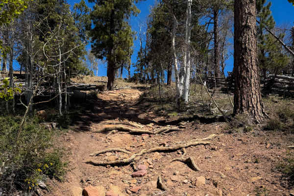
Upper 2 Mile Loop Connector
This is an easy connector piece of the Upper 2 Mile ATV Loop that is just under a mile long. The south end starts at an unmarked entrance off of 154 (Rim Rocker trail), and it climbs up a short hill with a few loose rocks, onto a grassy, faint track. The trail rides through some aspen trees and pine...
Learn more about Upper 2 Mile Loop Connector
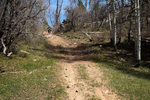
Upper 2 Mile Loop
This is a 2-mile-long section of ATV trail that rides through a scenic forest of aspens. The north end starts on a flat hill top through grassy meadows, but it immediately starts descending gradually through the forest, with minor rocky sections, and potential for big log hazards from new downfall. ...
Learn more about Upper 2 Mile Loop