2 trails found in Oregon
Which "trail 31" are you looking for?
We found 2 off-road trails in Oregon matching your search. Pick the one you're looking for below.
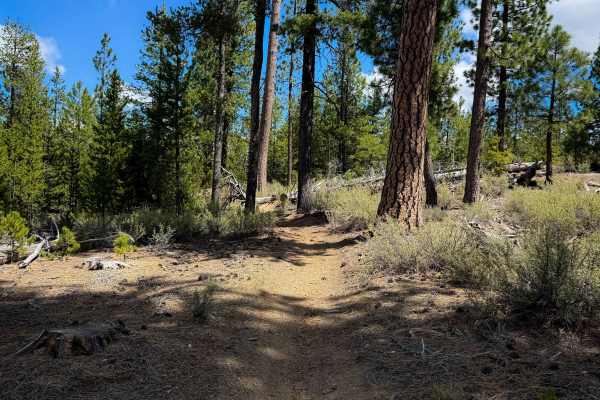
Trail 31
Trail 31 is an easy 2.2-mile segment of ATV trail in the Rivers South OHV Area. Although designated for 50-inch ATVs, parts of the trail are rather tight between the lodgepole pines that closely line the trail, making it less ideal for ATVs, and the trail looks mostly ridden by dirt bikes. There are...
Learn more about Trail 31
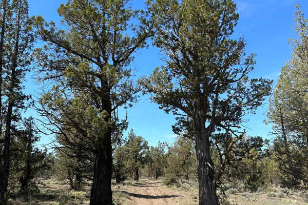
Cline Butte Trail 31
This is a really fun trail to hit with almost any vehicle. Sprinter-type vans would be too tall for some of the low-hanging trees. Starting out at the staging area, travel West across the rocky powerline road until you hit the trailhead. The trail consists of rock gardens and fast sandy flow trails.
Learn more about Cline Butte Trail 31