10 trails found in Missouri
Which "4" are you looking for?
We found 10 off-road trails in Missouri matching your search. Pick the one you're looking for below.
Sutton Bluff ATV 4 South - SB 4
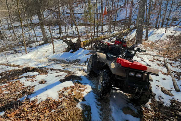
Sutton Bluff ATV 4 (South Section), also known as Hill Valley, with the legal/emergency ID SB 4, is a 50-inch and under restricted trail within the Sutton Bluff OHV trail system, managed by the Mark Twain National Forest Salem Unit. The SB 4 South is apart of the "far east section" of Sutton Bluff O...
Learn more about Sutton Bluff ATV 4 South - SB 4
Sutton Bluff ATV 4 North - SB 4
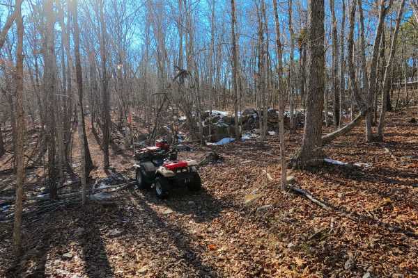
Sutton Bluff ATV 4 (North Section), also known as Boulder Clearing, with the legal/emergency ID SB 4, is a 50-inch and under restricted trail within the Sutton Bluff OHV trail system, managed by the Mark Twain National Forest Salem Unit. The SB 4 North is a part of the "far east section" of Sutton B...
Learn more about Sutton Bluff ATV 4 North - SB 4
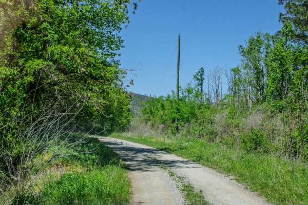
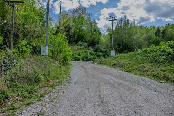
Service Road 4 (SR 4)
One of our main service roads that leads to trails, SR 4 is rocky in some areas. It's a very wide road that is very dusty if the ground is dry. The road is used by EMS/the Rescue Squad if needed. There are a couple of curves but it's mainly a straight road that leads to the bridge crossing. It's rea...
Learn more about Service Road 4 (SR 4)
5 to 4 Road
The 5 to 4 Road is a semi-maintained, creek gravel and dirt primary road connecting point to point from the 5 intersection and going downhill to the 4 intersection in Turkey Bay OHV, within the Land Between the Lakes National Recreation Area. Its official ID is forestry M01. The road on its eastern ...
Learn more about 5 to 4 Road
RBW 4
RBW 4 is a two-way gravel road that begins where RBW 7 ends and continues up the mountain toward a gated elk hunting area. This route is wide enough for vehicles to pass in most areas and has no major obstacles along the main road. The gravel surface is generally easy to travel, making this more of ...
Learn more about RBW 4
3 to 4 Road
The 3 to 4 Road, is a semi-maintained creek gravel and dirt primary road, connecting point to point from the 3 intersection to the 4 intersection in Turkey Bay OHV, within the Land Between the Lakes National Recreation Area. Its official ID is part of Forestry M01. The Road is a short and simple exa...
Learn more about 3 to 4 Road
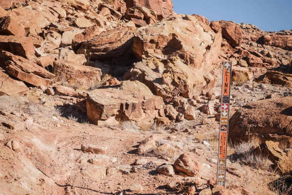
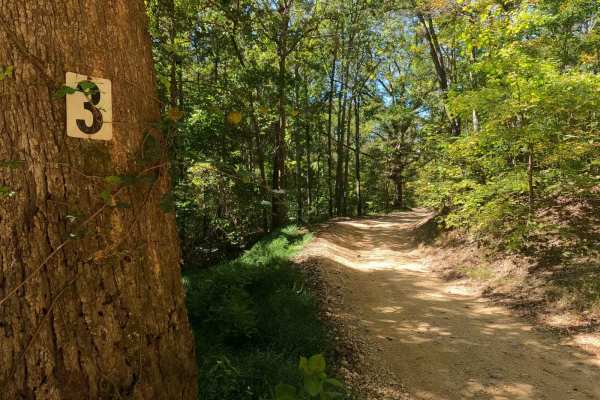
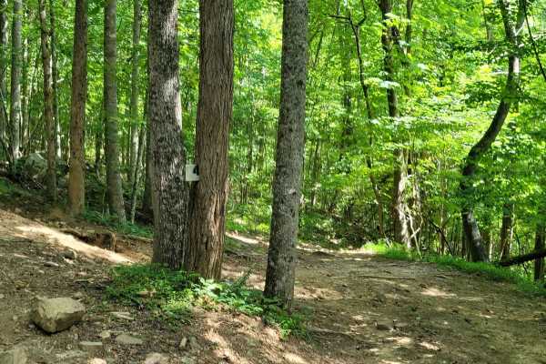
Link 4 (Easy)
This segment of Link 4 is a quick connector trail that is an easy way to connect from the west side of the loop (Salt Wash Trail) to the east side of the loop (Sovereign Trail) and vice versa. You'll see signs for Link 4 while riding towards it on segments of the Sovereign Trail, indicating you are ...
Learn more about Link 4 (Easy)
4 - Mars
AOP Trail 4 - Mars is a short and simple connector trail that features a hard-packed route with lots of smaller rocks with little to no mud. While Trail 4 - Mars does not have any difficult features, it is a great trail to tie into others to make a good cruising route.
Learn more about 4 - Mars
4 Lane
4 Lane is a long, two-way trail made up mostly of dirt with some gravel mixed in. The trail connects from Moores Camp off Road 116 on the west side and runs toward the WMA boundary. At the fork near the end, the route continues, but that point marks the start of a different trail. This makes 4 Lane ...
Learn more about 4 Lane
Middle Bays Trail - 4 to A Road
The Middle Bays Trail/4 to A Road, connecting the two middle bays within the OHV park, is a semi-maintained creek gravel and dirt primary road with natural tendencies. It connects point to point from the 4 intersection near Turner Hollow/North Middle Bay to the A intersection near Hendon Cemetery/So...
Learn more about Middle Bays Trail - 4 to A Road