10 trails found
Which "mountain road" are you looking for?
We found 10 off-road trails matching your search. Pick the one you're looking for below.
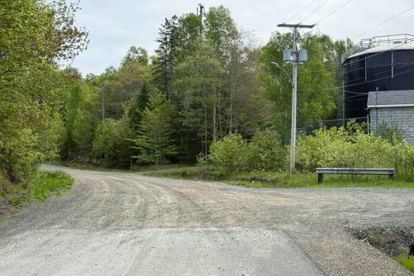
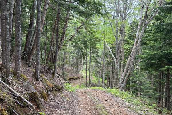
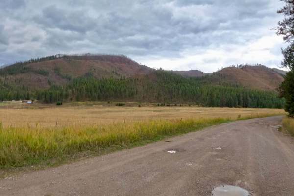
Whycocomagh Mountain Road Trail
Whycocomagh Mountain Road Trail serves as a main entrance into the trail network and is made up of two sections: Whycocomagh Mountain Road and Geldart Road. Starting at Highway 105 across from the Whycocomagh Waterfront Centre, the first 700 metres are paved through a residential area. The trail off...
Learn more about Whycocomagh Mountain Road Trail
Gillanders Mountain Road East
Gillanders Mountain Road East begins near the eastern end of Mount Borden Road and starts off as a hard-packed dirt surface. As you descend, the terrain transitions to slightly rutted and muddy conditions in wet weather, followed by loose rock as the trail winds down the mountain. Expect small washo...
Learn more about Gillanders Mountain Road East
Cove Mountain Road South
This extension completes the Forest Service 40068 trail by the name Cove Mountain Road. It runs from just south of the Koosharem Cabin Rental south to the Paiute ATV Trail Dry Creek Monroe Mountains Loop. Parts of that loop are for 50-inch vehicles, but where this trail connects, it is full-width fa...
Learn more about Cove Mountain Road South
Lewis Mountain Road
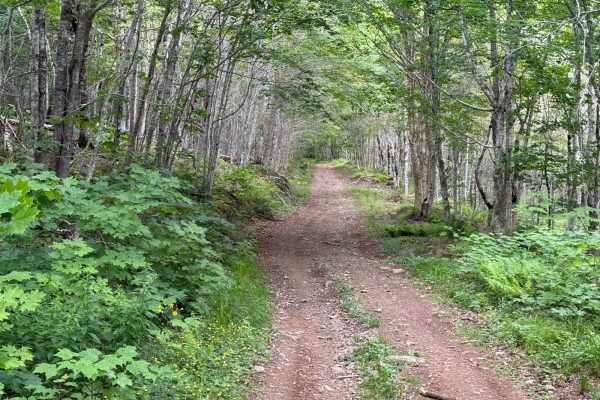
Lewis Mountain Road begins at the southern tip of Lake Ainslie and climbs southeast up Lewis Mountain toward Whycocomagh Mountain. The trail starts as a two-track, hard-packed dirt road with a small wash and a tight switchback at the base of the climb. The terrain becomes looser with scattered rock ...
Learn more about Lewis Mountain Road
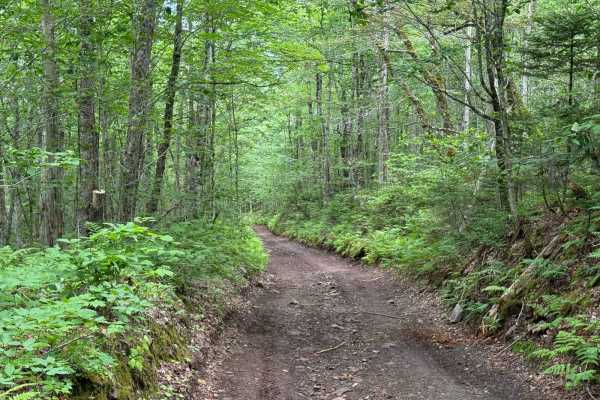
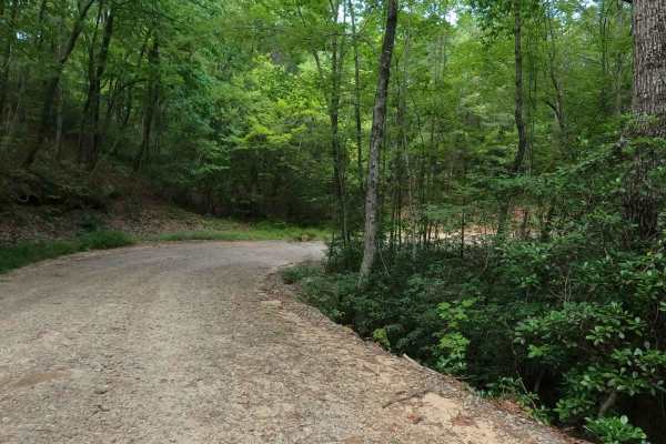
Gillanders Mountain Road West
Gillanders Mountain Road (West) is a narrow, single-lane trail that follows an old mountain road alignment. The surface is mostly hard-packed dirt with sections of exposed rock and loose gravel. The trail is cleared wide enough to avoid pinstriping from vegetation. Starting at the eastern entrance, ...
Learn more about Gillanders Mountain Road West
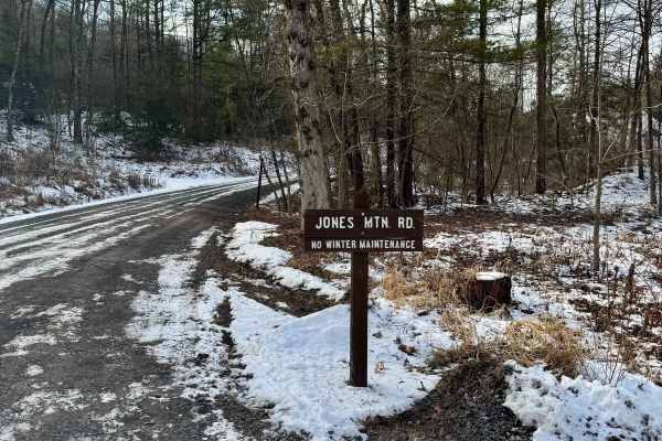
Jones Mountain Road
Jones Mountain Road is a graded gravel road. It is an easy ride in the summer months, however, there is no winter maintenance. During times of rain, snow, and ice, the road will become harder to travel on. Jones Mountain Road is within Bald Eagle State Forest. The Jones Mountain Road Vista is along ...
Learn more about Jones Mountain Road
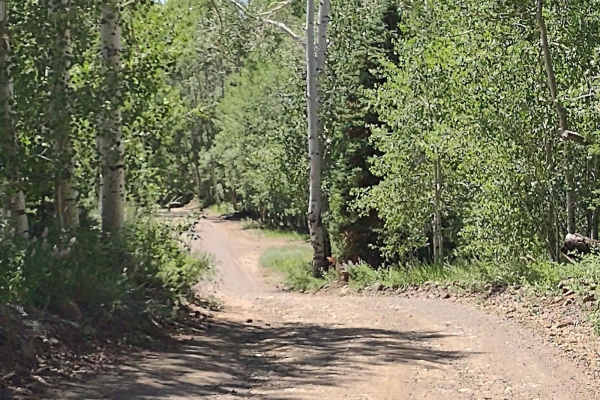
Greenhorn Mountain Road_ Forest Road 639
This is a wide gravel road that you can use to connect many trails in the area. To make loop routes you can go down Meadow Divide forest road 639 then come back up Salt Creek Rd forest road 409. There are also several roads that you can access at the beginning of the road as you turn of State Highw...
Learn more about Greenhorn Mountain Road_ Forest Road 639
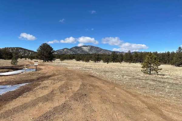
Round Mountain Road Forest Road 225
This road is easy when dry but can be real muddy when wet. Watch out for logging operations and trucks on the first part of road. Once on top, you are in open meadows and ponderosas with some nice views. The only places to camp are in the forest campgrounds; the area is closed to all other camping. ...
Learn more about Round Mountain Road Forest Road 225
Saint Pats Road-Cyr Iron Mountain Road
The route begins looking over farmland where deer, elk, and turkeys can be seen at times. The route is mainly made up of gravel with some loose rock in places. You should find cell service along the route. The route does a gradual climb of 1,000 feet to where you will get beautiful views of the Clar...
Learn more about Saint Pats Road-Cyr Iron Mountain Road
Rock Mountain Road
Rock Mountain Road is a gravel road that follows alongside the Rocky Mountain within the Chattahoochee-Oconee National Forest in Ruben County Georgia. The road primarily is used as a connection between the Camp Creek Road to the north and the Jane Hurt Yarn Road to the south that takes you to the T...
Learn more about Rock Mountain Road