Off-Road Trails in Louisiana
Discover off-road trails in Louisiana
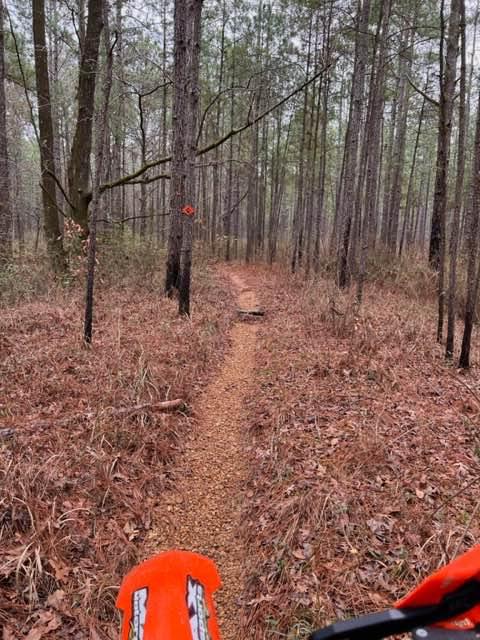
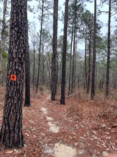
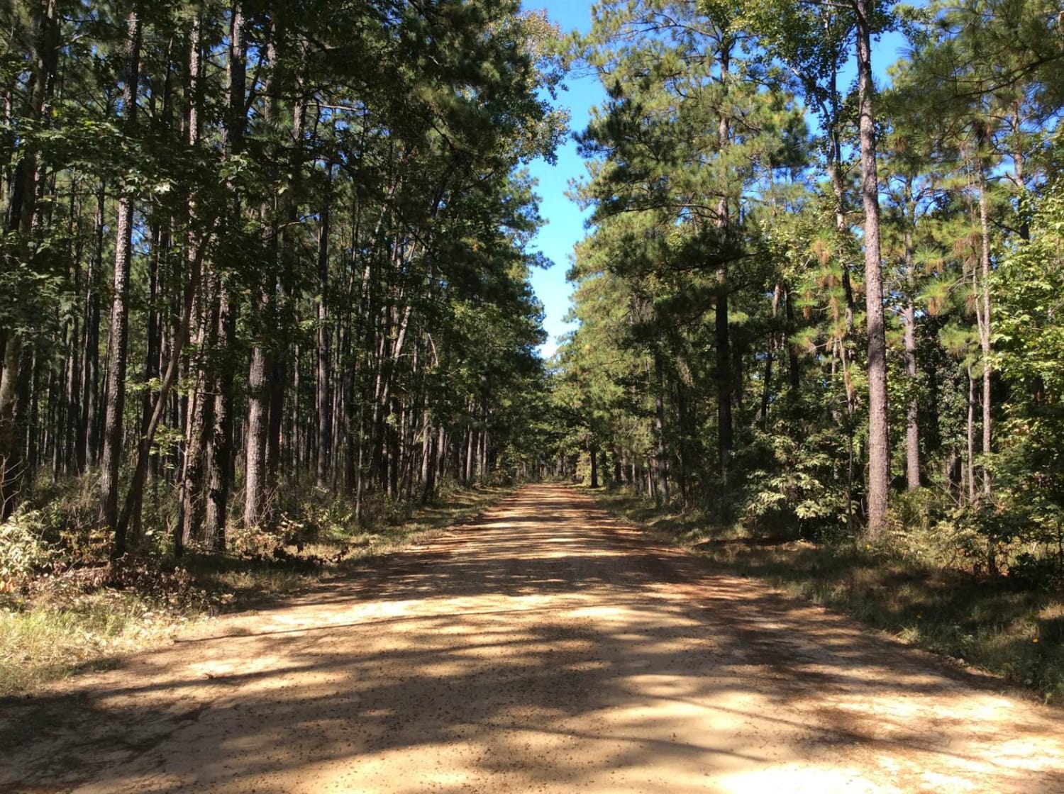
Learn more about Turkey Trot in the Kisatchie
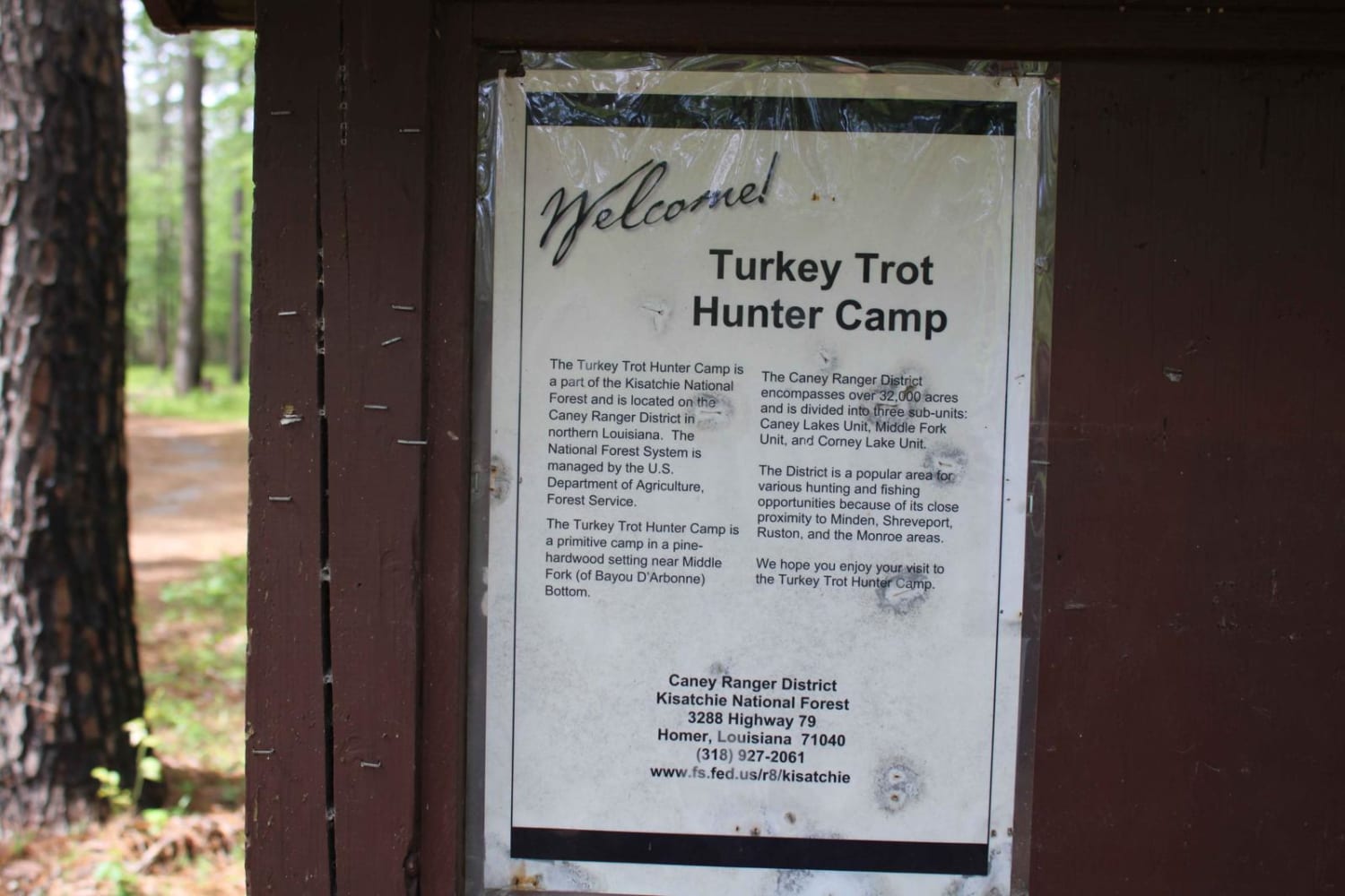
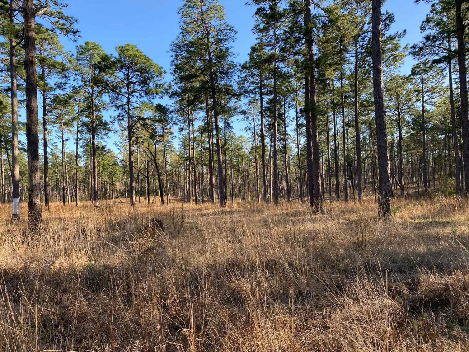
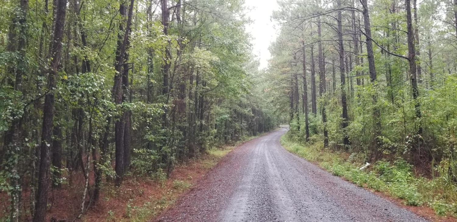
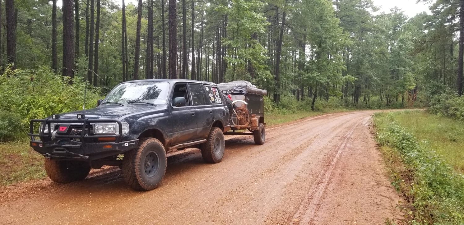
Turkey Trot in the Kisatchie
Total Miles
4.6
Tech Rating
Easy
Best Time
Spring, Summer, Fall, Winter
Learn more about 5338-W022B
5338-W022B
Total Miles
2.2
Tech Rating
Moderate
Best Time
Spring, Summer, Fall, Winter
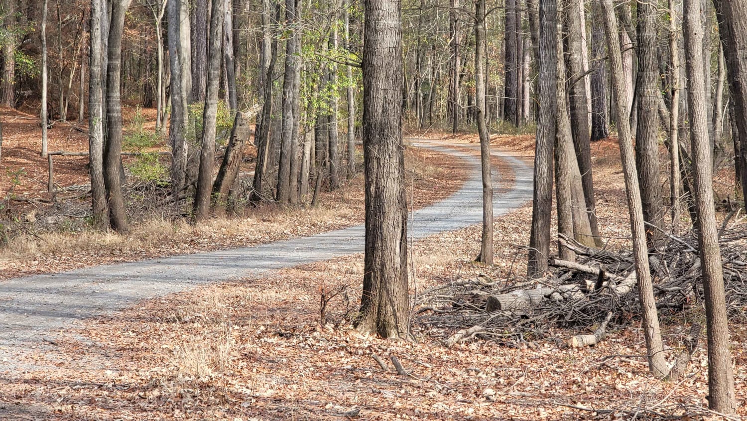
Learn more about 815 Road, Kisatchie NF
815 Road, Kisatchie NF
Total Miles
3.0
Tech Rating
Easy
Best Time
Spring, Summer, Fall, Winter
Learn more about 829 Road, Kisatchie NF
829 Road, Kisatchie NF
Total Miles
2.2
Tech Rating
Easy
Best Time
Spring, Summer, Fall, Winter
Learn more about 911 Colquitt
911 Colquitt
Total Miles
5.8
Tech Rating
Easy
Best Time
Spring, Summer, Fall, Winter
Learn more about Beulah Church Road
Beulah Church Road
Total Miles
7.2
Tech Rating
Easy
Best Time
Spring, Summer, Fall, Winter
Learn more about Black Mountain
Black Mountain
Total Miles
8.7
Tech Rating
Easy
Best Time
Spring, Summer, Fall, Winter
Learn more about Carthage Timberlands to Kisatchie
Carthage Timberlands to Kisatchie
Total Miles
4.9
Tech Rating
Easy
Best Time
Spring, Summer, Fall, Winter
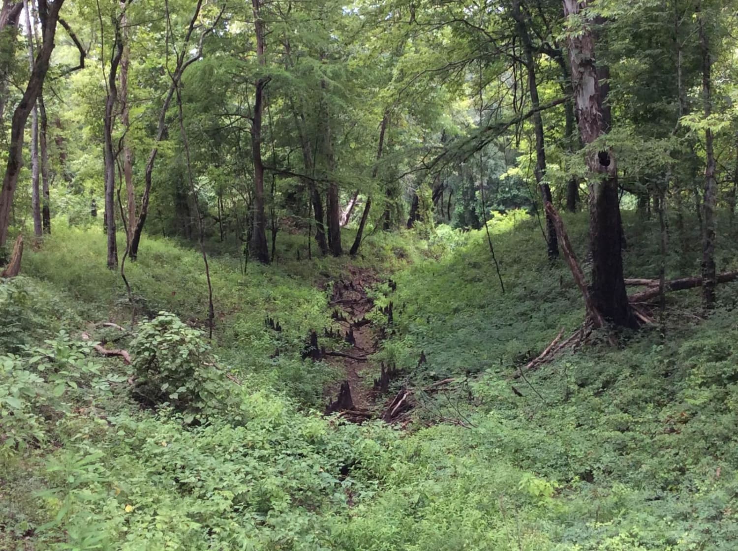
Learn more about Cat Island River Trail
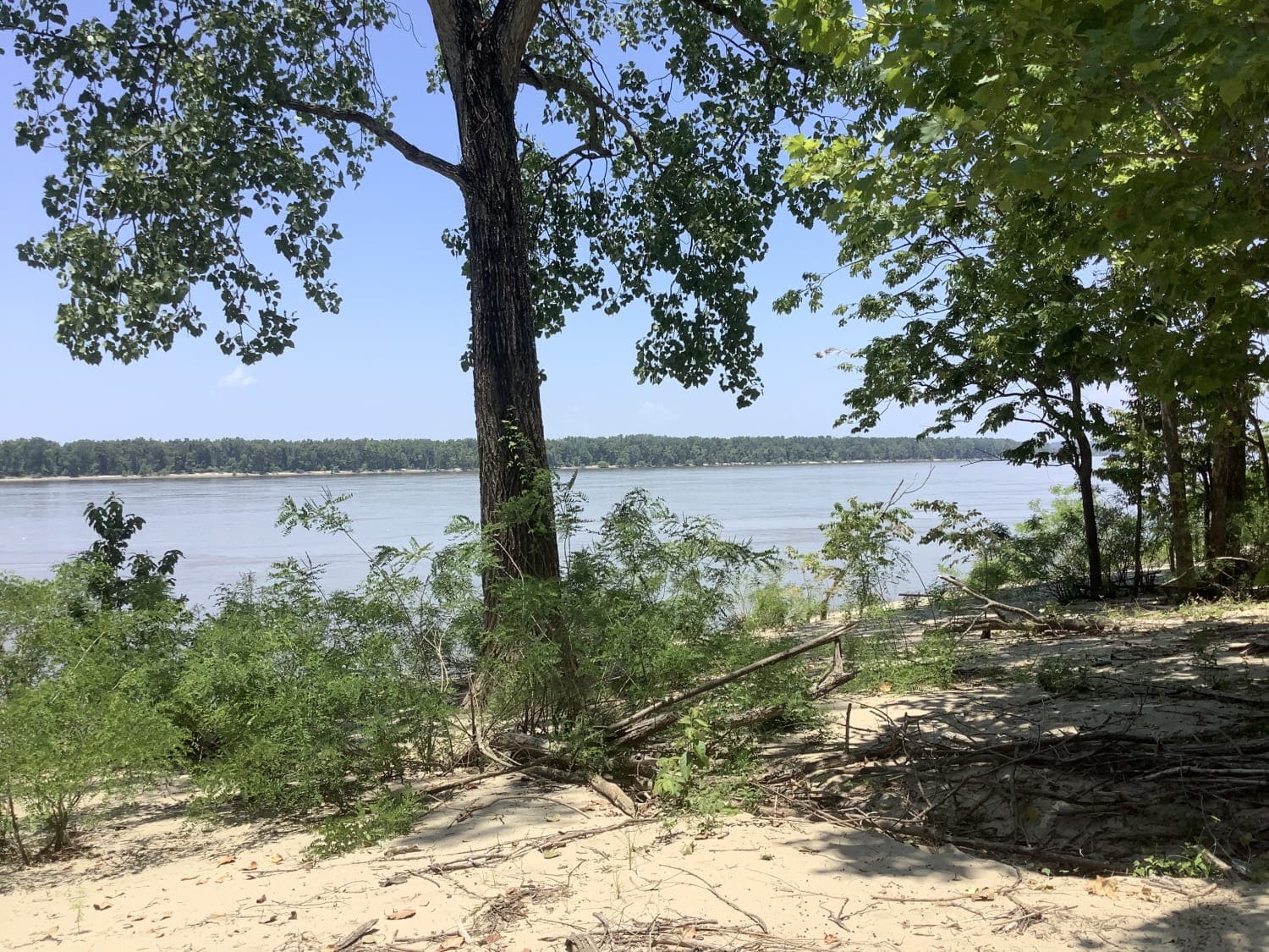
Cat Island River Trail
Total Miles
8.1
Tech Rating
Easy
Best Time
Summer, Fall, Winter
Learn more about Circle Through the Past in Kisatchie
Circle Through the Past in Kisatchie
Total Miles
6.6
Tech Rating
Easy
Best Time
Spring, Summer, Fall, Winter
Learn more about Claiborne "A" Loop
Claiborne "A" Loop
Total Miles
15.9
Tech Rating
Easy
Best Time
Spring, Fall, Winter
Learn more about Claiborne "B" Loop
Claiborne "B" Loop
Total Miles
10.1
Tech Rating
Easy
Best Time
Spring, Fall, Winter
Learn more about Clayton Holmes Rd
Clayton Holmes Rd
Total Miles
9.5
Tech Rating
Moderate
Best Time
Spring, Summer, Fall, Winter
Learn more about Collins Caney Telephone
Collins Caney Telephone
Total Miles
5.9
Tech Rating
Easy
Best Time
Spring, Summer, Fall, Winter
Learn more about Dewey Wills Wildlife Management Area (WMA) Cross Trail
Dewey Wills Wildlife Management Area (WMA) Cross Trail
Total Miles
21.8
Tech Rating
Easy
Best Time
Spring, Summer, Fall, Winter
Learn more about Dickerson Road (522)
Dickerson Road (522)
Total Miles
5.6
Tech Rating
Easy
Best Time
Spring, Summer, Fall, Winter
Learn more about Eastern Evangeline District Trail
Eastern Evangeline District Trail
Total Miles
17.4
Tech Rating
Easy
Best Time
Spring, Summer, Fall, Winter
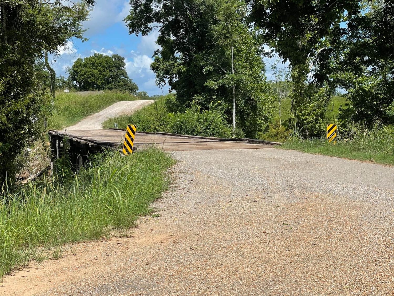
Learn more about Enter Bodcau Wildlife Management Area
Enter Bodcau Wildlife Management Area
Total Miles
7.9
Tech Rating
Easy
Best Time
Spring, Summer, Fall, Winter
Learn more about Grassy Lakes Wildlife Management Area (WMA) Central Trail
Grassy Lakes Wildlife Management Area (WMA) Central Trail
Total Miles
14.5
Tech Rating
Easy
Best Time
Spring, Summer, Fall, Winter
Learn more about Grassy Lakes Wildlife Management Area (WMA) South Trail
Grassy Lakes Wildlife Management Area (WMA) South Trail
Total Miles
14.6
Tech Rating
Easy
Best Time
Spring, Summer, Fall, Winter
Go Farther
Try onX Offroad Elite for free for a week — no strings attached. Get access to thousands of off-road dirt trails and snowmobile trails across the nation. View your favorite zones in 3D. Send trails to friends. Start planning the trip of a lifetime now.